There are over 1400 Toronto parks, some tiny postage stamps just a few square metres while others cover vast ranges. The best known, High Park covers 161 hectares (400 acres) while Mimico Waterfront Park has over a kilometre of shoreline. Raymore Park, while not well known is larger than most, but to me its appeal lies in the sheer variety of features and habitats tucked away in various corners. One such feature is formed just past the inside of a very sharp curve in the Humber. After a rainfall, heavier sediment in the form of sand is carried along until the water slows and the sand is deposited. The beach actually gets built up after each storm and has been there for many years.
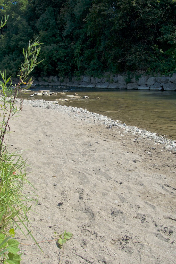
Looking north; the curve of the river allows sandy sediments to be deposited here.
So it’s not Bondi or Waikiki. It is however a quiet and scenic place to sit and reflect in the middle of a big city. If you stay quiet for a few minutes, you’ll be amazed at the wildlife that will appear – take your pick from toads, egrets, hawks, blue herons, mallards, mink, beaver, fox, coyote, deer etc.
Before Hurricane Hazel in 1954, the small community living here would use the beach in summer for picnics and as a way for children to cool off.
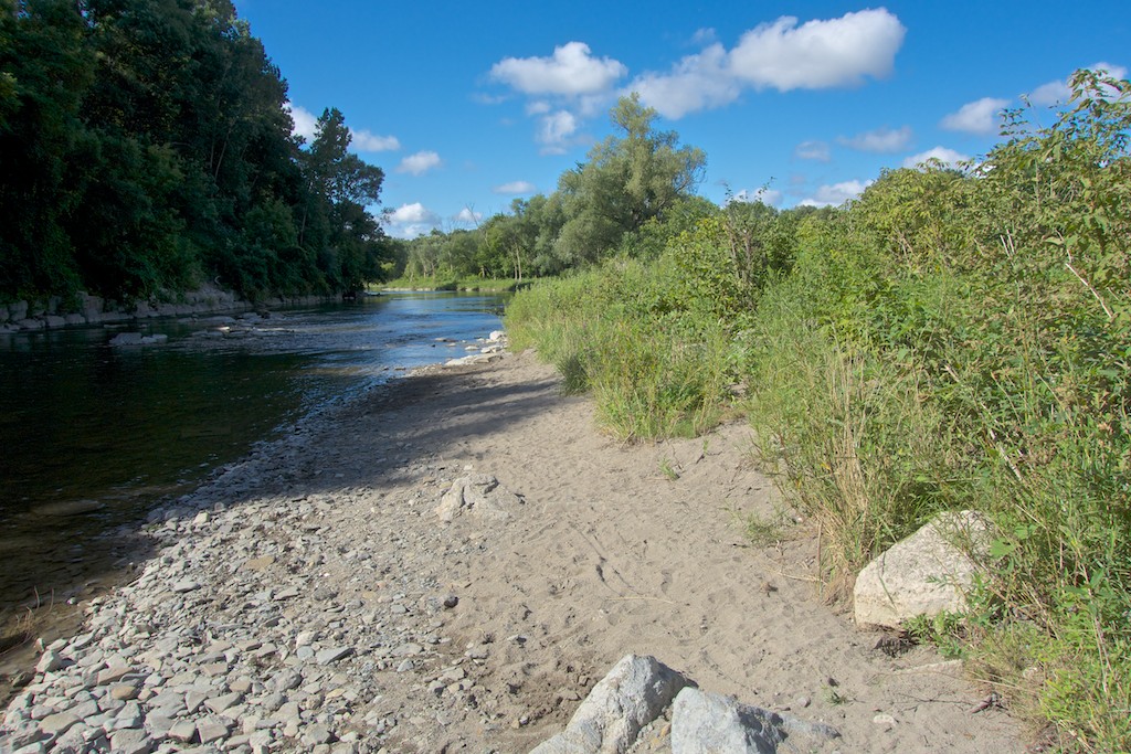
Looking south along the shoreline.


Pingback: Exploring Toronto’s Aerial History: Raymore Park Before Hurricane Hazel | Friends of Raymore Park