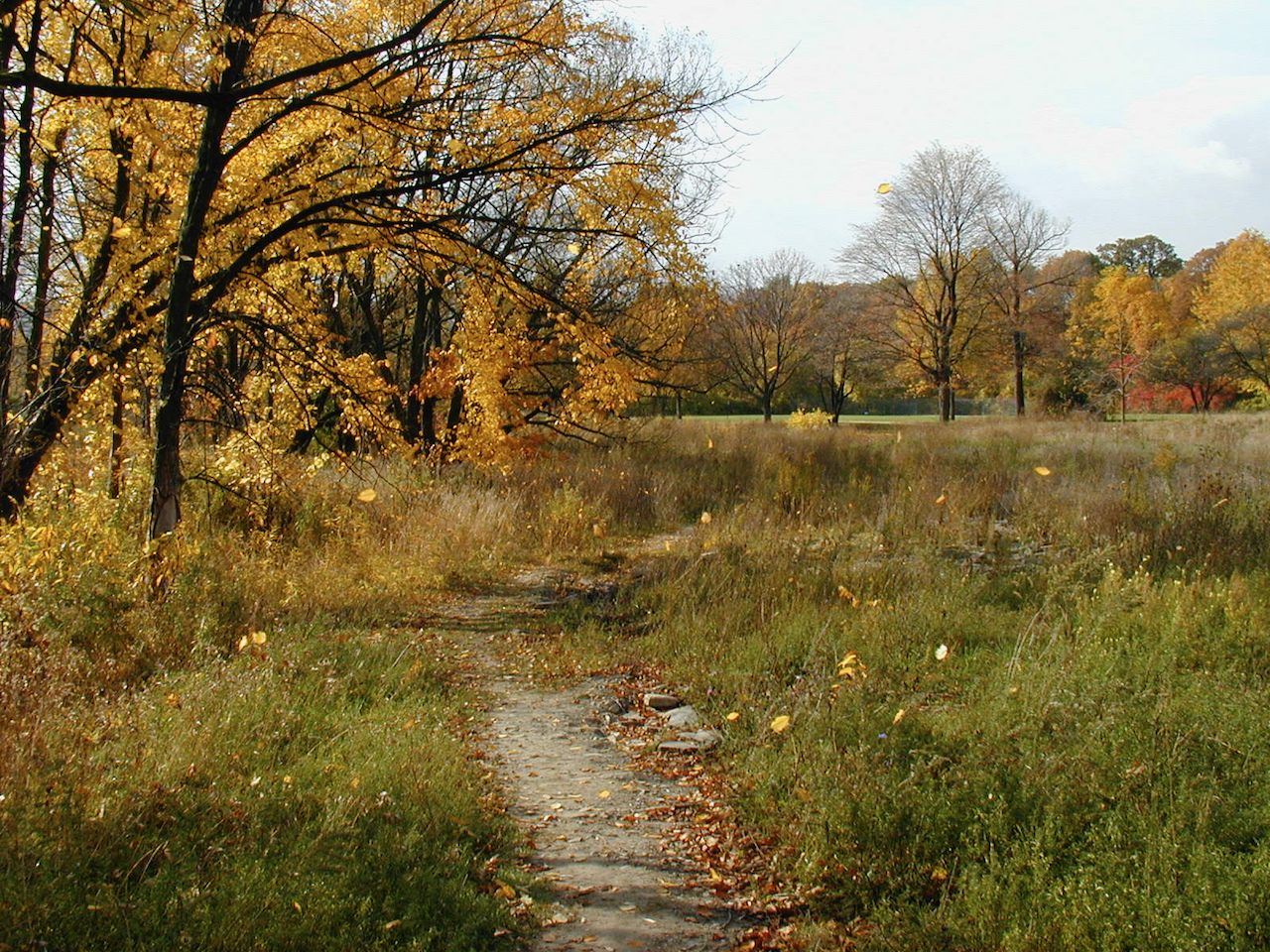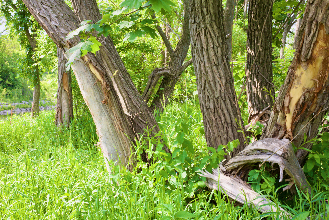
Norway maples (Acer platanoides) are everywhere in Raymore Park. They belong to one of many invasive species and will rapidly occupy land that isn’t mowed to the detriment of other plants and animals.
They were first introduced to North America in 1756 by John Bartram of Philadelphia, who imported the trees from England for sale as ornamental landscaping plants that quickly provided lots of shade. They have spread quickly since then by natural means as well as through human intervention.
They were mass planted in Canada after the Second World War as a replacement for the magnificent elm trees which were dying out because of Dutch elm disease. Norway maples don’t just provide lots of shade, they are disease resistant and grow quickly while tolerating air pollution and poor soil. They leaf quickly in spring and here in Raymore Park, keep their leaves until November. Because of the dense shade they provide and their shallow roots, many native plants from wild flowers to trees cannot thrive in their vicinity. In addition, it is thought they may produce substances which make it harder for other plants to grow. They are still very common in Canada’s cities but an awareness of the damage that they cause has led Toronto and other cities to stop planting them. In Massachusetts and New Hampshire, planting Norway Maples is illegal.
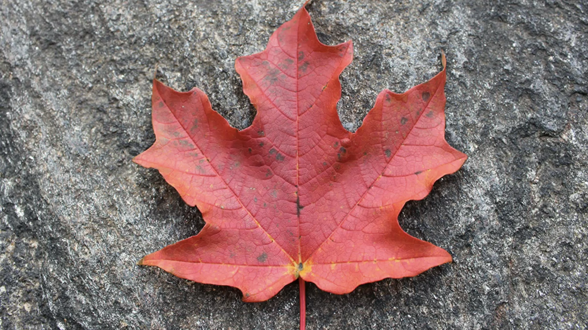
These trees are so pervasive, they have even wormed their way onto our banknotes. Although the Canadian flag features a sugar maple leaf, the leaves on our banknotes resemble Norway maple leaves.

Identifying a Norway Maple.
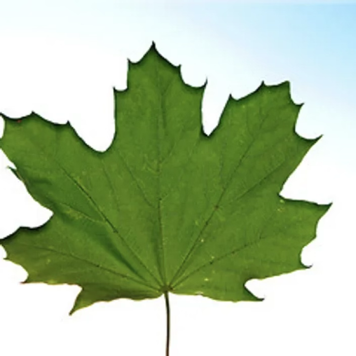

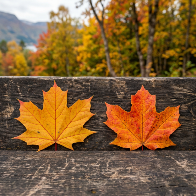
Not only are Norway maples bad for our native plants, their seeds are very fertile and can spring up just about anywhere. As a result, some park guardians actively remove saplings before they can become mature trees. They are also quite unstable – their branches can break easily. Their fall colouration is yellow rather than red.
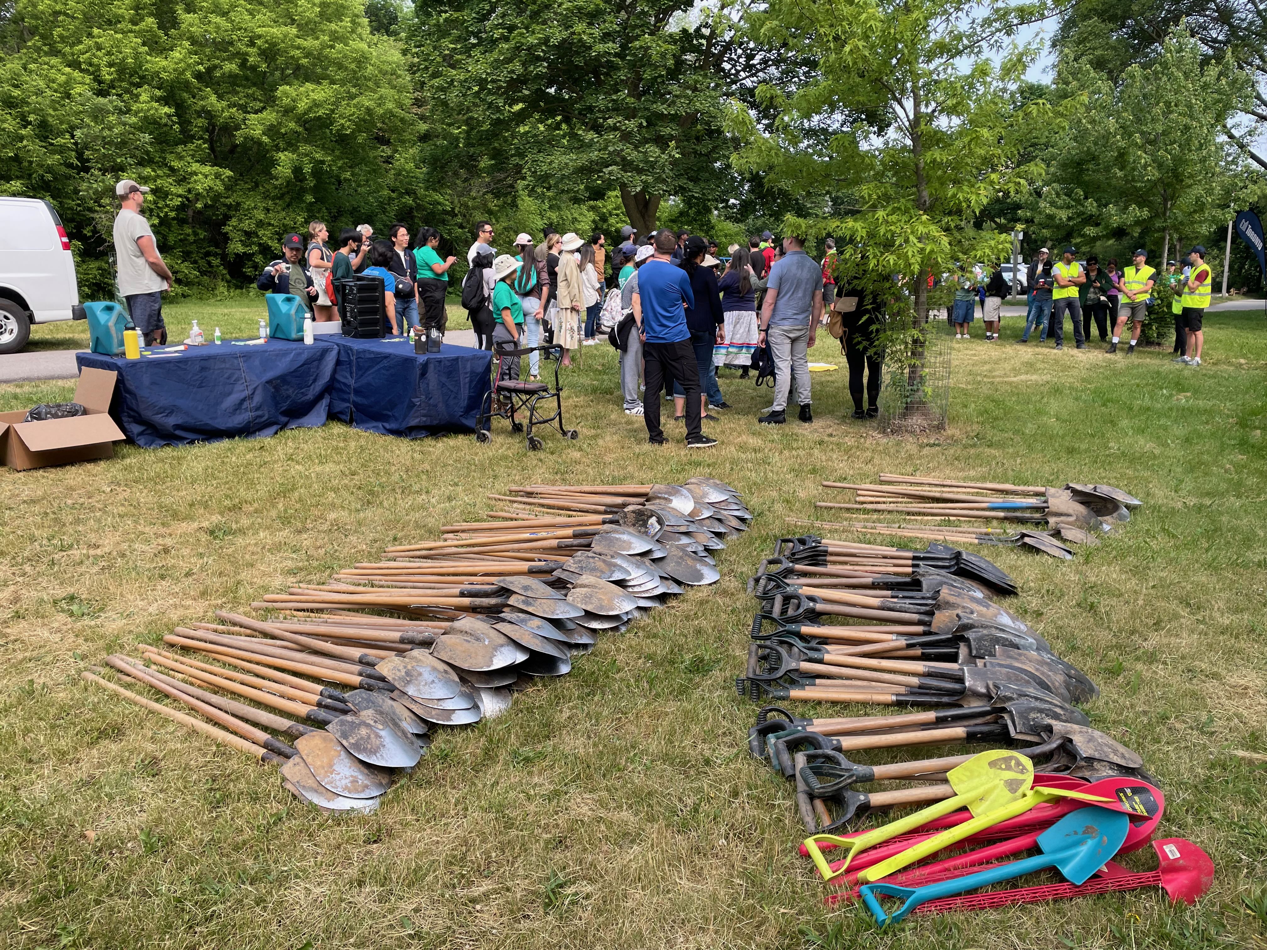
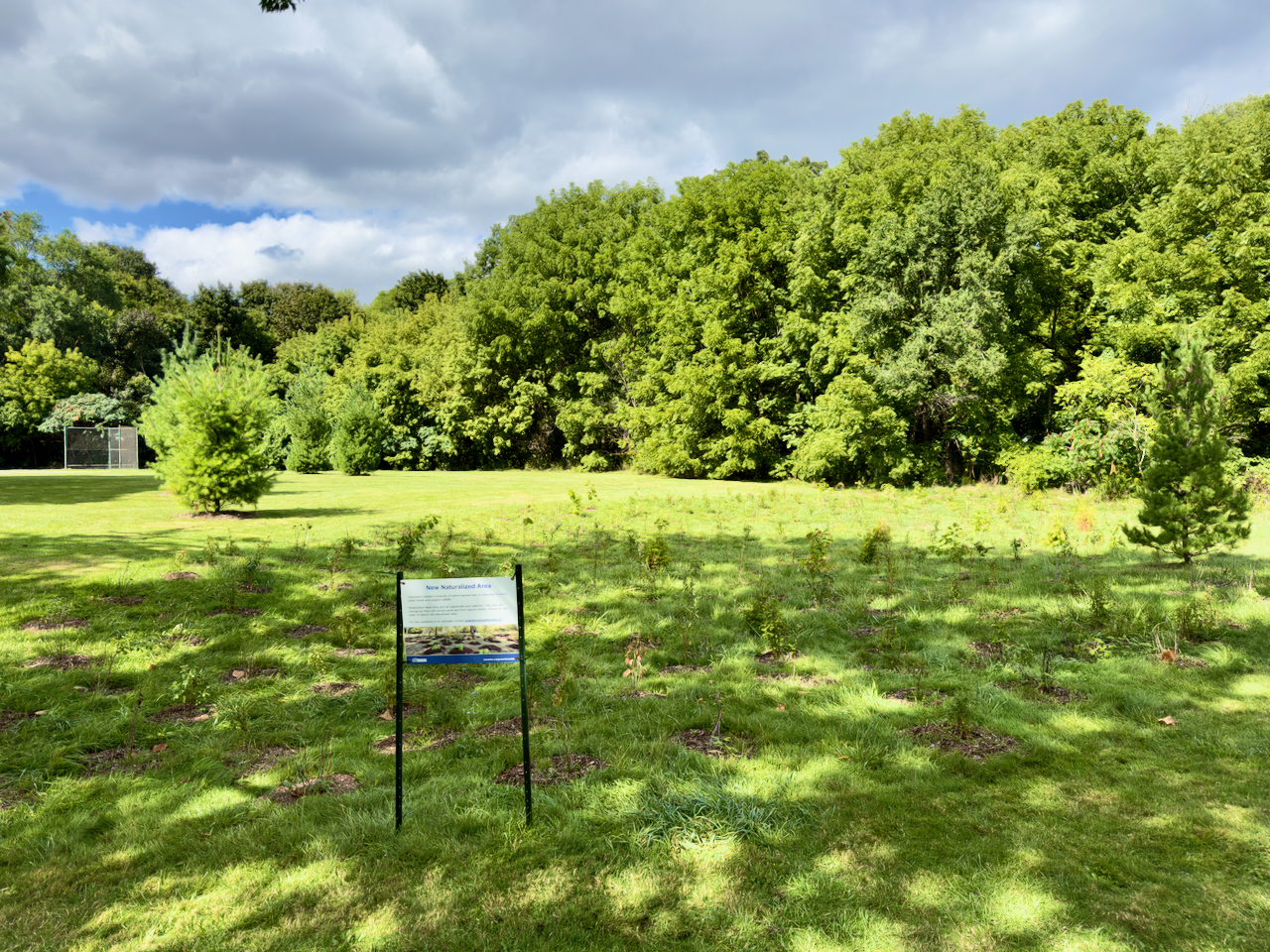
In the meantime, the steady replacement of Norway maples with native shrubs and trees seems to be the best approach. Fortunately, they take 25-30 years before they start shedding seeds so that’s where early intervention helps. The City of Toronto recommends replacing Norway maples with native species such as sugar maple, red oak, and silver maple, or hybrids like the Freeman maple and Pin oak.
Finally, here’s how people in lower Montgomery County, PA. deal with Norway Maples: