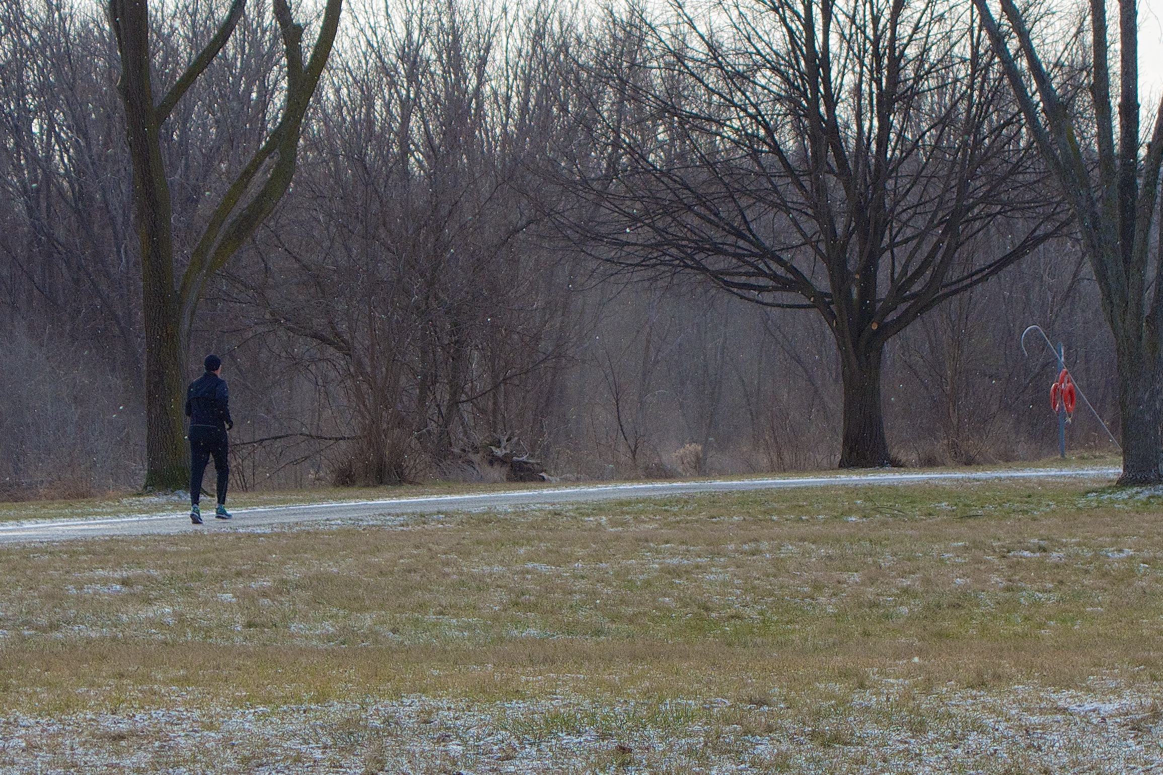
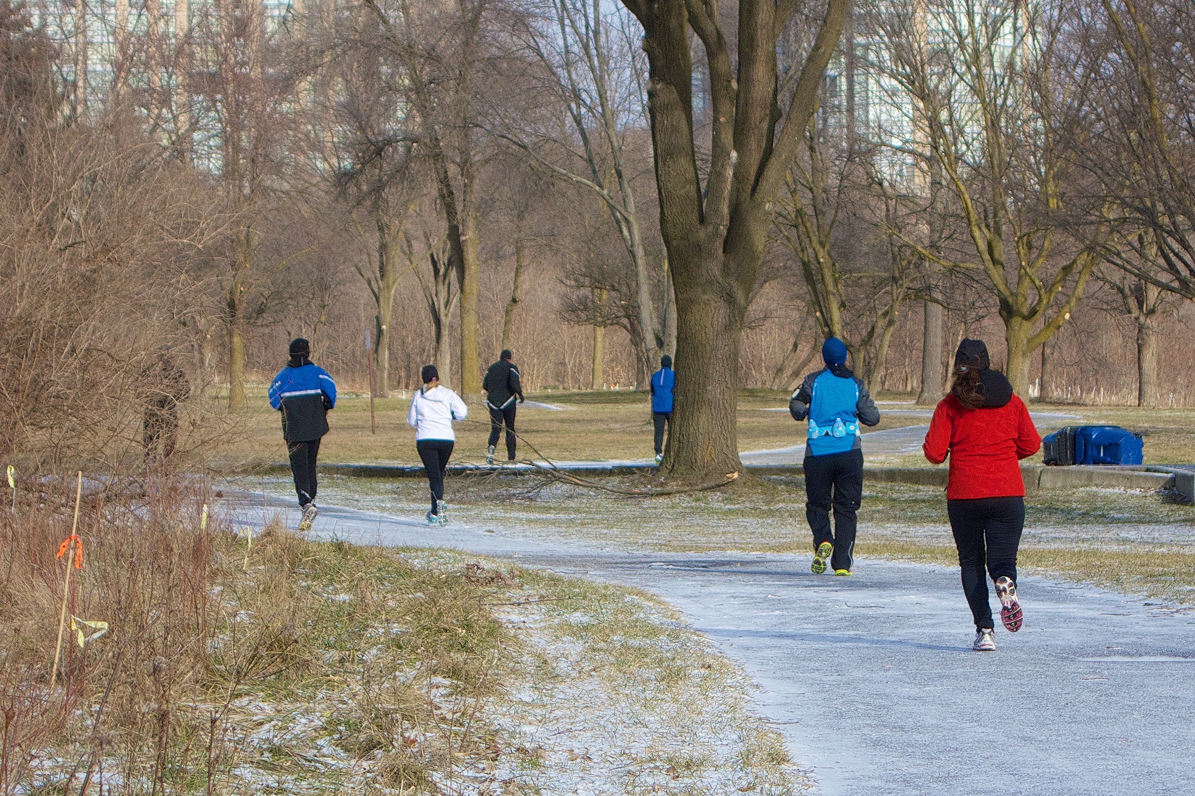
There are some who keep going through the park regardless of the weather. On Sunday there was a fair amount of ice on the trail but nothing stops these die-hards.
There are some who keep going through the park regardless of the weather. On Sunday there was a fair amount of ice on the trail but nothing stops these die-hards.

2013 01 16
Our dog Mugsey weighs about 80lbs. He was being sized up today by (what I believe is) a red-tailed hawk which followed us down the park trail this morning.
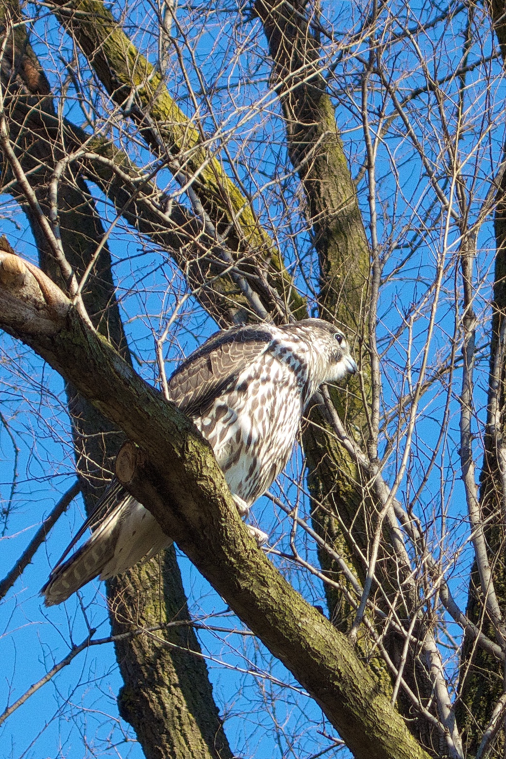
I spy some food.
The hawk made several low passes over Mugsey before deciding that he was a little too heavy for an in-flight snack. I was lucky enough to photograph the last of the food survey missions as it then sailed off to the south, looking no doubt for lighter fare. As they say, the best camera is the one you have with you. This little Sony RX100 is small enough to carry in a pocket yet has a large enough sensor to produce some outstanding images.
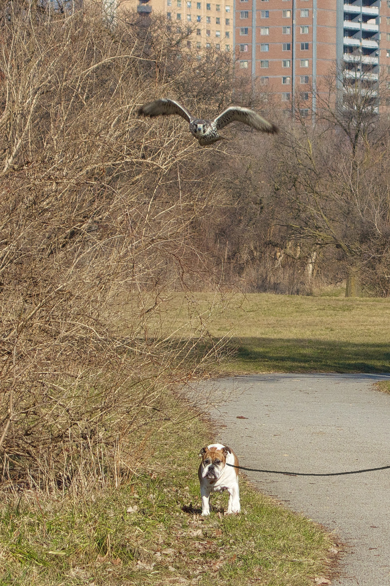
Wishful thinking…Mugsey plods on, blissfully unaware.
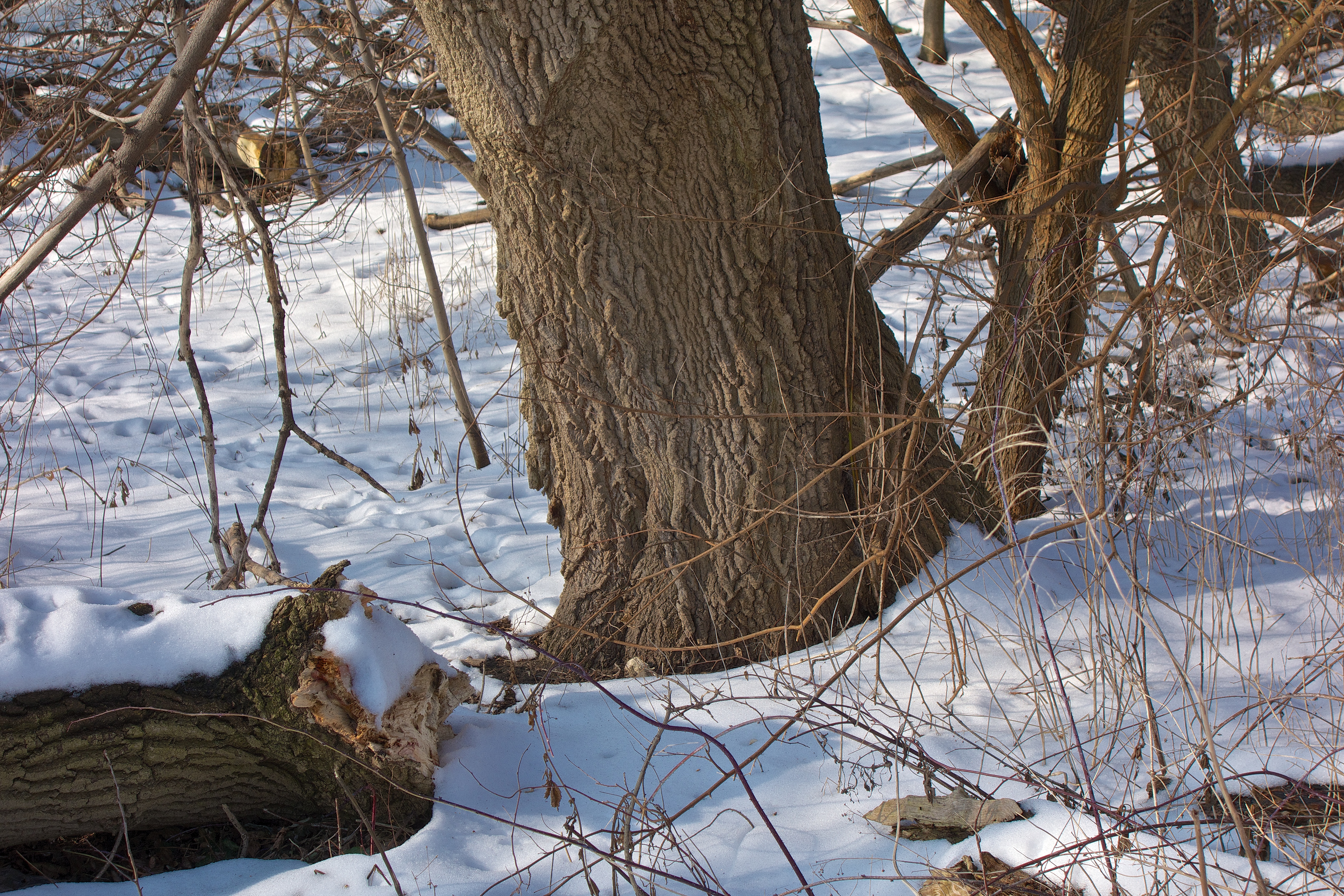
The light in the park today revealed some textures that were quite interesting – these old branches looked quite artistically placed and have attractive markings.
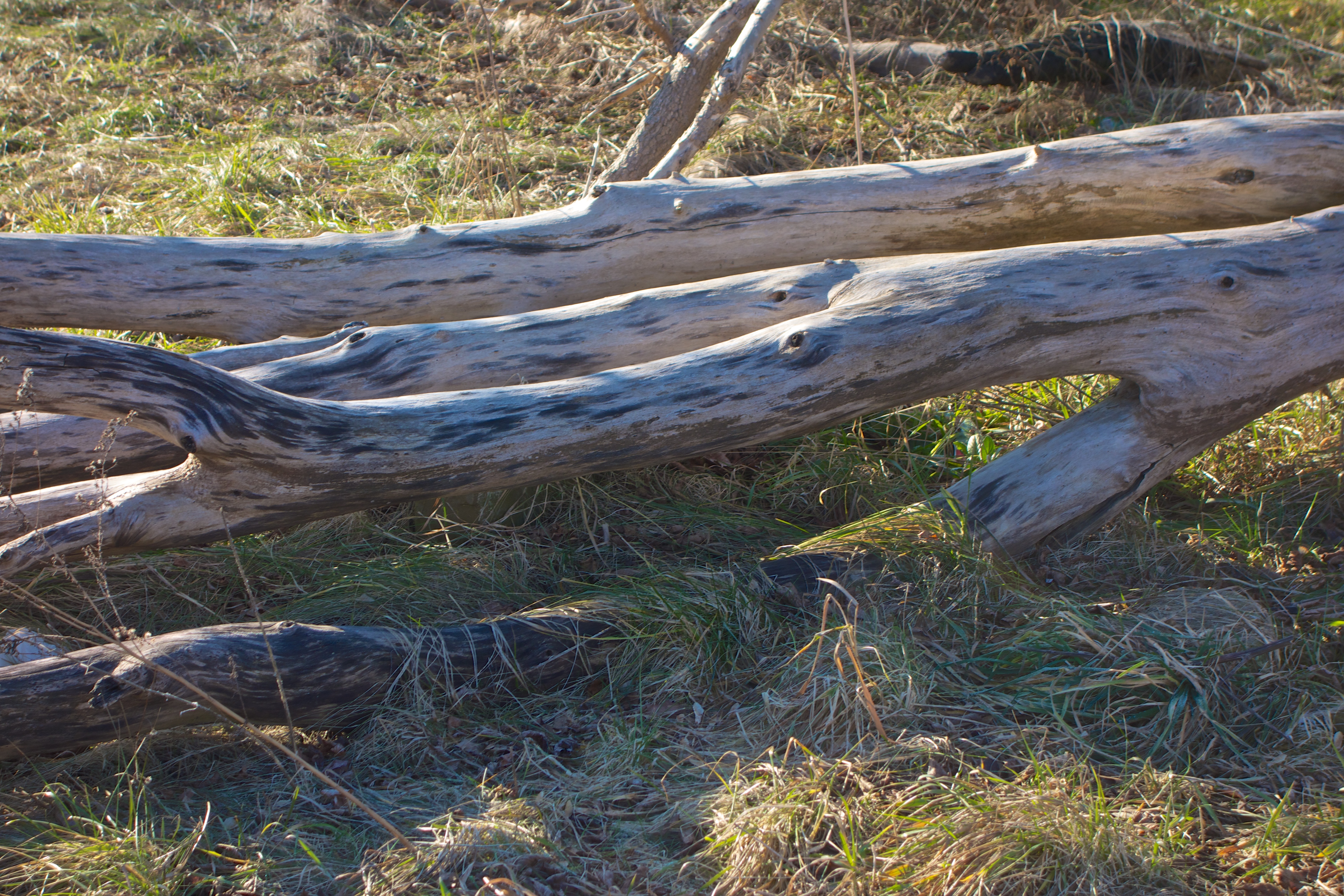
Nice patterning on the branches.
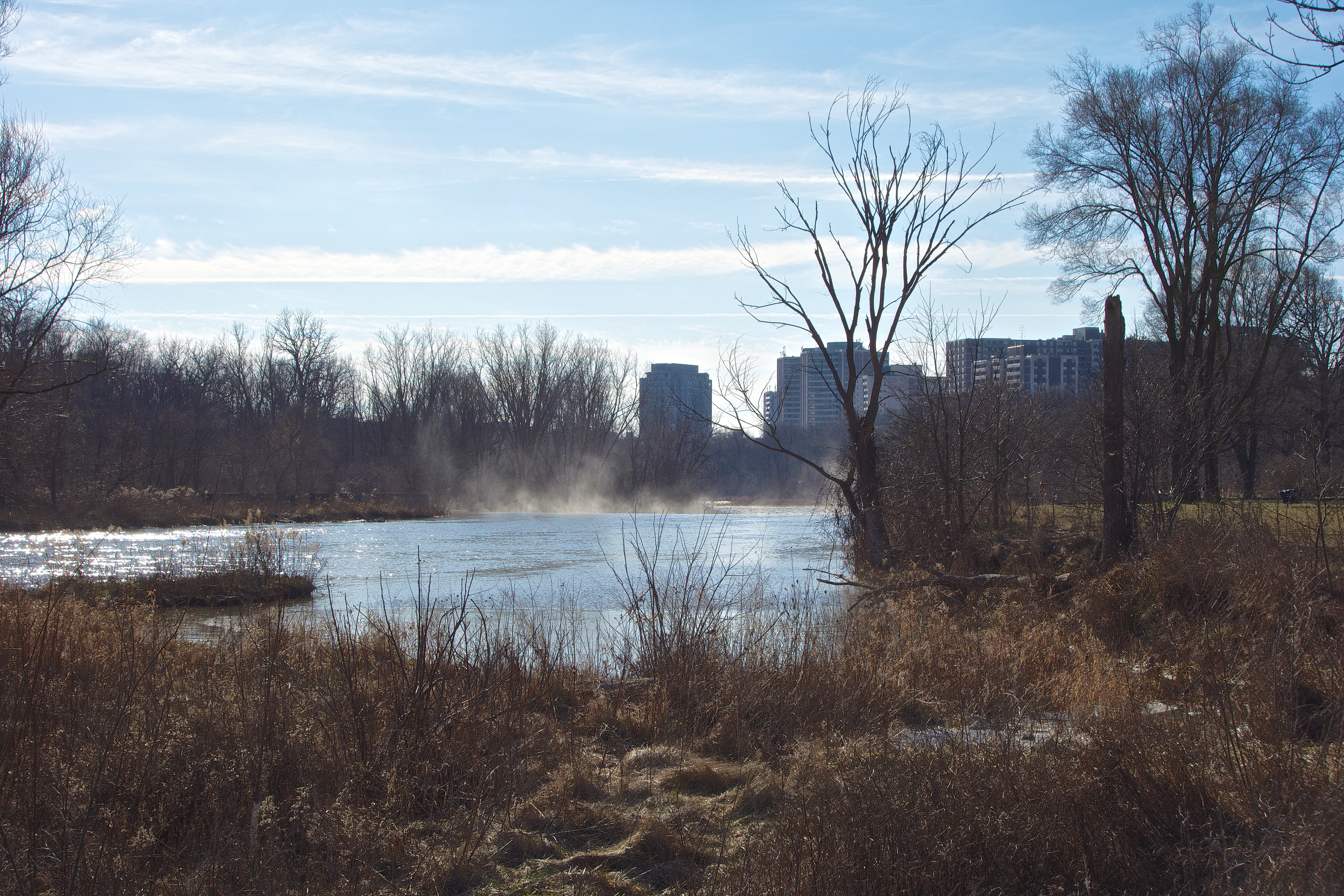
There is a clump of trees by the Humber in the ‘wild area’ that I like to photograph – in the mornings the sun is in the south behind the trees and in winter reflects off the river which makes for strong backlighting with tons of contrast and tests the latitude of any camera. This corner of the park seem to look great in any season.
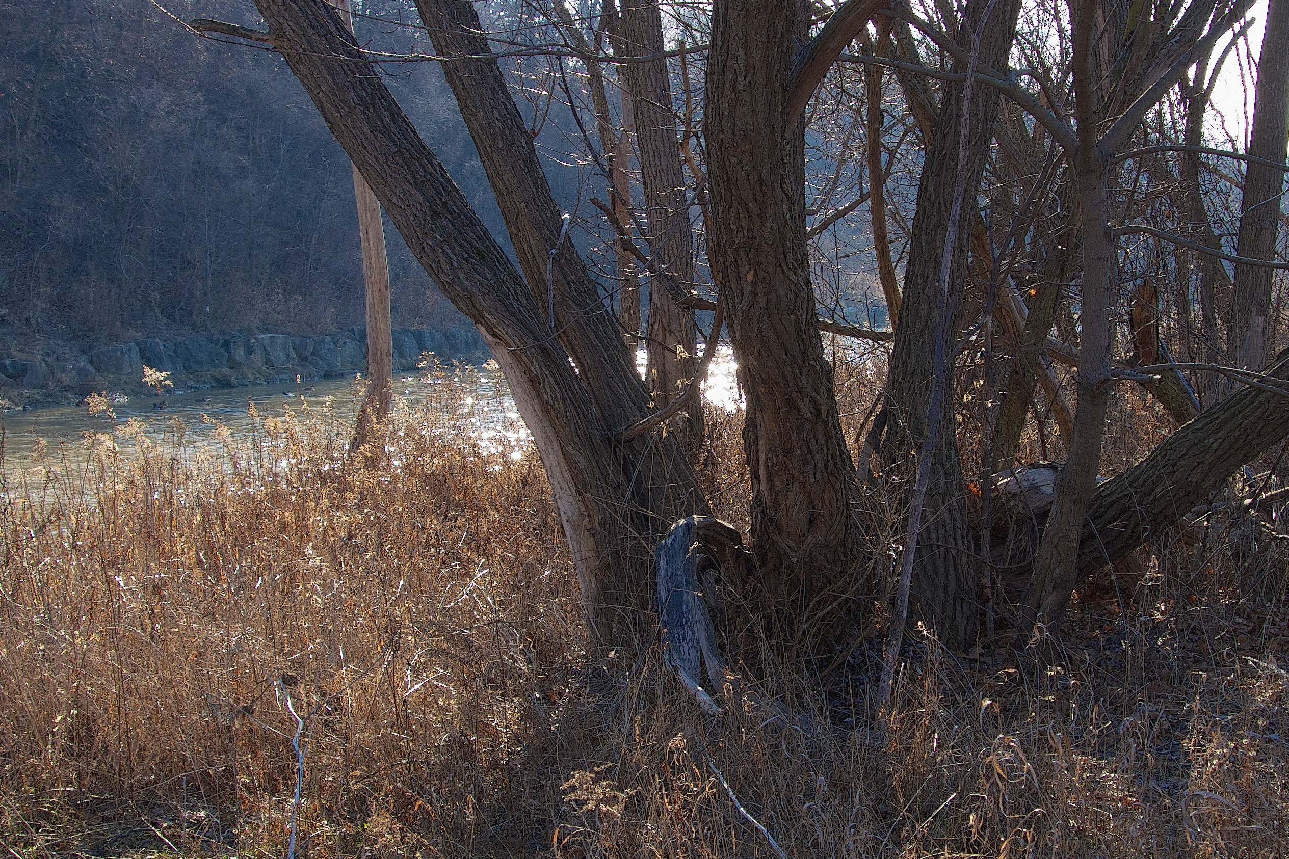
Notice the scars from river ice (several years ago).
Comparison with mid-May 2010 from a similar angle.
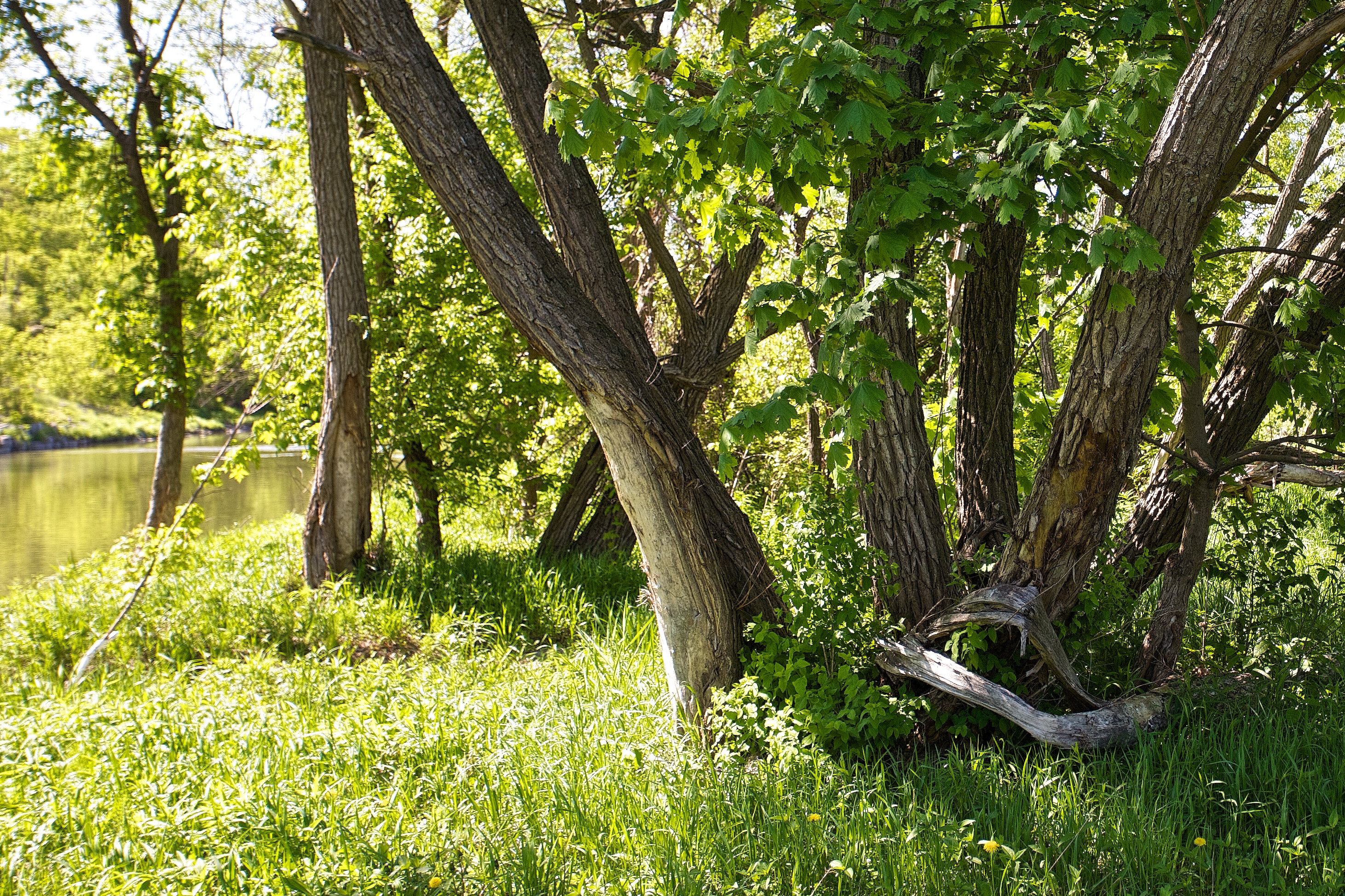
Spring in all its glory – won’t be long now.

It’s amazing what a couple of 14°C days can do to snow.
 The river has swept away all of the ice and is once more clear.
Reverse view, looking down the Humber towards the weir.
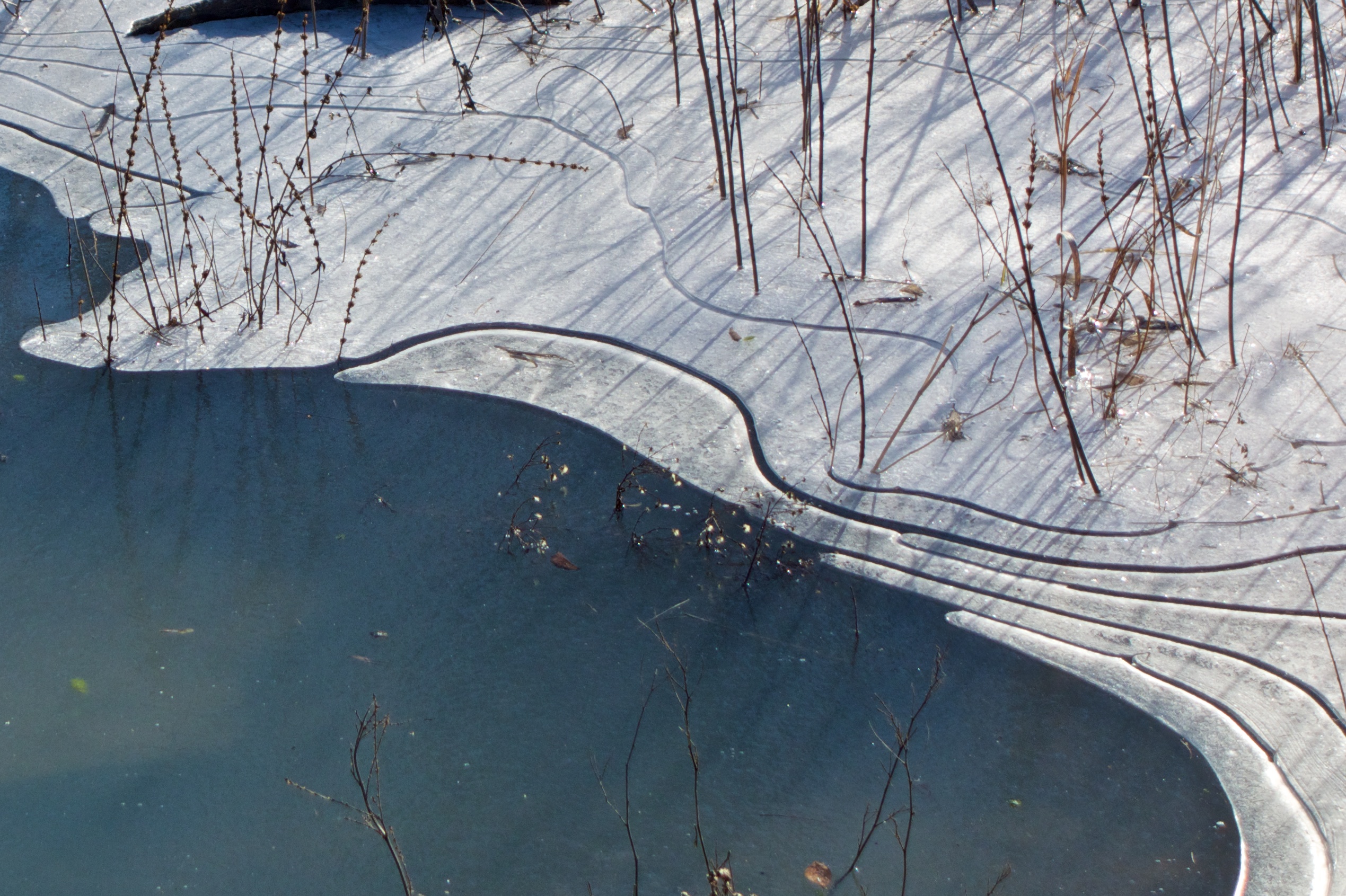
Patterns in the ice.
There are some interesting ice formations where water is freezing again. As the water level drops, small strips are broken off and are forming a series of lines.

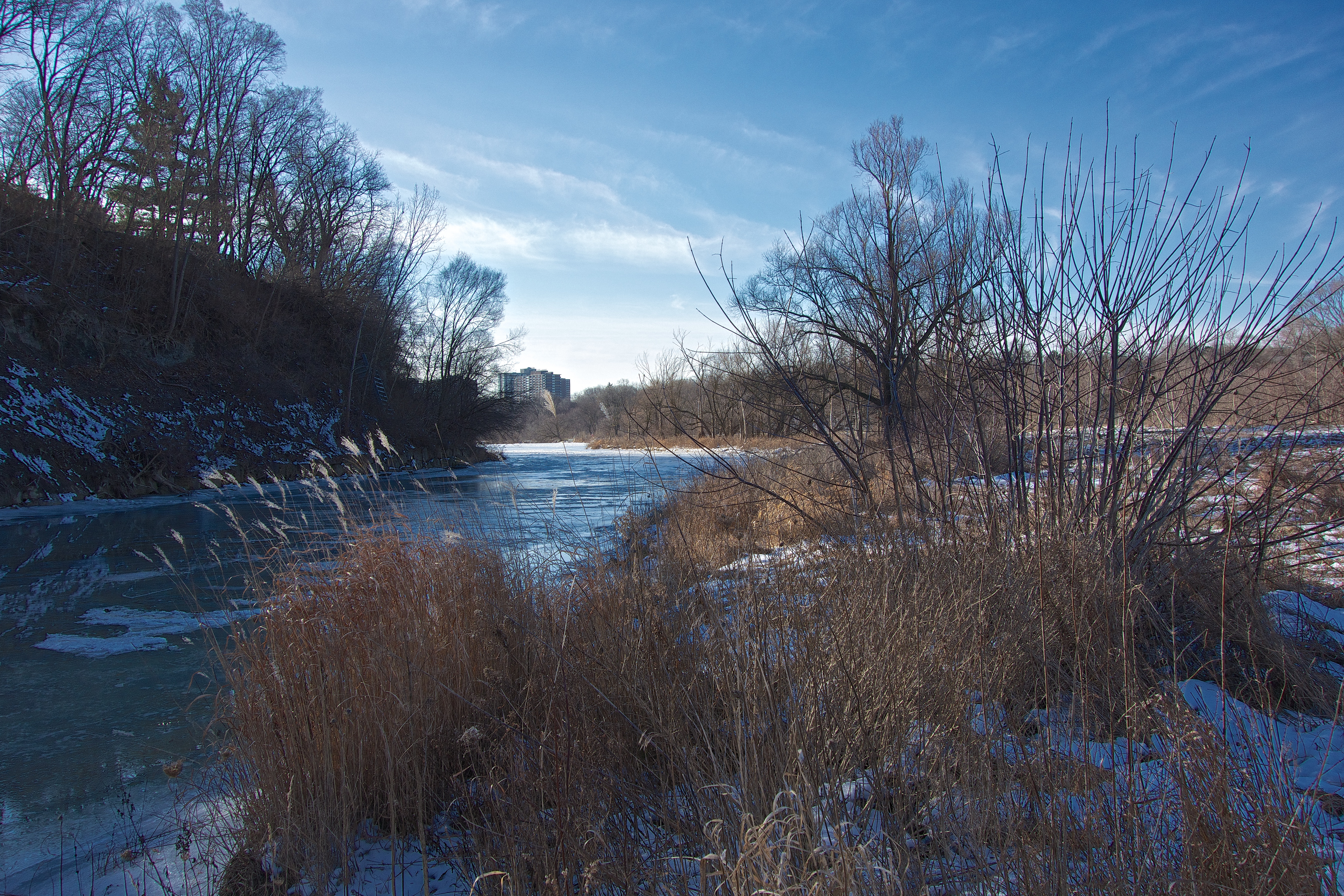
A mild day on the Humber.
2013 01 10
The January thaw is upon us; rain expected tomorrow will likely clear the rest of the snow from the park along with ice from the river which floats ashore progressively as a temporary dam is formed and water pressure builds. Large chunks of the ice often end up stacked along the riverbank in huge piles. Little possibility of that this week as the ice is quite thin and may simply disperse down the river.
Today with a low sun and mild weather, Raymore Park is a photographer’s paradise.
Lines, grains and texture.

The difference between early fall and early winter is illustrated in these two photographs; no prizes for guessing which one was taken today. The park literally teems with billions of creatures (mainly insects) at the end of summer while on a day like today wildlife seems strangely absent, even though a fair number of animals stick around by hibernating or finding winter food.
In addition to seasonal differences, the two photographs are about 8 years apart which can be seen by the growth of the bushes on the left.
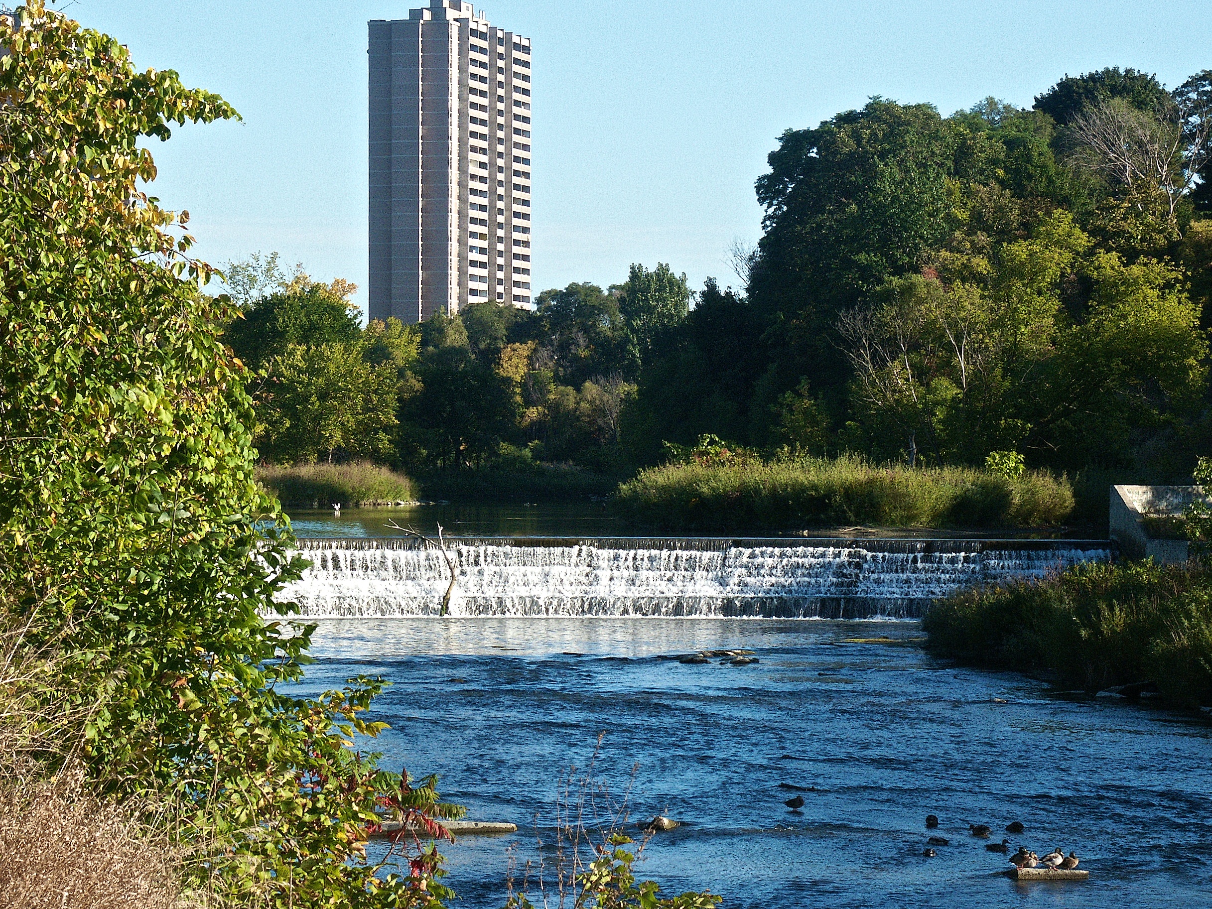
29 September 2004.
Looking at today’s image, it’s hard to imagine anything surviving but in less than three months, the park will begin to stir as the sun’s warmth returns.
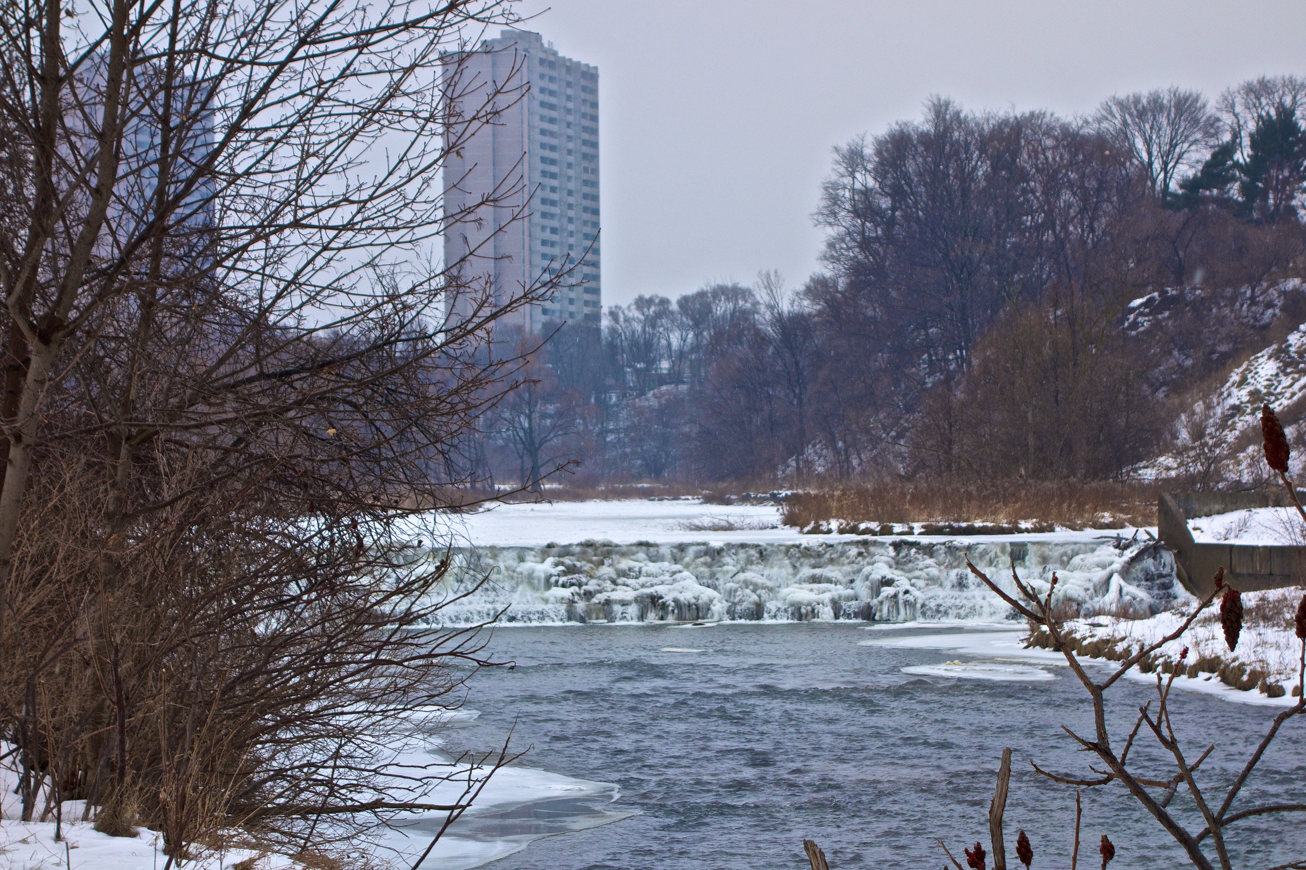
6 January 2013.
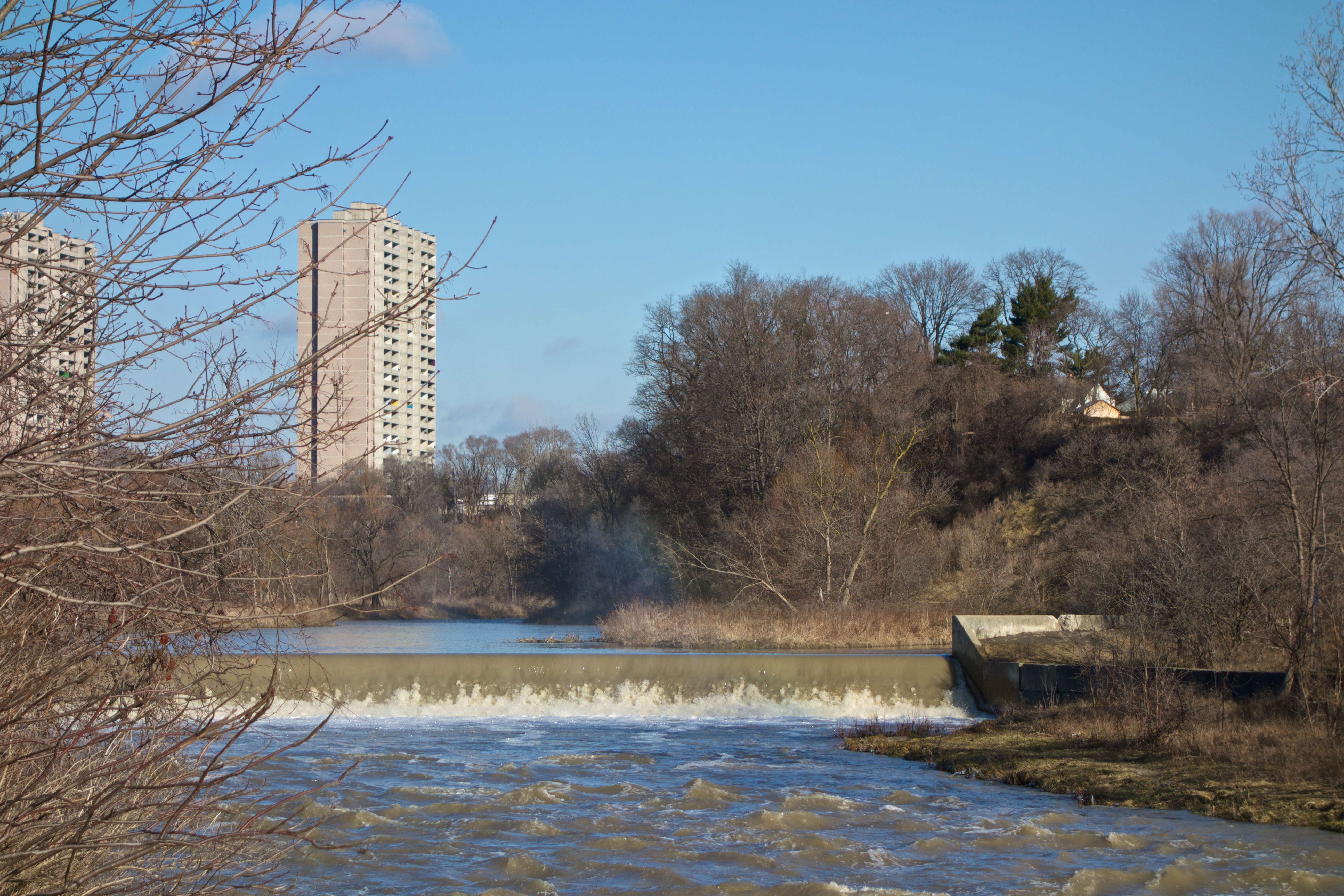
Off topic rant/ The apartment building in the photographs is one of a pair of notorious carbuncles built on Weston Road in the 1970s. These have been the subject of many a city compliance order and have become in some ways too big to fail. The landlord was recently given $1.8 million of taxpayers’ money to fix up the place. Hopefully the gift of a GO Station moving onto the doorstep should spare the taxpayer from further assistance to this alleged capitalist enterprise. /rant


Frozen spray builds up on the steps of the dam. Can you see the sign to the left of the bench?
2013 01 03.
The dam in Raymore Park was one of several constructed after Hurricane Hazel in 1954. Designed to come into action during times of heavy rains, it’s purpose is to ease the pressure on downstream areas by flooding the nearby plain upstream. Unfortunately, this dam is so tall it blocks the passage of migrating fish. To solve this problem, a denil fishway (better known as a fish ladder) was constructed around 2000 at a cost of around $250,000. The idea is to allow migrating salmon and trout to climb this otherwise insurmountable barrier by building a series of easily managed concrete steps. Water flow is moderated using metal baffles at each step. The entrance to the fish ladder is on this side of the dam at the base of the falls and fish can be seen congregating there in spring and fall migrations (along with unscrupulous fishermen). The ladder was expensive and considerable ongoing maintenance is required before each migration to clear twigs and other debris placed there by opportunistic beavers. I always joke that it would have been cheaper to transport the fish by taxi.
The dam is a pretty sight in all seasons. However, just as people might think they are in some idyllic place – a nirvana in the city, the sign by the dam is designed to knock all that nonsense out of you.

How many bullet holes can you count?
In addition to informing us that the water is polluted, somebody has told us that the sign is riddled with bullet holes by helpfully pointing out one of them. In other words, if the pollution in this beauty spot doesn’t get you; a cap in your ass might. I wonder who’s doing the polluting or if this ancient sign is relevant any more? Obviously this sign has just faded into the background and park officials no longer see it.
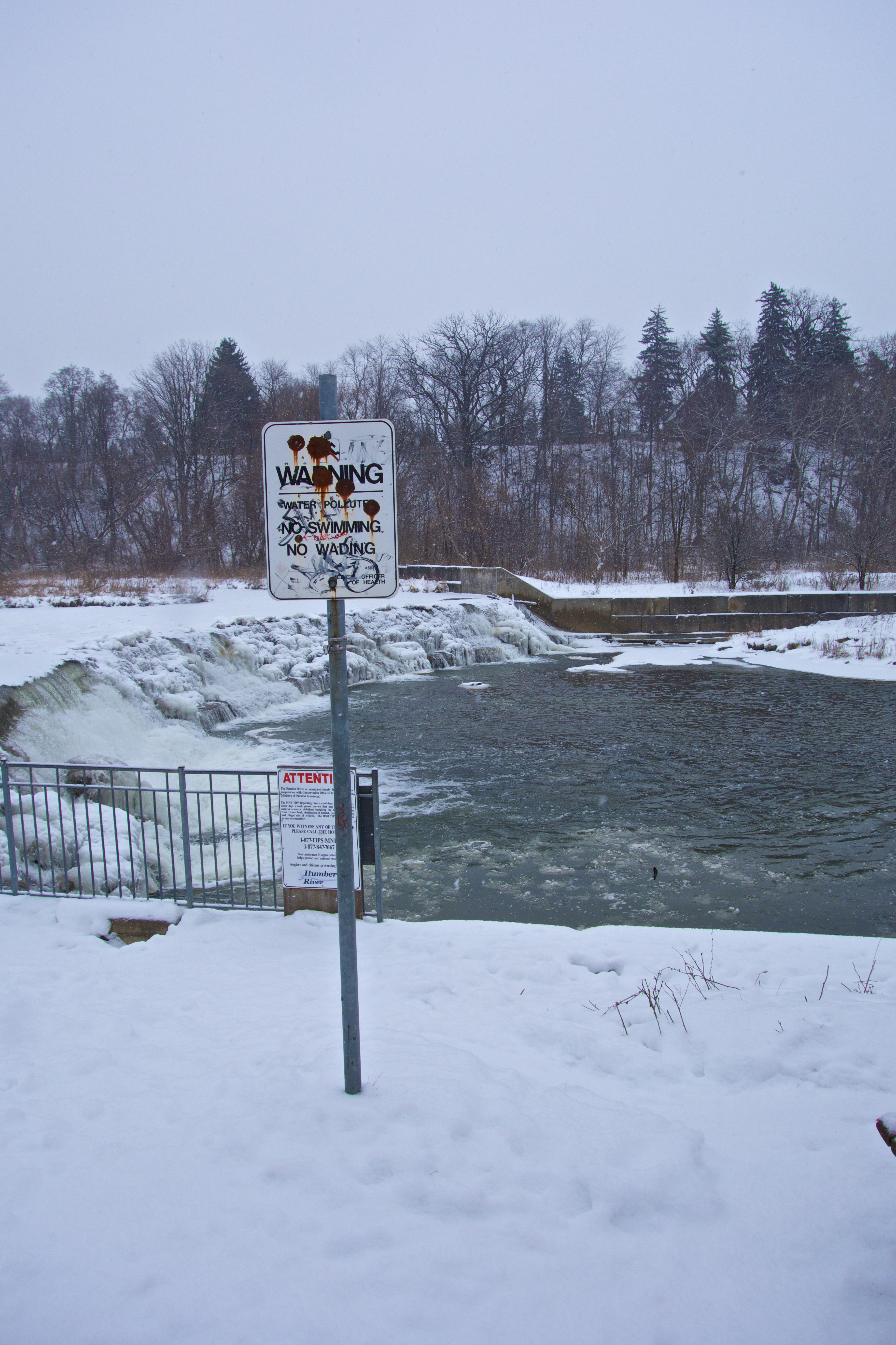
This tourist moment is brought to you by…
That sounds like a job for me – phone the city and get it removed.


Looking south towards the apartments at Scarlett and Eglinton.
2013 01 02
The cold continues and the Humber River ice is thickening. At this part of the river, water never freezes with a smooth surface – it’s just lumps of ice that have floated downstream and frozen together at this point. As winter progresses, the thickening process continues, snow and sometimes rain will be added. During a thaw, water flow increases and the ice forms a dam. Eventually, the ice breaks up and floats ashore in huge thick chunks (which I have never managed to witness).The trees along the bank bear the scars of previous years’ breakups.


Last winter was unusually mild and the robins never left. Today there was a few of them feeding on sumac flowers about half way down the park and not at all bothered by my presence. After a couple more centimetres of snow yesterday, the park is looking at its winter finest.
 Down along the Humber, there is a tangle of trees that have been battered by river ice over the years. A fresh covering of snow always adds to the charm.


Humber River footbridge with an abutment of the old suspension footbridge bridge visible on the far left.
Another snowfall today and the view towards Raymore Park is very ‘picture postcard’ seasonal. This shot is taken during snow from Lions Park on the other side of the footbridge. This crossing over the Humber, installed in 1995 replaced the suspension footbridge that was swept away during Hurricane Hazel in 1954. The old footbridge was actually blamed for many of the deaths during the hurricane as it formed a dam and directed the flow of water towards housing on lower sections of Raymore and Gilhaven Drives. Interestingly, the abutments of what is probably the old bridge are close by the footbridge and still visible.
One abutment is on the Weston side and the other is currently hidden under the driftwood on the right bank in the second photograph.
The river flows quite quickly under the bridge and will take a few more days of these temperatures before freezing over. Downstream, around the bend, the river is already covered with ice.

Looking downstream from the bridge.

