Category Archives: Hurricane Hazel

60 years since Hurricane Hazel

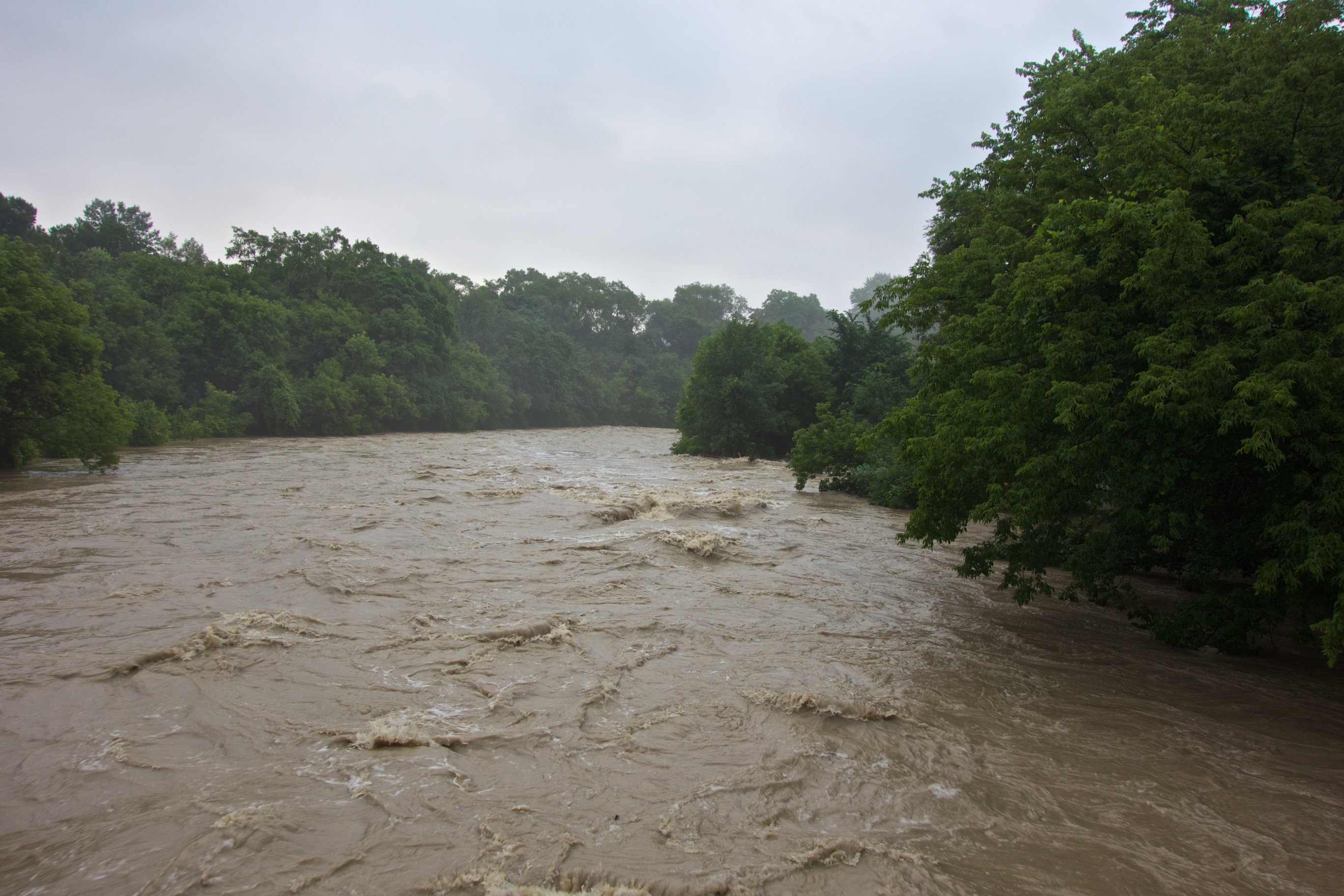
This year is the 60th anniversary of Hurricane Hazel. The night of October 15th, 1954 saw a storm that hugely affected many parts of Toronto and Southern Ontario. The epicentre of the tragedy was of course Raymore Drive where 35 residents died. In order to avoid such tragedies in the future, the Toronto and Region Conservation Authority was formed. This body was charged with setting aside flood-prone lands and creating the parks system that is a major feature of today’s Toronto.

To commemorate the anniversary, I’ll try and produce the occasional article on the topic until October. The first one will appear later this week.

The eastern abutment of the old footbridge connecting Weston to Raymore Drive.

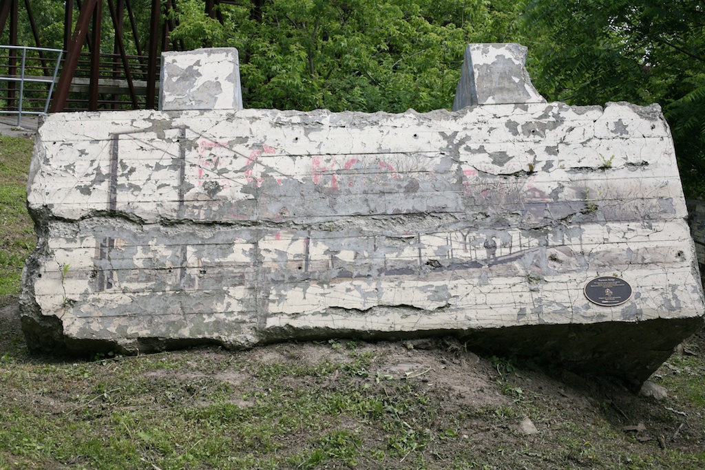
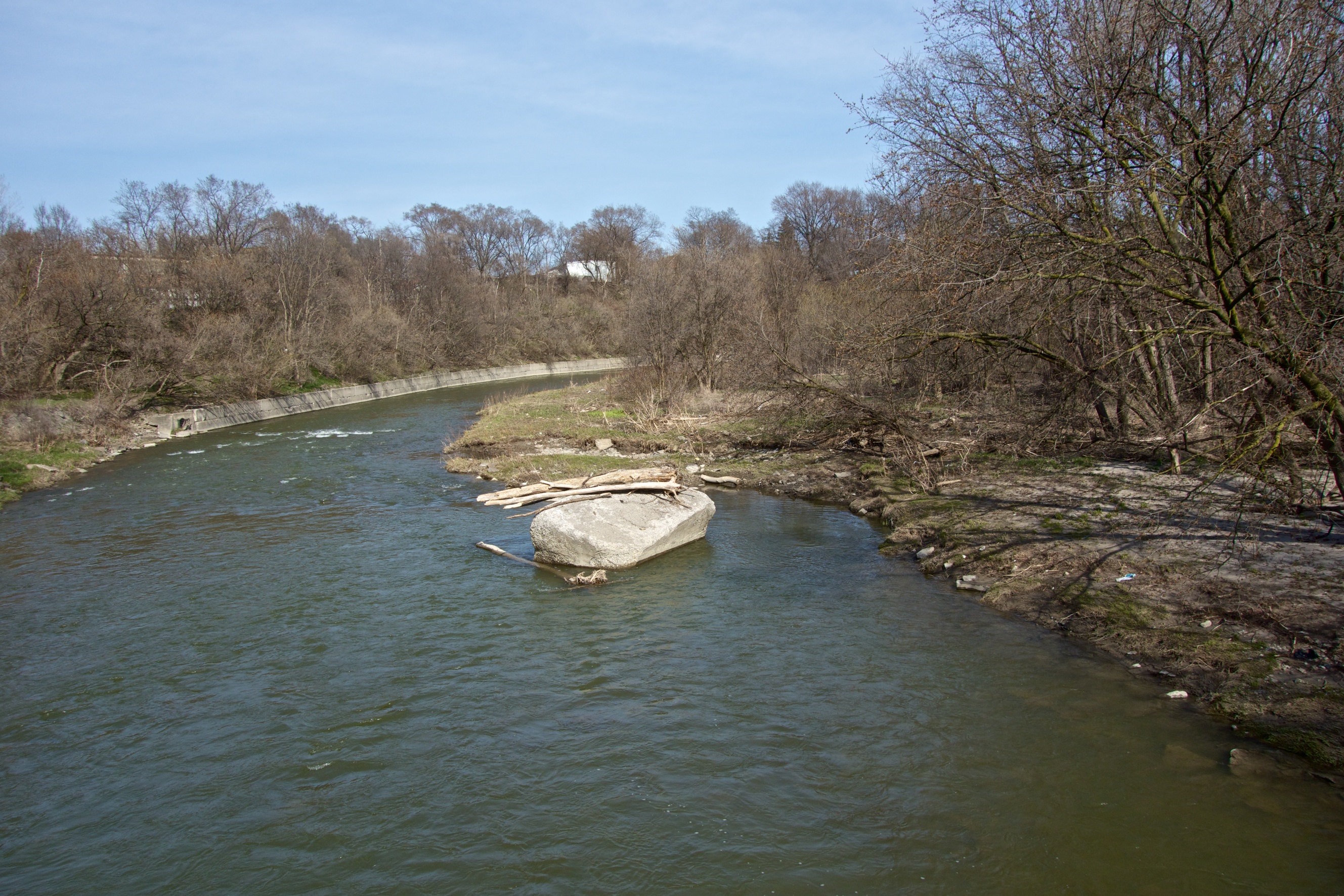
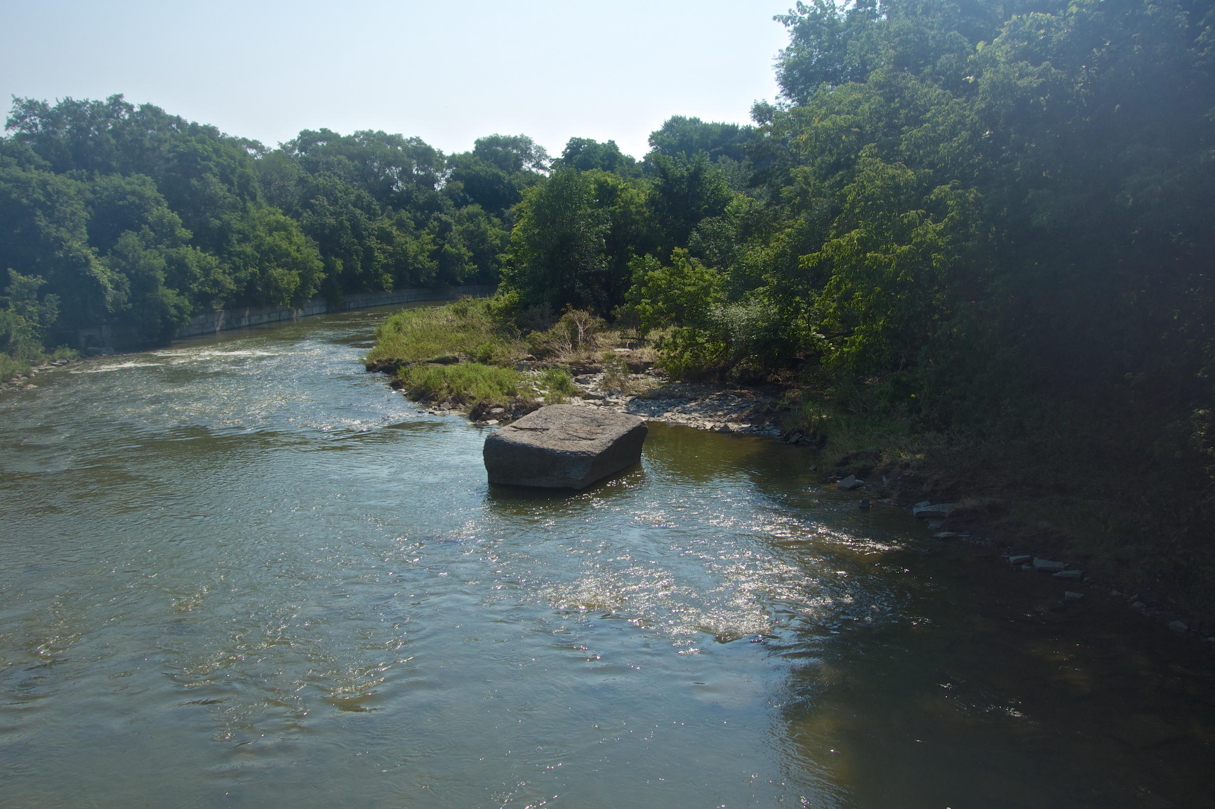
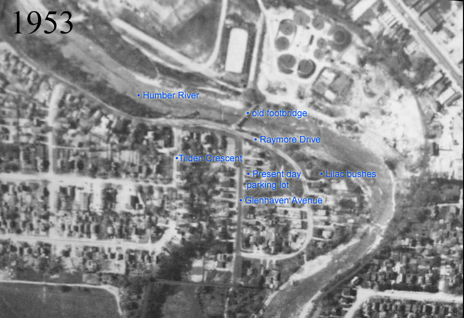
The eastern abutment of the old footbridge connecting Weston to Raymore Drive. Artist Mario Noviello painted this commemorative work in 2002 but sadly the weather has not been kind to his creation showing the original suspension bridge. The western abutment remains in the river where it was dragged during Hazel’s fury.

Old footbridge abutment turned by big storm.

Its a subtle change but during the July 9th storm, the old bridge abutment was shifted backwards by the force of he river. The old bridge was destroyed in 1954 during Hurricane Hazel and the abutments have remained, more or less in place to this day. There is a strong theory that before its destruction, the bridge held together long enough to form a dam which sent the full force of the river from the bottom left of the picture into the small community living in the area to the right.

The before photo taken last April.

The ‘before’ photo taken this April.

The Humber in full flood, July 9, 2013

The same view with the Humber in full flood, July 9, 2013

The after photo taken July 23.

The ‘after’ photo taken July 23.

I have tried to take the comparison shot from the same viewpoint and with water levels roughly the same. To my untrained eye it looks as if not only has the big lump of concrete been rotated backwards by the force of water, it also seems as if it is riding higher, perhaps having been pushed onto higher ground.

Or maybe it’s my imagination…

More hints of the past

Housing was once scattered along the length of the Humber. Quite a few were built on the valley floor in present day Raymore Park. Raymore Drive used to stretch down into the present-day parking lot and Gilhaven Avenue. It must have been an idyllic location with nature close at hand, rich flood plain soil and an easy walk to the shops and transportation links in Weston. Interestingly, I was talking to long time Weston resident Douglas Tucker and he mentioned that until the mid-1960s, Weston was a shopping destination for people from as far away as Palgrave and Bolton thanks to a regular train service.

In Raymore Park, few traces remain of the houses once located here before they were either swept away during Hurricane Hazel or demolished by authorities in the aftermath. Every spring however, flowering shrubs are living reminders of the families who cultivated gardens here more than fifty years ago.

This beautiful lilac blooms faithfully every year.

This is one of two beautiful lilacs that bloom faithfully every year.

Apple blossom pokes its way through the surrounding trees.

Apple blossom pokes its way through the surrounding trees.

A beautiful American Honeysuckle towers over day lilies.

Along with the day lilies in front of it, I don’t know if this beautiful honeysuckle is a remnant or not.

This City of Toronto Archive aerial view has been labelled to show the location of some of the streets including Gilhaven Avenue which no longer exists. The present-day lilac bush and parking lot locations are marked. The Humber still follows the same approximate course.

Aerial view of Raymore and Glenhaven in 1953.

Aerial view of Raymore and Gilhaven in 1953.

Ghosts of the past

Every so often when weather conditions are just right, strange apparitions begin to form by the entrance to Raymore Park. These are the shapes of homes that lined Raymore and Gilhaven Drives until Hurricane Hazel brought devastation to the area in 1954. The houses at this location were untouched by the flooding but were purchased and demolished as a precaution. The basements were filled in and levelled. Part of an original concrete pathway still survives. The shape of the basements can be seen because the fill was different to the surrounding soil causing a variation in the plant cover. Based on the same principle, archaeologists often use aerial photographs when looking for ancient settlements.

The entranceway path and beyond, the faint basement outline.

An entranceway path and beyond, a faint basement outline.