Tag Archives: Weston

Raymore Park: Changes over the years. Part 3.

My observations regarding changes to Raymore Park over the last 32 years. Click for the first five items in Part 1 and Part 2.

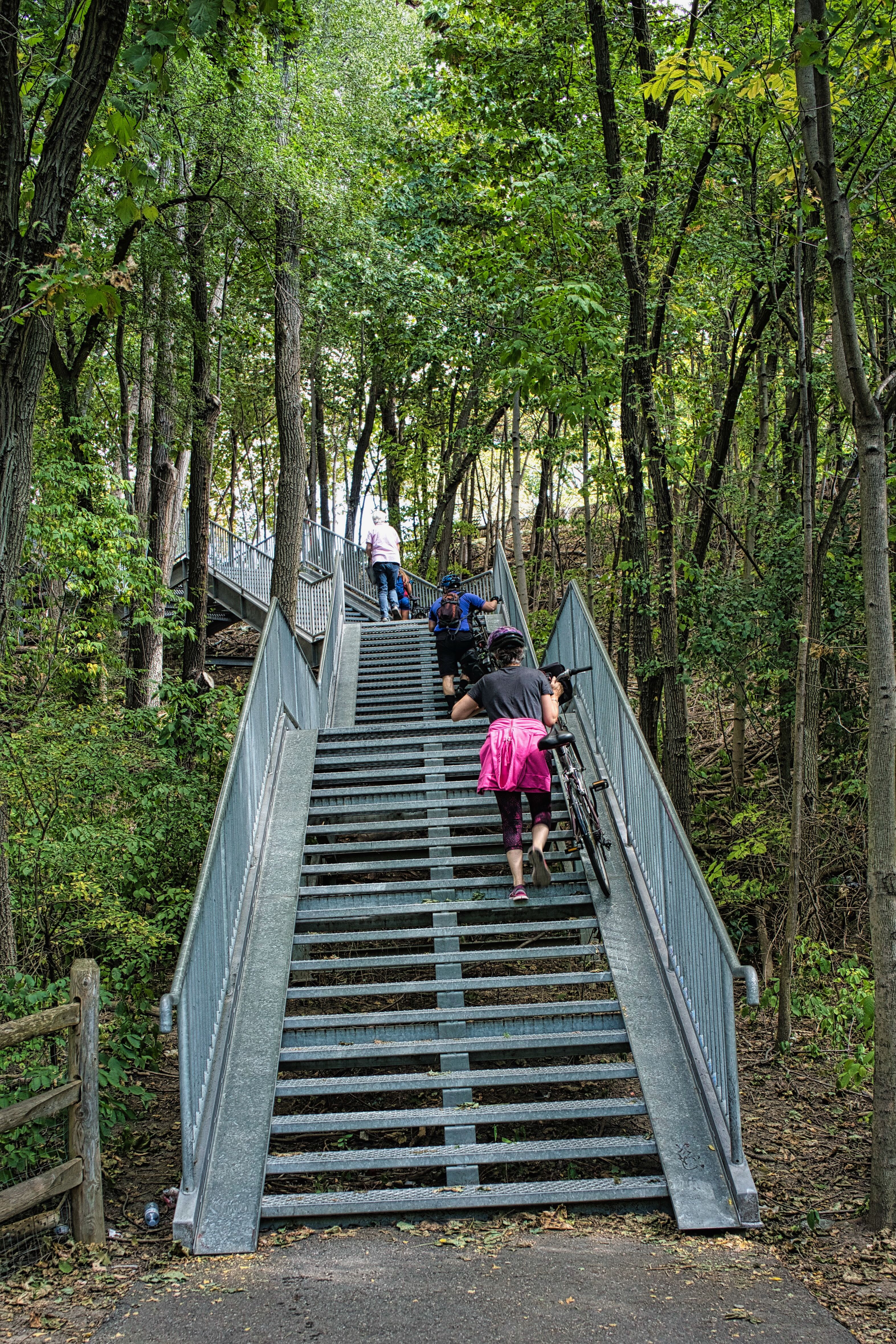
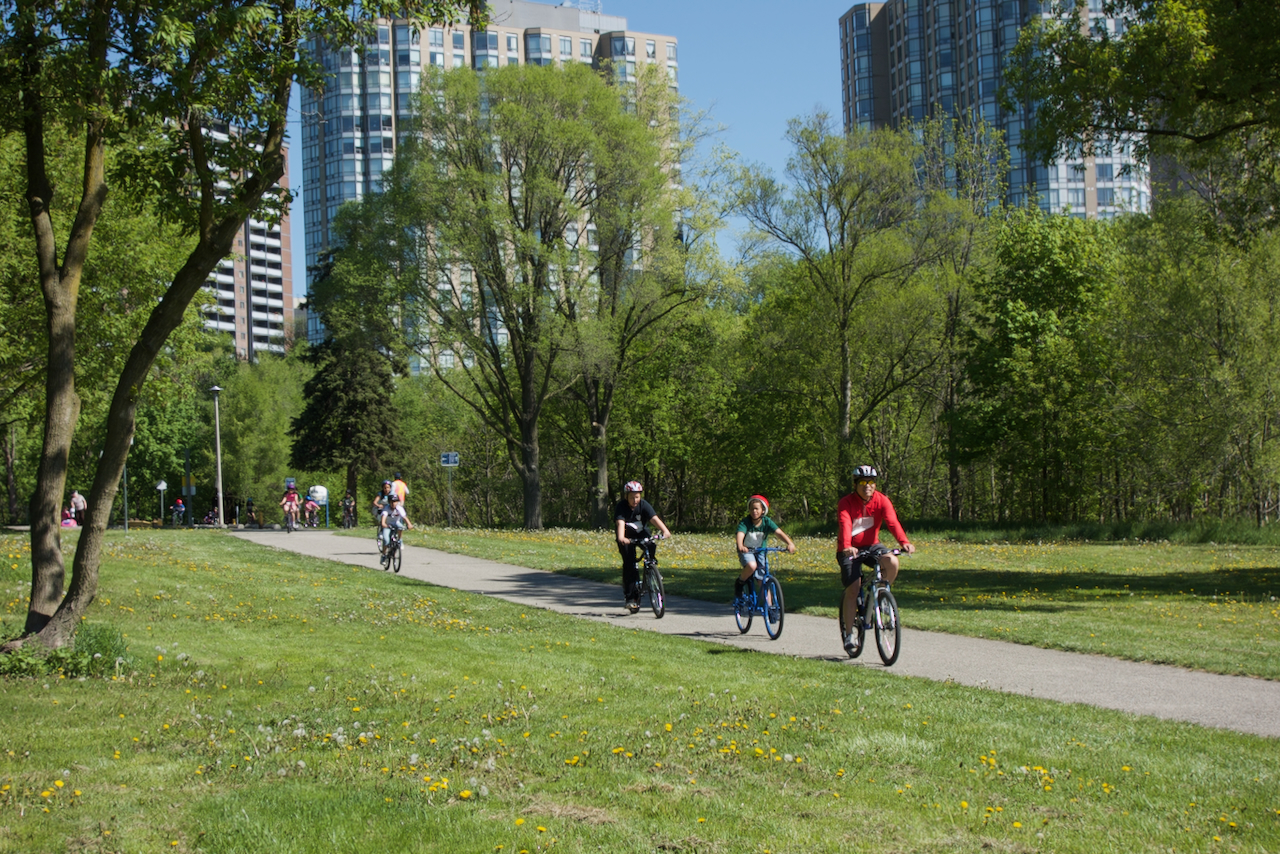
6. Vehicles using the Humber Trail.

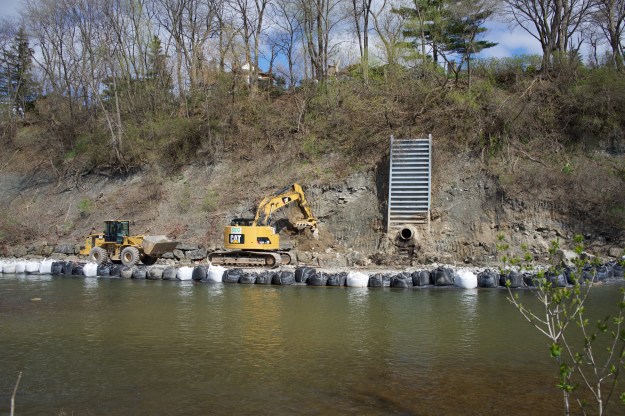
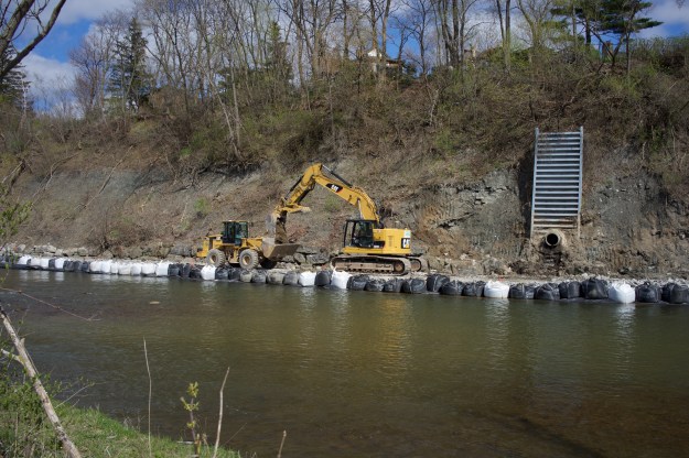
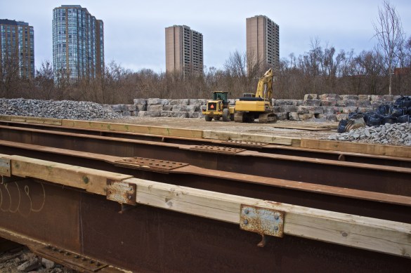
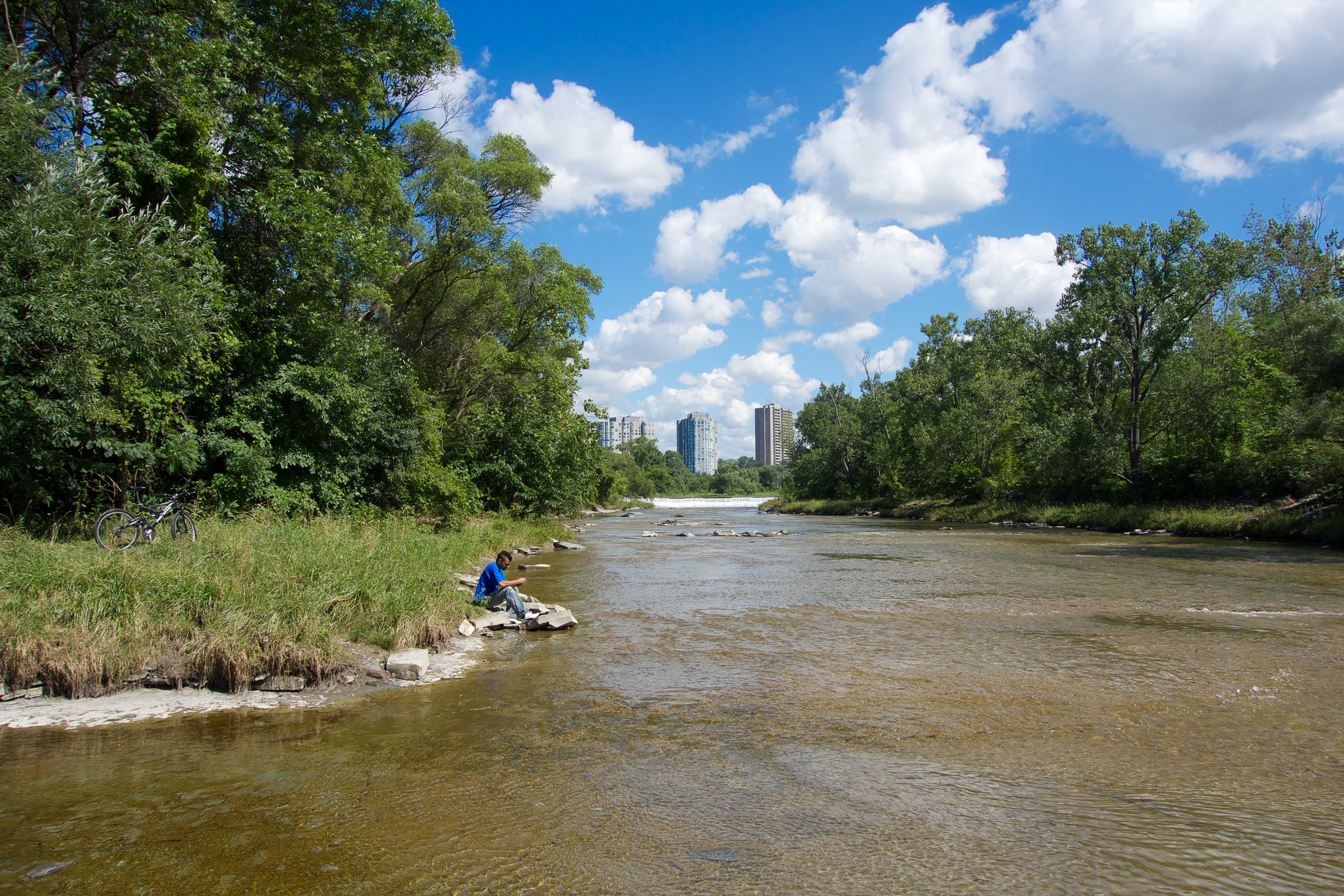
There’s a constant variety of vehicles using the Humber Trail through Raymore Park. The rules say no motorized vehicles and this is largely obeyed. There are occasions when police fire or ambulance crews have to bring vehicles down the trail to assist someone in difficulties but generally the worst offenders are noisy, gas powered mini bikes. In recent years, a variety of battery-powered devices have become more common. When the Humber Trail closes the ‘Weston Gap‘ it will be possible to cycle from Lake Ontario to Humber College on quiet streets or a dedicated trail. This will be great for cyclists but will increase traffic on the trail which at the moment ends in a huge set of steps in Weston.
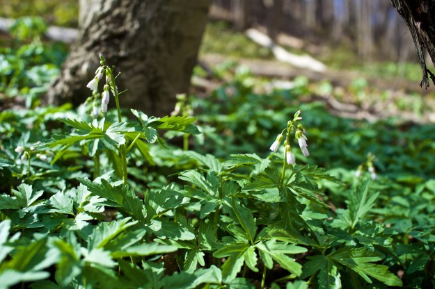
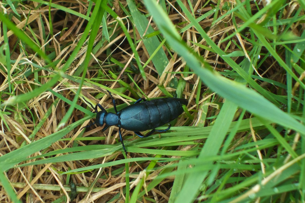
The trail ends at Weston and St Phillips and continues after a dangerous trip north along Weston Road.
A teacher leads a class trip southwards on the Humber Trail through Raymore Park in May 2013.

7. Wildlife

A groundhog feasts on Raymore Park’s dandelions in April 2010.

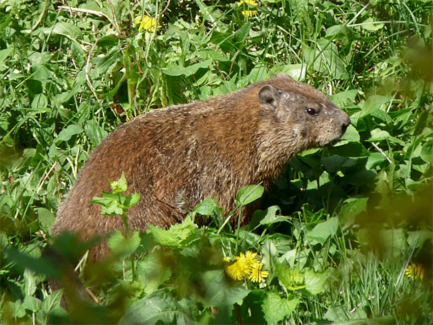
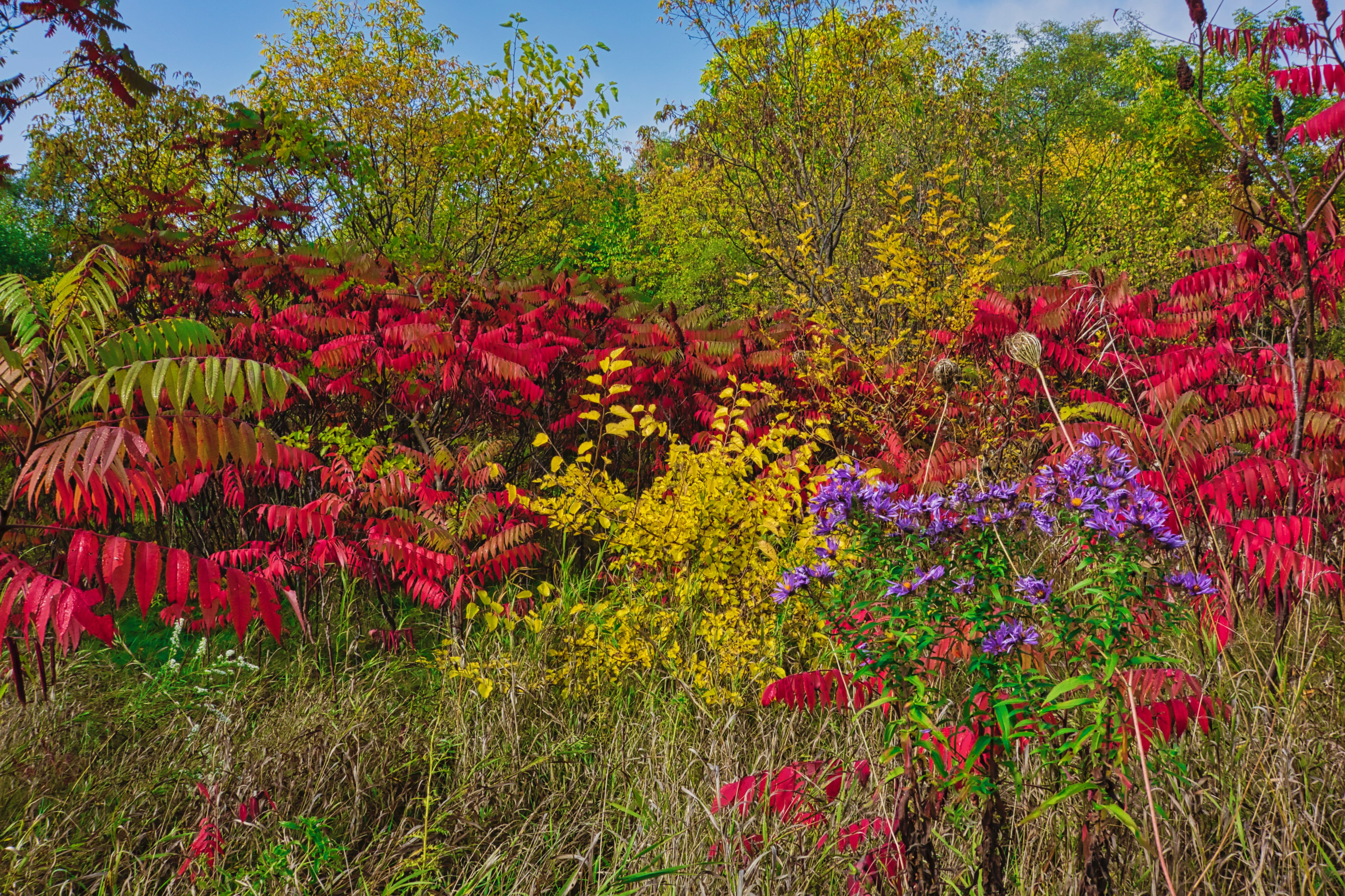
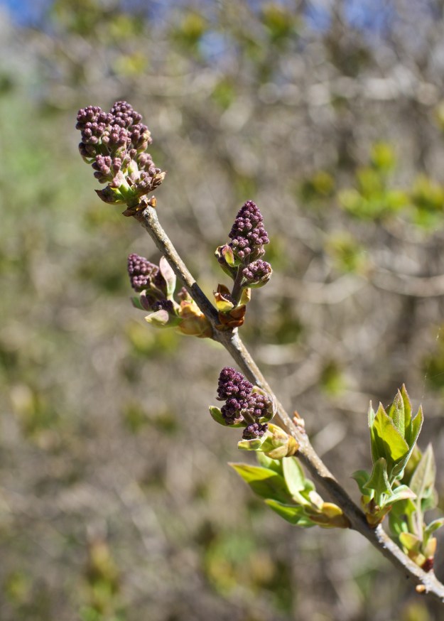
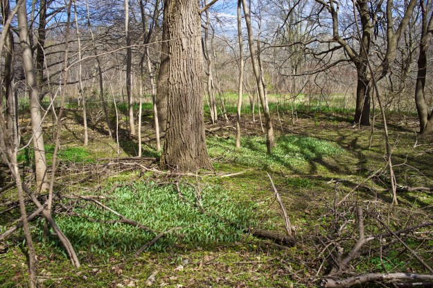
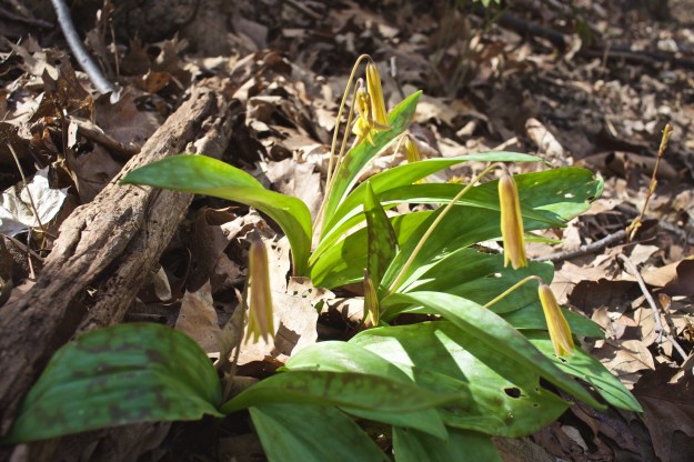
Wildlife in the park has a constant battle with other species in order to survive and retain habitat. Add the pressures of an urban park and life can become even more difficult. Threats to wildlife can come in the form of non-native species, off-leash dogs, over-zealous mowing of grass and human incursions into the undergrowth.

An American oil beetle has an amazing life cycle. From 2013.

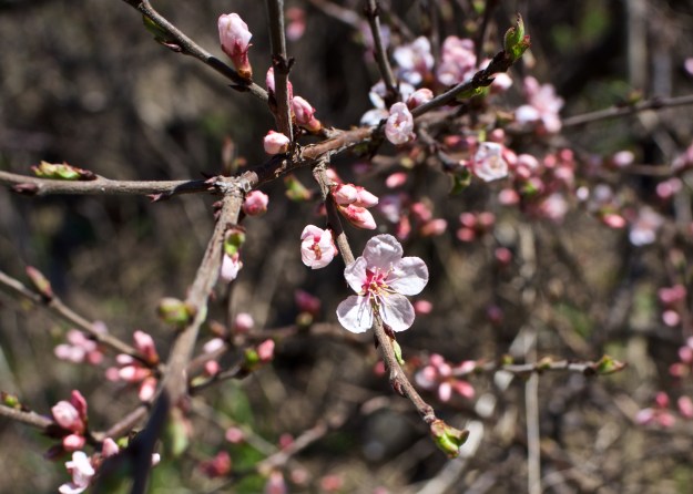
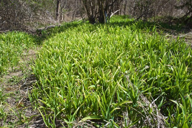
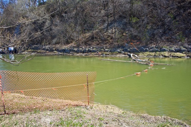
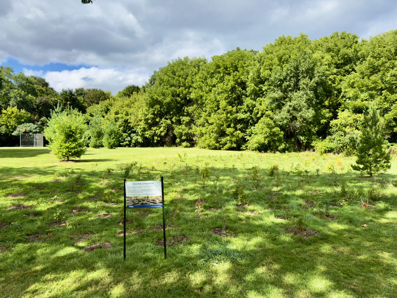
Over the years, areas being mowed are smaller as the city, TRCA and and volunteers have added native plants to create more undergrowth where wildlife can thrive.

The Humber River Citizens’ Alliance and the City of Toronto held a planting day in June 2023.

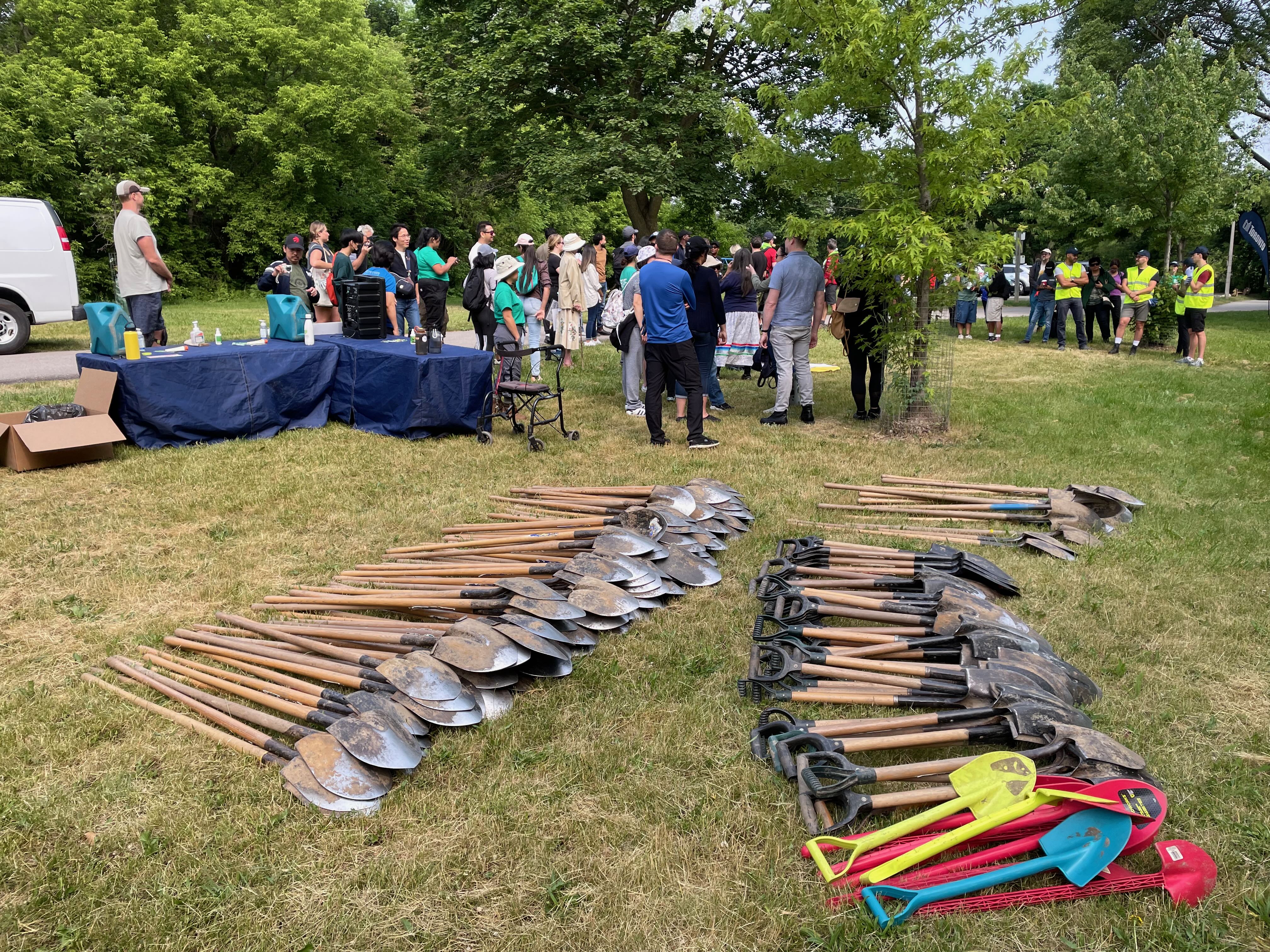
The latest planting came in June near the largely unused baseball diamond and despite some prolonged dry spells, the plants are doing well. Essential wildlife corridors are slowly being formed.

The new naturalized area in late August 2025.

8. A Private School is using the Park.

For the last few years, a private elementary school has been operating out of a home on Tilden and more recently from the Weston Gospel Chapel at 59 Kingdom. The school makes extensive weekday use of the park in lengthy, seemingly unstructured sessions, often on the swings and slide. This extra noise and foot traffic adds pressure on the park’s wildlife and reduces the tranquility that visitors might expect from a park.

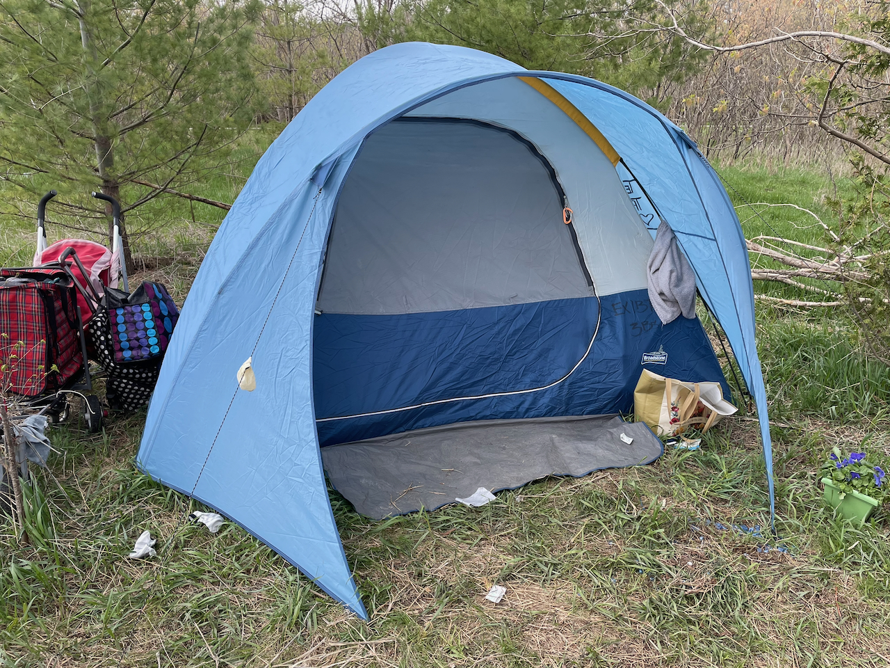
9. Homeless / Unhoused people.

In recent years, some people have set up tents in the middle of the ‘wild area’ and have lived there for weeks at a time. The city doesn’t move them on but does wellness checks and tries to persuade them to go to a shelter. When they move out, the city does its best to clean up the site. Currently there are no people living in Raymore Park. Here are Toronto’s protocols for homeless / unhoused people.

An encampment in the wild area in April 2023.

Part 4 coming soon.

Parks are for everyone.

Most Toronto parks on a weekend are filled with people enjoying themselves. To paraphrase an old saying, Parks are the lungs of the city and a natural setting with trees and grass provides cleaner and fresher air along with a chance to relax.

There are parks that are ideal for picnics while others provide tranquility and a natural setting. Some Toronto parks have bathrooms and built in barbecue stands while others, like Raymore Park are more natural.

Glorious fall colours in Raymore Park’s wild area (October 2013).

Raymore Park is quite large and there are areas where you can throw a ball, walk the dog, have a picnic or just sit on one of the many benches and contemplate. Watching the water going over the weir is mesmerizing and the negative ions created by falling water are said to be therapeutic. If you like shade, there are lots of trees – just be careful not to feed the summer mosquitoes! There’s even a rudimentary baseball diamond tucked away north of the dog off-leash area. We don’t have flower beds or seasonal plantings but we have a large variety of flora and fauna.

Geese enjoying the weir in September 2022.

In nearby Lions Park, people like to set up in groups and barbecue on warm weekends. They bring chairs and tables, awnings and coolers and relax by the river. Walking or cycling past these groups is a treat for the nose and if your hunger is stimulated, there’s an increasing number of fast (and slow) food locations a five-minute walk away on Weston Road.

Who are the people using parks? Every age group, athletic level and ethnicity are represented in Toronto’s green spaces and ravines; people looking for exercise, a meal or a relaxing stroll. There are no barriers or fees, everyone is welcome and people become more relaxed when they arrive. If you want to strike up a conversation, talk to a dog owner about their dog – or better yet, borrow a dog and walk it in the park (on leash of course). Dogs are instant ice-breakers. There are many volunteer organizations that help clean our parks after a long winter (locally it’s Humber River Pals) and get rid of accumulated litter while others look for invasive plants and remove them. Garlic mustard is a frequent target for those wanting some springtime greens and provide breathing room for native plants.

Raymore’s wooded area in October 2021.

It is possible to cycle from Raymore Park down to Lake Ontario with very few diversions onto side streets. The trail loosely follows the Humber to it’s mouth on the lake. Cycling through several parks on the way down to the lake reveals the variety of beautiful parks along the Humber.

So what’s stopping you? Get out and enjoy.

Some Questions Answered

Work has resumed on the retaining wall and the mystery of the rope stretched across the river has been solved.

It's a lifeline.

It’s a lifeline.

It’s simply something to hang onto if a worker slips into the water accidentally.

Another question answered is what they are going to do with the old retaining wall. Answer: remove it. This week the southerly end of the old wall is being removed and workers are digging  to the bedrock to make a secure foundation for the new blocks.

Digging down to the bedrock for a solid foundation.

Digging down to the bedrock for a solid foundation.

Material being removed from the foundation of the new retaining wall.

Material being removed from the foundation of the new retaining wall.

According to a worker on the site, the work was delayed while trout were spawning but TRCA has given the project the go-ahead and construction has re-started. Apparently when the original wall was constructed, the same company simply accessed the far bank directly and never had to take all the precautions expected of projects on the river nowadays.

Another interesting item; the new wall may not extend to the northernmost point planned as the landowner above that section of wall is worried that the removal of the old blocks and subsequent digging may trigger further landslides. Since the resident in question has riparian rights which go down to the water, they have the right to withdraw consent to construct that last section of wall.

The worker allowed that the project may take until October to complete.

Signs of spring

Winter is finally over – the signs are everywhere but interestingly, native plants are some of the last to leaf and bloom, possibly as a protection from our continental climate’s treacherous ability to produce late snowfalls and frosts.

Imports feel no such constraint. Alongside the old path that follows the curve of the river, some old exotic plants remain from the days when people had homes by the water. Many of these remnants of domestication are unnoticed but somehow they have survived and stand as a mute testament to the victims of Hurricane Hazel in 1954.

An exotic tiny blossom.

An exotic tiny blossom.

Day lilies carpet this fertile flood-prone corner of the park.

Day lilies carpet this fertile flood-prone corner of the park.

A lilac bush has begun to leaf and flower buds are set to bloom in a couple of weeks.

A lilac bush has begun to leaf and flower buds are set to bloom in a couple of weeks.

This pond was eroded out of the ground a few years ago as a result of an ice-jam temporarily diverting the river. It was promptly occupied by eastern American toads. No sign of the eggs or tadpoles yet.

This pond was carved out of the ground a few years ago as a result of an ice-jam temporarily diverting the river. It was promptly occupied by eastern American toads. No sign of this year’s eggs or tadpoles yet.

A carpet of toad lilies has sprung up in the woods south of the weir.

A carpet of toad lilies has sprung up in the woods south of the weir.

Toad lilies up close.

Toad lilies up close.

Toad lilies.

Cut leaved toothwort in the woods.

Work slows on Retaining Wall

The retaining wall base has been wrapped in plastic.

The retaining wall base has been wrapped in plastic.

Work has slowed considerably at the site because migrating steelheads (better known as rainbow trout) are spawning in the Humber and rather than disturb their progress up the river, TRCA has ordered a hiatus in work until they complete their spawning. This will depend on the water temperature and will delay the wall’s construction for a while.

More brush was removed from the site recently and the staging area has been expanded, possibly for additional storage space. Further down the river, a mysterious rope has been stretched across the river. The purpose of the rope remains to be determined.

The staging area has been expanded south to include this area.

The staging area has been expanded south to include this land.

Further down the river, a rope has been stretched across the Humber.

Further down the river, a rope has been stretched across the Humber.

The rope across the humber.

The rope across the Humber is beginning to catch driftwood.

Looking north to the temporary bridge.

Looking north to the temporary bridge.

Retaining Wall Update March 30

Another week has gone by and progress has been made in the form of the long awaited bridge. We are now at the point (end of March) where the work was estimated to have been completed. As I have pointed out before, this is a huge undertaking. The scale of the materials and work needed to upgrade this relatively short section of retaining wall is staggering. The hard part is gaining access a long way from any roads and from the opposite bank of the river.

Panoramic shot of the bridge abutments.

A panoramic shot of the bridge abutments. The bags of gravel are to help protect the near abutment from the strong spring current.


The bridge with decking newly installed.

The bridge with decking newly installed. According to the orange paint, the capacity of the bridge is 27,000 lbs. I’m surprised they are still working in pounds.


Looking across the bridge.

A view of the bridge deck and western abutment. On the far bank, a distinct geological layer change can be seen, about a third of the way from the top. The lower grey shale layer is from the time Weston was covered by a tropical sea.

A view of the bridge from the south.

A view of the bridge from the south.

This is literally a ‘bridge to nowhere’ as the span is there to provide access to the opposite bank for the crane rather than to cross the river. Now the actual work of building the retaining wall can begin. It will be interesting to see how they go about removing the existing wall while stabilizing the slope.

Retaining Wall Update March 23

Materials are still being amassed on the staging area and while it looks as if the blocks are all set to go, the bridge decking has arrived along with large amounts of limestone rubble and bagged gravel. Actual construction shouldn’t be long in coming.

Limestone rubble at the south end of the site.

Limestone rubble at the south end of the site.


Limestone rubble stored by the blocks at the north end of the site.

Limestone rubble stored by the blocks at the north end of the site.


Blocks with limestone rubble.

Blocks with limestone rubble behind the forklift.


Bags of gravel.

Bags of gravel.


Bags of gravel stored by the staging area entrance.

More bags of gravel stored by the staging area entrance.


Steel plates that will form the decking of the bridge.

Steel plates that will form the decking of the bridge.


Another view with the bridge decking in the foreground.

Another view of the site with the bridge decking in the foreground.

Retaining Wall Update March 16.

Work continues unabated at the site and the size and scope of the job is becoming apparent. More and more blocks are piling up in the staging area and the components for a temporary bridge that will straddle the river have arrived. The bridge will be placed across the river and support the crane that will build the retaining wall. Each block is labelled with its weight which is vital knowledge for the crane operator. The bridge will be re-positioned along the banks as required.

The project was originally scheduled for completion for the end of March but clearly there is still a massive task ahead.

Interestingly, the second photo was taken on February 29th and in the top right of the image can be seen the very small amount of ice pushed ashore during the thaw. This is the smallest amount of ice I have seen in years and quickly melted.

Blocks are piling up awaiting placement.

Blocks are piled up awaiting placement.


Each block is labelled with its weight.

Each block is labelled with its weight. Notice the small amount of ice freshly deposited as a result of the thaw.


The bridge.

Girders that will be used to make a bridge to straddle the river.


The bridge and blocks in the background.

The bridge girders and limestone blocks in the background.


The bridge platform.

What looks like the beginnings of an abutment on which the bridge will rest.

Jane’s Walk May 3rd at 5:30pm

Jane's Walk2014-GB

On Saturday, May 3rd, a ‘Jane’s Walk’ will feature the Humber between Lions Park and the weir in Raymore Park. The emphasis will be on Hurricane Hazel and its effects on the environment both natural and human. Some of the stops along the way will be:

Stop 1: Lawrence Avenue Bridge

The effects of Hurricane Hazel and its deluge of water on the bridge and surroundings.

Stop 2: Lion’s Park / Weston Fairground

Stop 3: Raymore Foot Bridge

The history of the footbridge that once existed at this point and its current successor.

Stop 4: Raymore Drive (across bridge)

The ground where 36 people lost their lives; the role of the old bridge. View traces of the settlement that was destroyed.

Stop 5: Raymore Park

The aftermath of Hazel and the organization set up to acquire and manage flood plain land.

Stop 6: Raymore Park dam

The fish ladder and migrating trout. The future of weirs along the Humber.

Stop 7: Chapman Valley Park / Humber Creek

The flooding that occurred at the top of this creek on July 8 2013, and the impact development has had on rivers across the city

Stop 8:

Urban river valleys, the Greenbelt, and the upcoming staff report and vote in city council to add the Humber, Don, and Etobicoke Creek to the Greenbelt.

  • Option 1: Retrace our steps along the Humber path,
  • Option 2: walk through the streets, past the wooden church at Scarlett and Kingdom, down Raymore Drive, crossing back over Raymore bridge and ending back up at Lion’s Park.

Walk Leaders:

Mary Louise Ashbourne (Weston Historical Society)
Gaspar Horvath (TRCA)
Roy Murray (Humber Watershed Alliance)
Shelley Petrie (Friends of the Greenbelt)
Michael Cook (Lost Rivers)

Meeting point: Car park at Lawrence Avenue and Little Avenue (Cruickshank Park) at 5:30pm.


A beautiful day in Raymore Park

We’re having a spell of mild weather and a refreshing change from the 27 degrees and humidity that we normally experience.

Today, Mugsey and I explored the river and came down to the Humber Creek. This gentleman had parked his bike and was checking his phone and it seemed like a good composition.

Forget about city life and sit by the water for awhile.

Forget about city life and sit by the water for awhile.