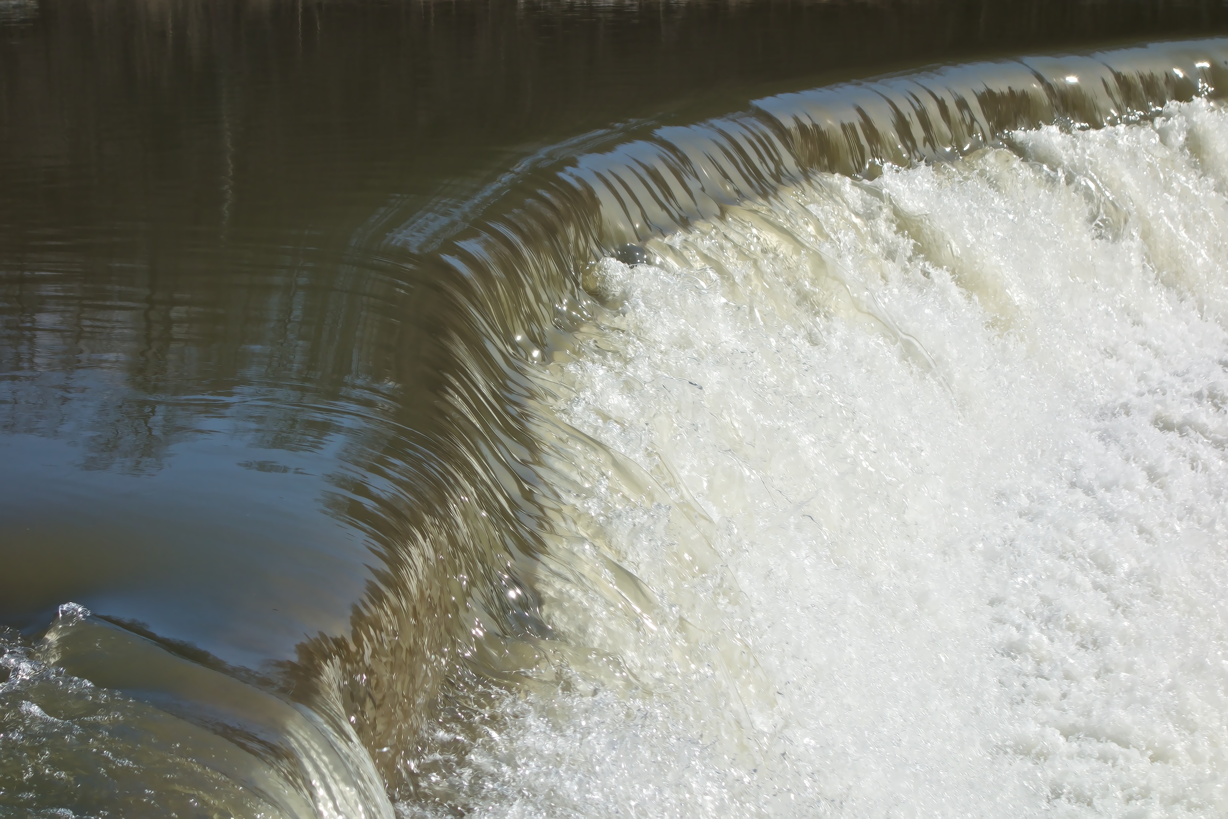
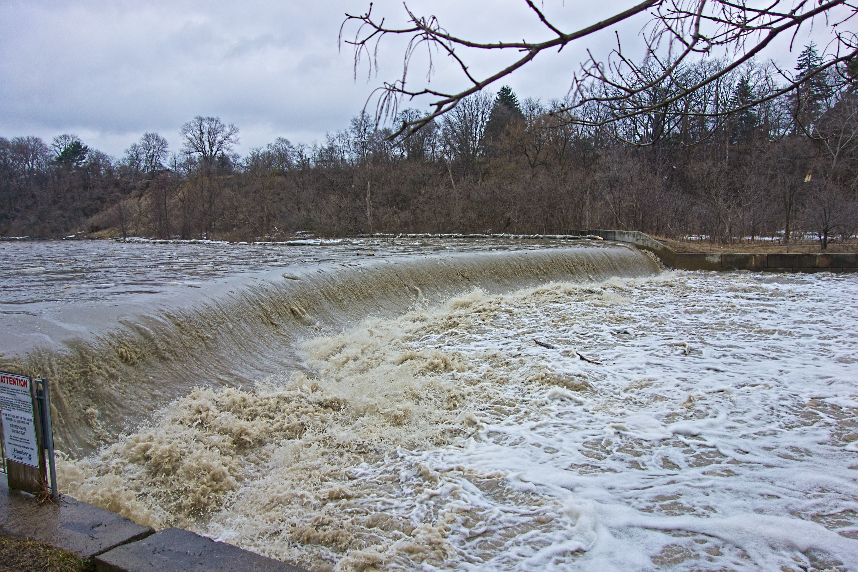
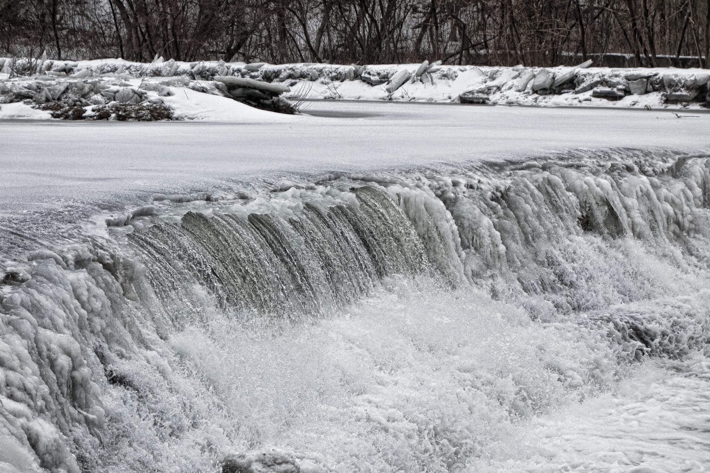
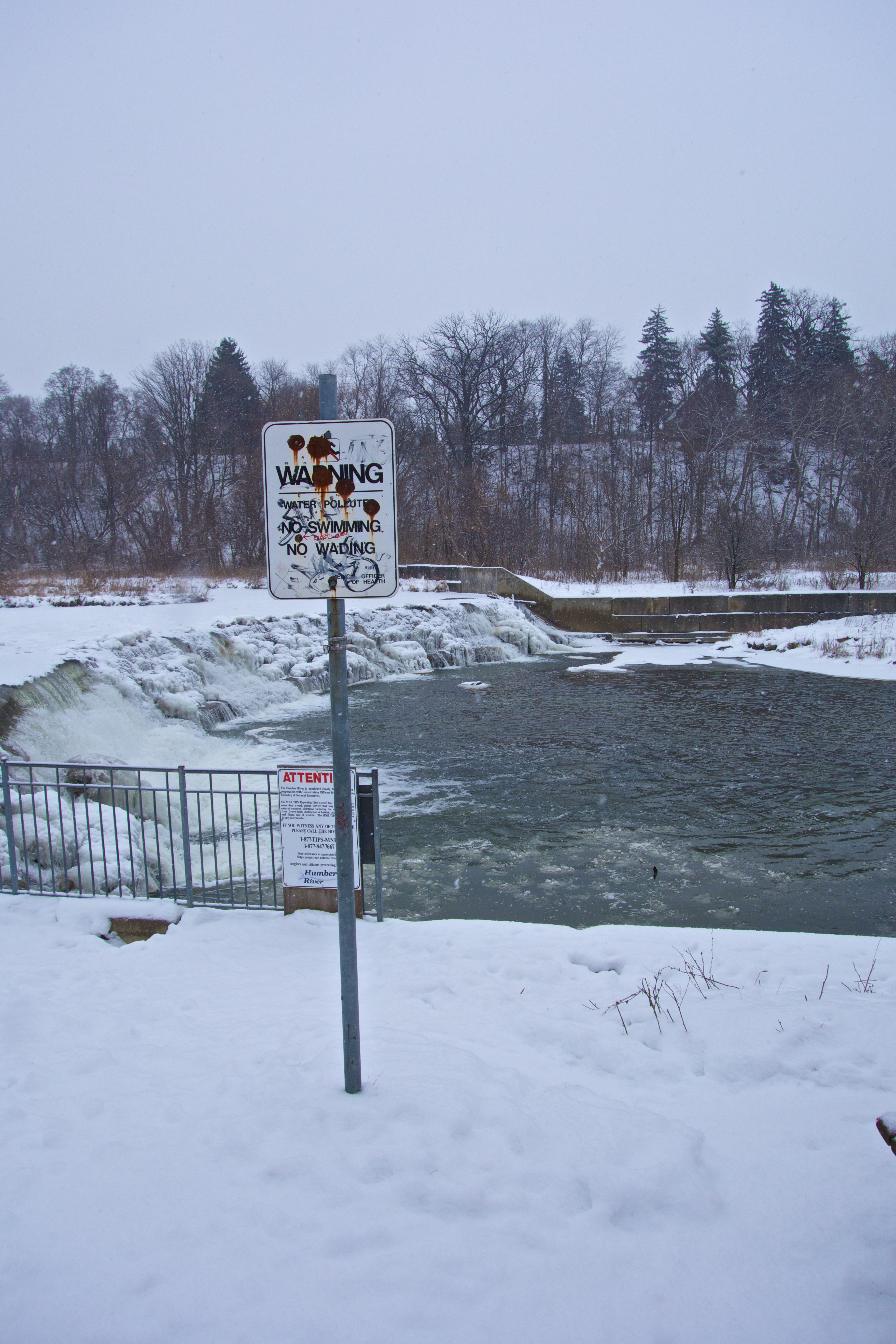
Frozen spray builds up on the steps of the dam. Can you see the sign to the left of the bench?
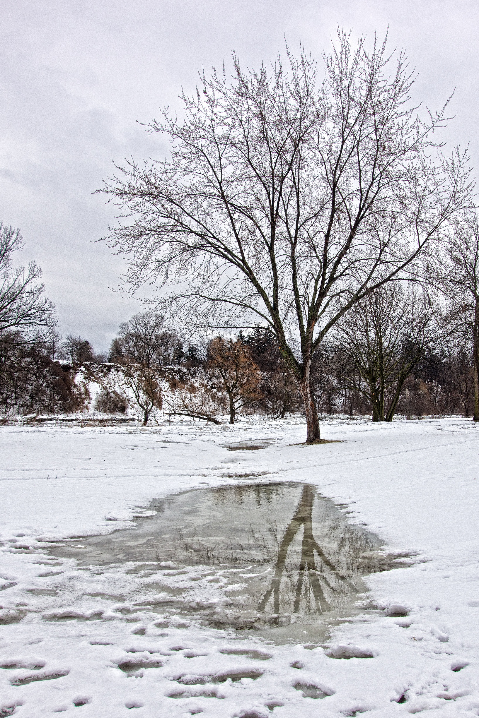
2013 01 03.
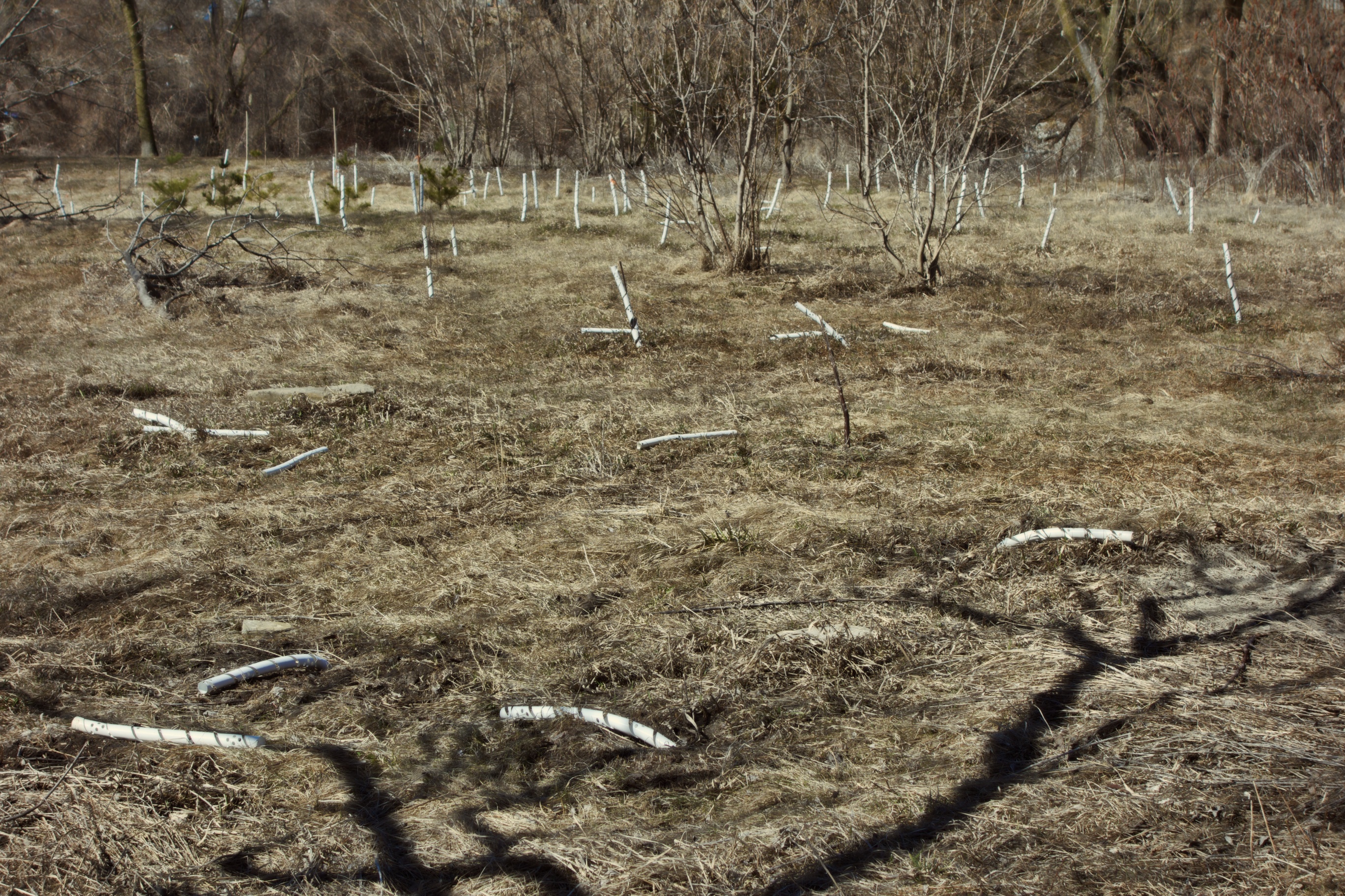
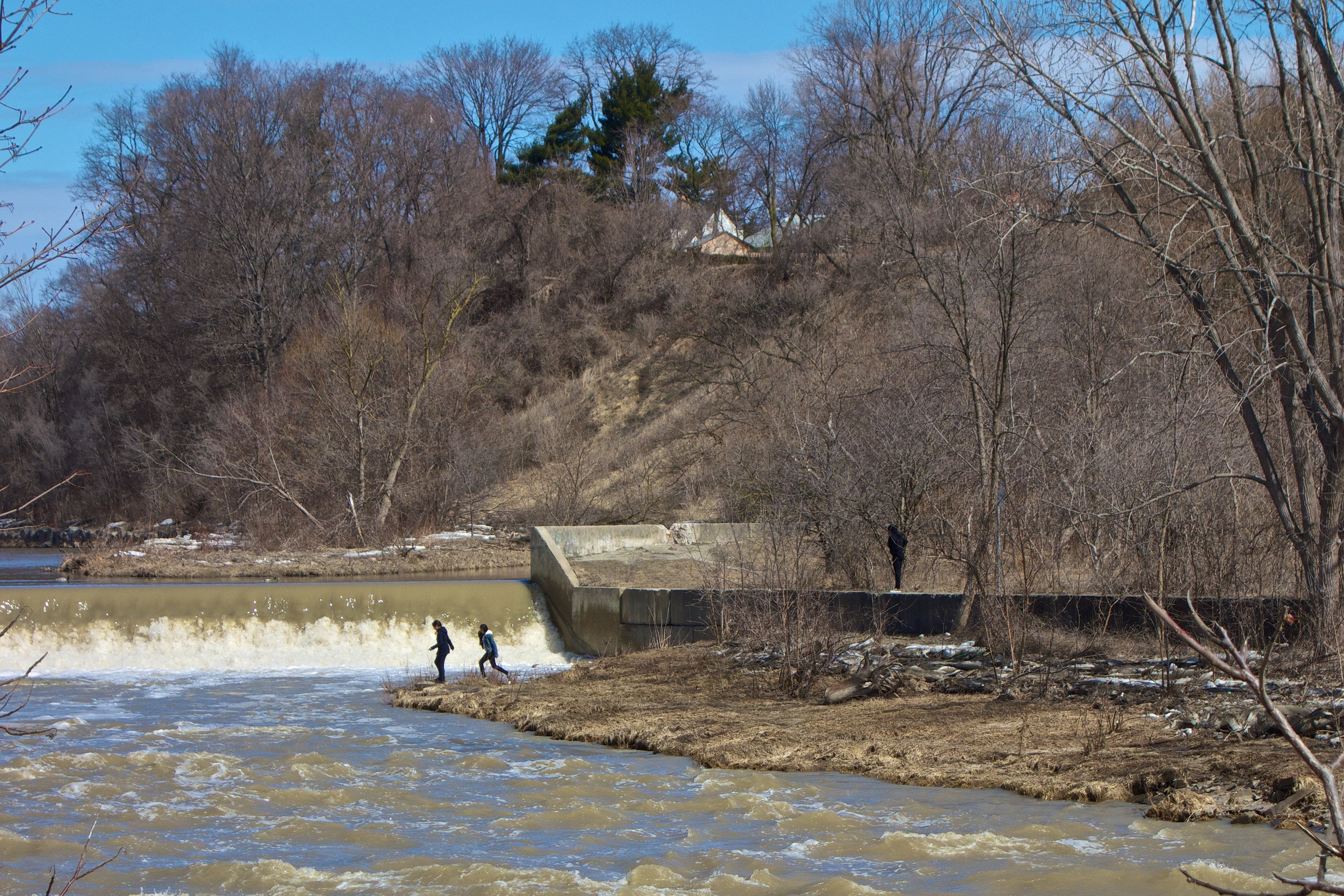
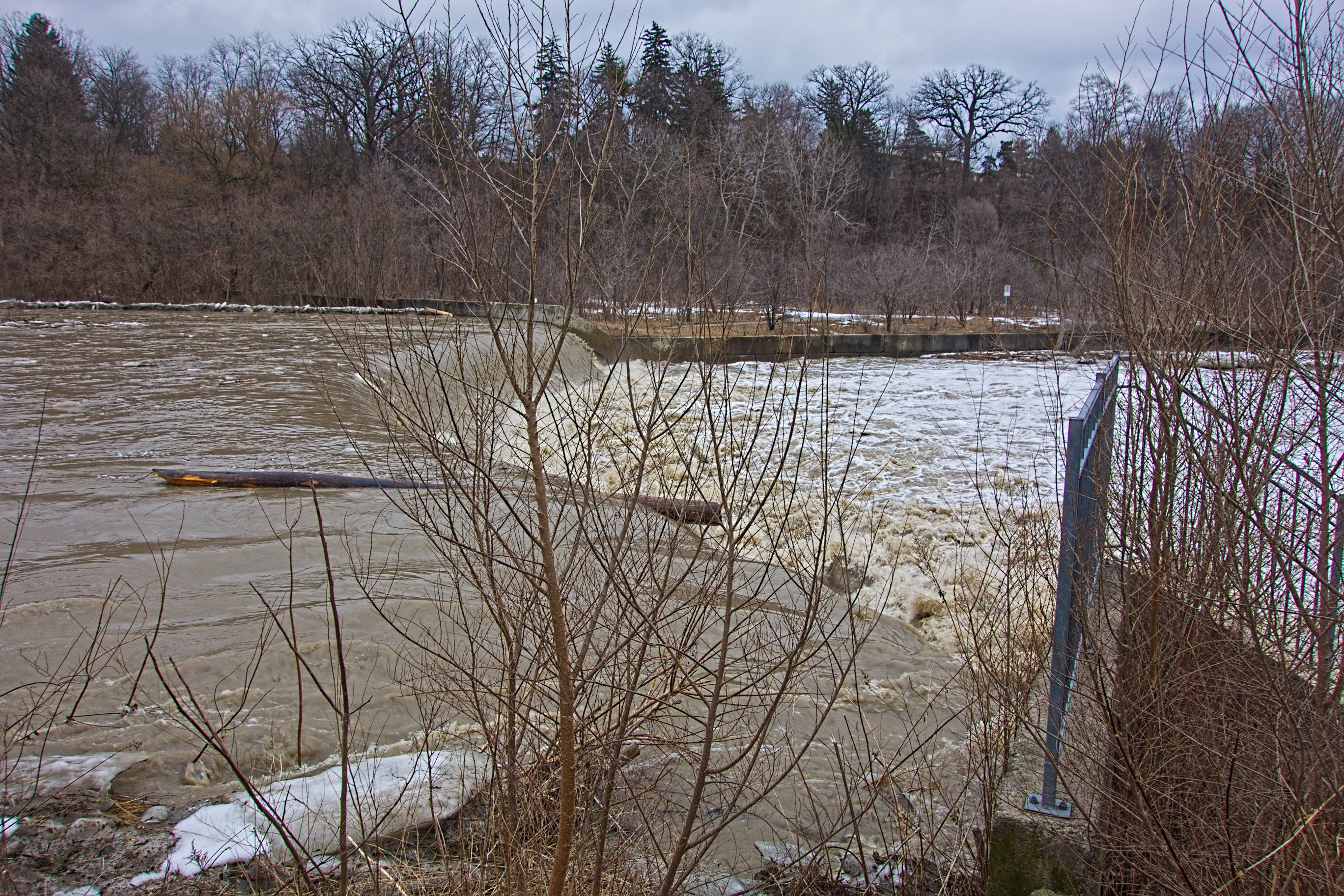
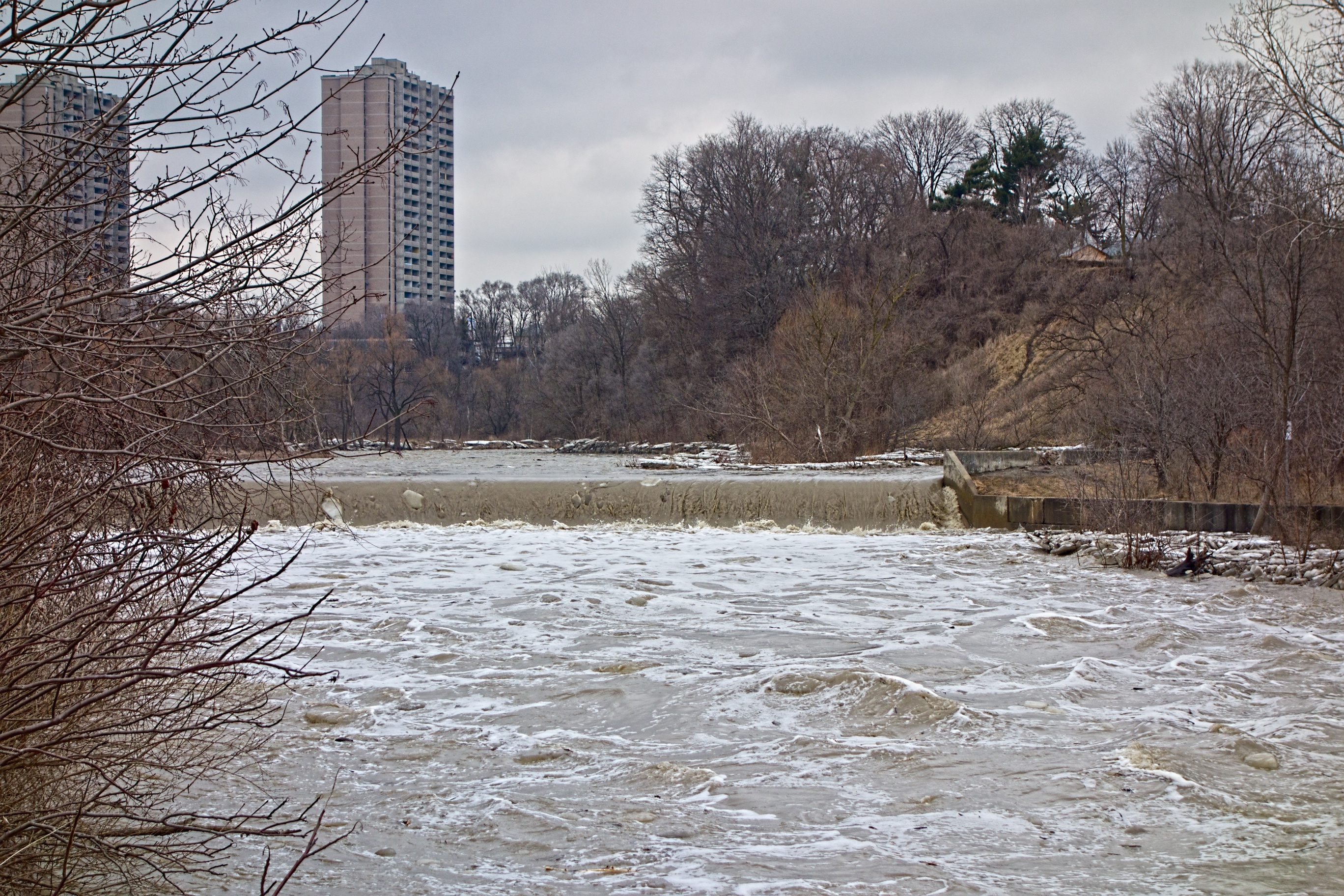
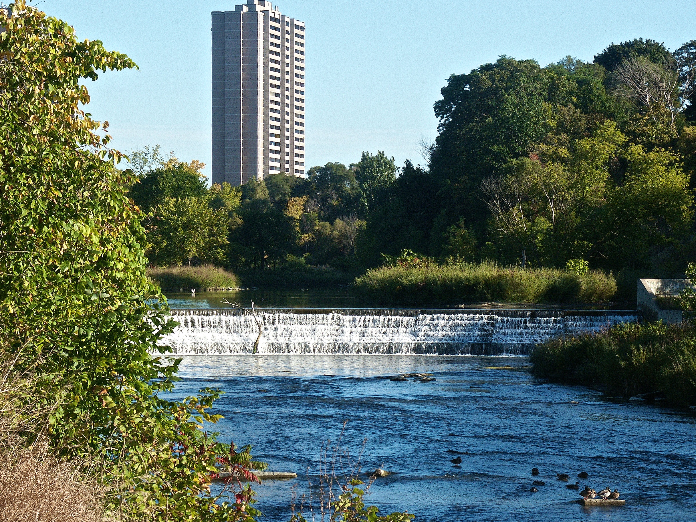
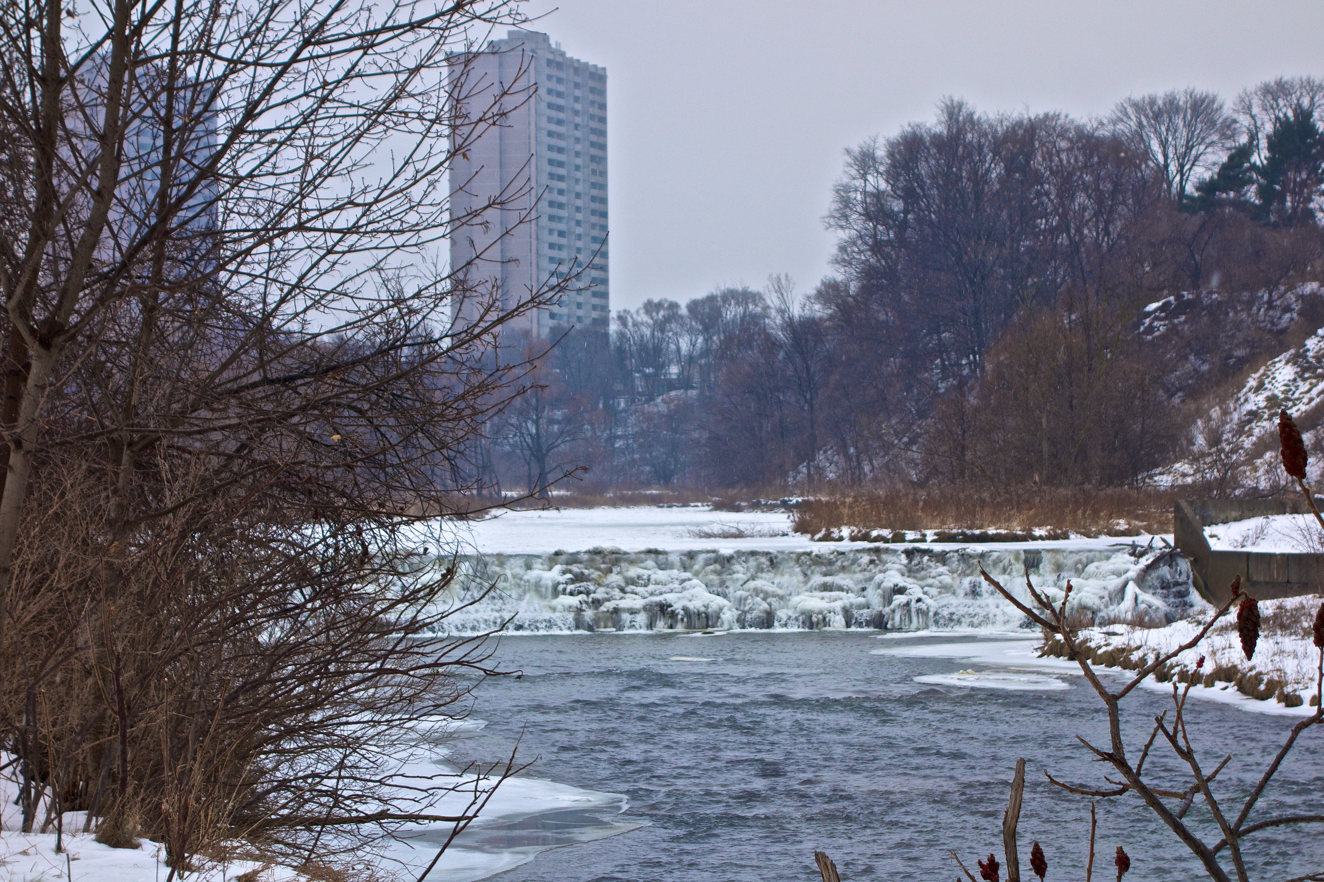
The dam in Raymore Park was one of several constructed after Hurricane Hazel in 1954. Designed to come into action during times of heavy rains, it’s purpose is to ease the pressure on downstream areas by flooding the nearby plain upstream. Unfortunately, this dam is so tall it blocks the passage of migrating fish. To solve this problem, a denil fishway (better known as a fish ladder) was constructed around 2000 at a cost of around $250,000. The idea is to allow migrating salmon and trout to climb this otherwise insurmountable barrier by building a series of easily managed concrete steps. Water flow is moderated using metal baffles at each step. The entrance to the fish ladder is on this side of the dam at the base of the falls and fish can be seen congregating there in spring and fall migrations (along with unscrupulous fishermen). The ladder was expensive and considerable ongoing maintenance is required before each migration to clear twigs and other debris placed there by opportunistic beavers. I always joke that it would have been cheaper to transport the fish by taxi.
The dam is a pretty sight in all seasons. However, just as people might think they are in some idyllic place – a nirvana in the city, the sign by the dam is designed to knock all that nonsense out of you.

How many bullet holes can you count?
In addition to informing us that the water is polluted, somebody has told us that the sign is riddled with bullet holes by helpfully pointing out one of them. In other words, if the pollution in this beauty spot doesn’t get you; a cap in your ass might. I wonder who’s doing the polluting or if this ancient sign is relevant any more? Obviously this sign has just faded into the background and park officials no longer see it.

This tourist moment is brought to you by…
That sounds like a job for me – phone the city and get it removed.