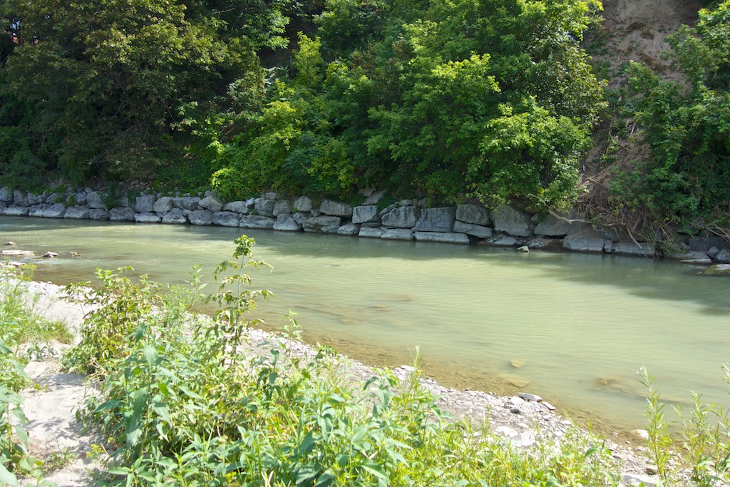
Two hundred years ago, Atlantic salmon along with many other varieties of fish were plentiful in the Humber. Gradually, settlers built dams and toxic waste from sewers, factories and pulp mills was dumped into the river. The combination killed just about everything in the water and Atlantic salmon were extirpated from the Humber as a result. In 1959, the opening of the St Lawrence Seaway saw the accidental introduction of the parasitic sea lamprey which killed the rest. An ambitious program lasting several years aims to restore a self-sustaining wild Atlantic salmon population to the Humber. Each spring until 2015, salmon fry are being released all along the Humber. Most weirs along the river have been adjusted to be too high for lamprey but low enough for migrating fish.
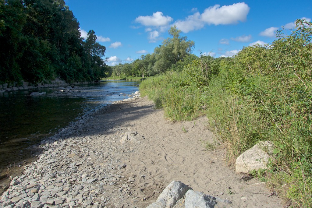
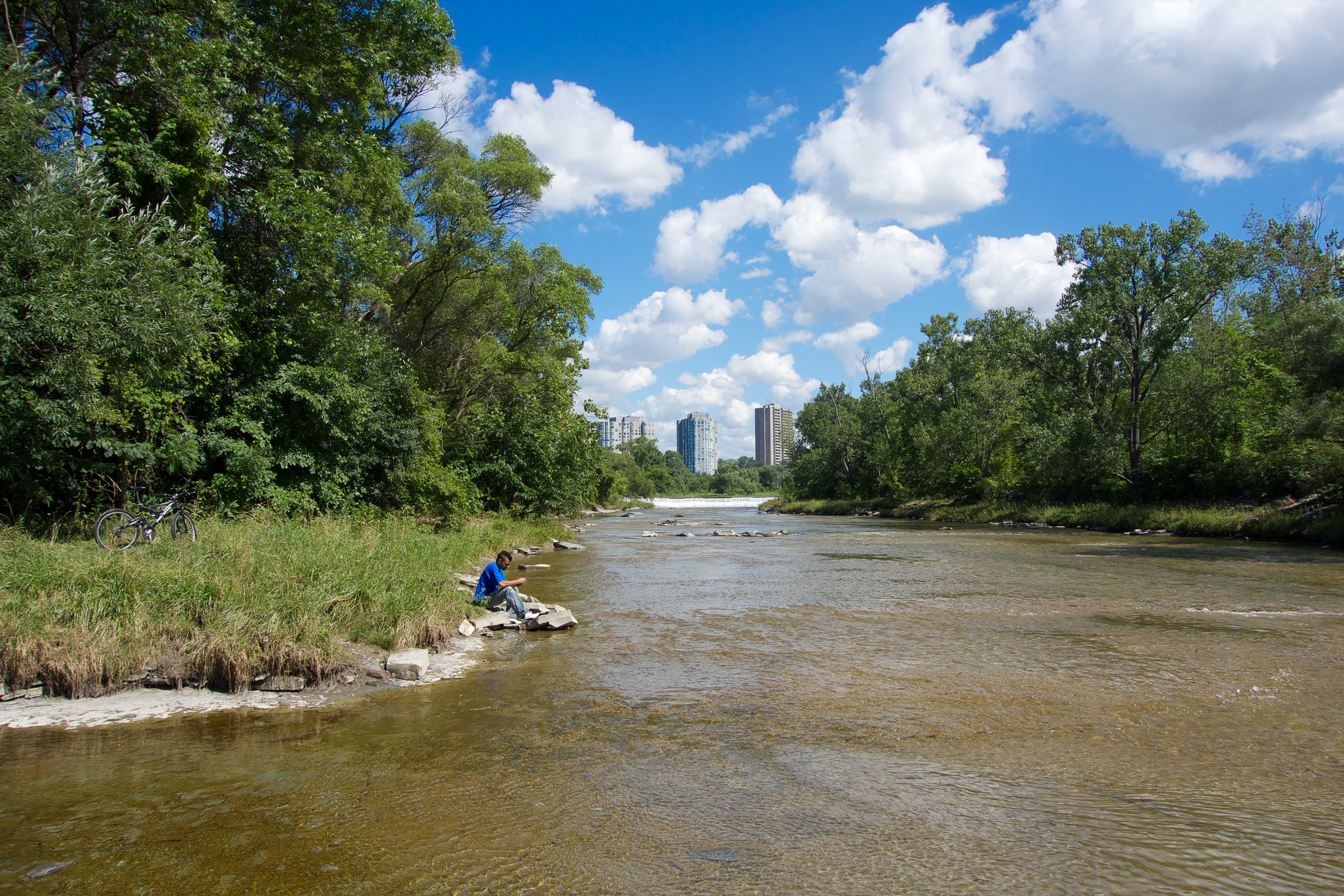
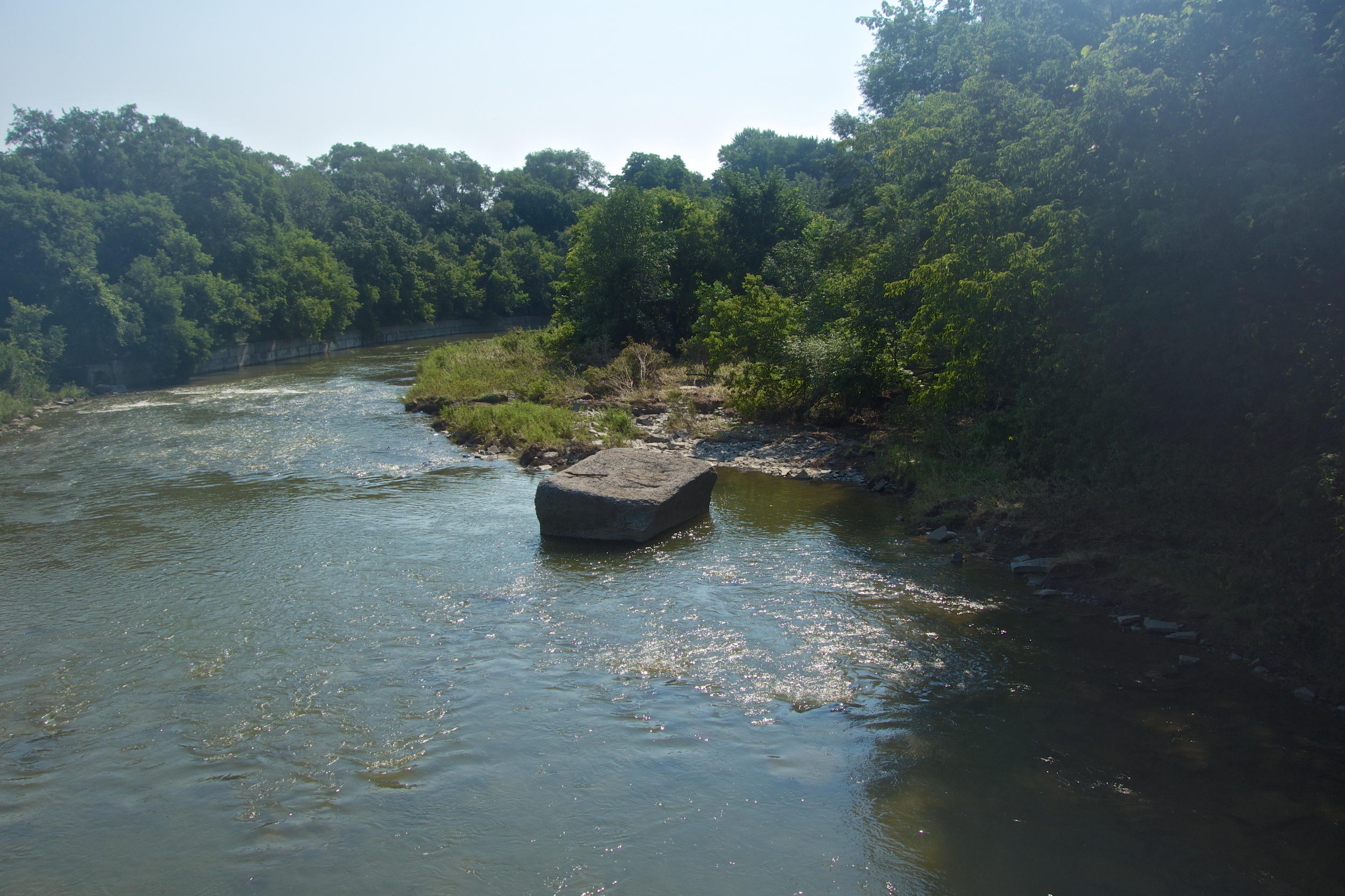
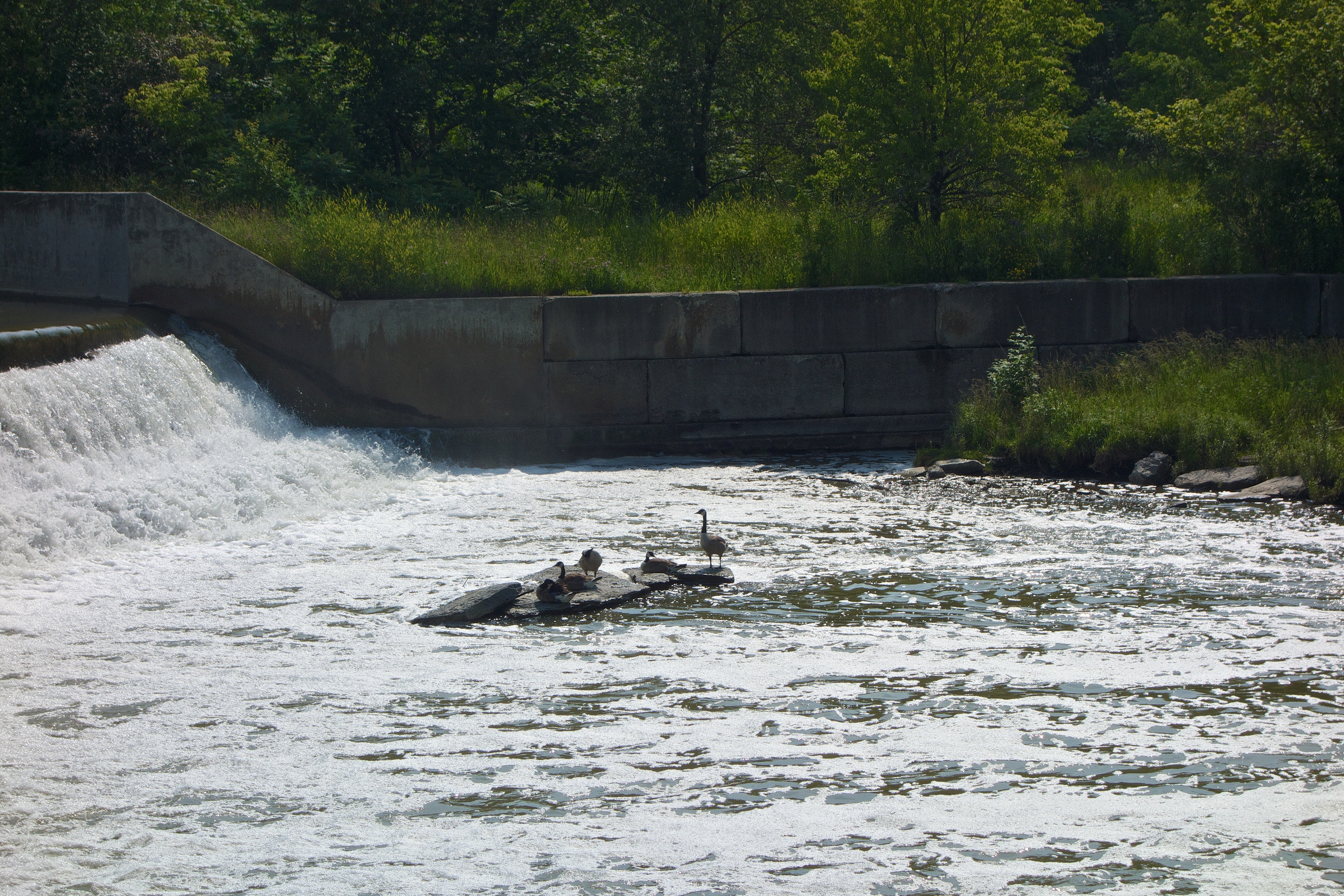
In Raymore Park, the 3 metre weir remains an insurmountable barrier to all aquatic life and to work around that, a denil fishway, (better known as a fish ladder) was built around 13 years ago.
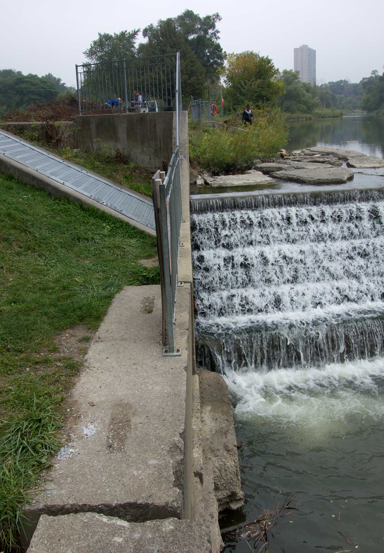
The fish ladder entrance is on the left just below the weir.
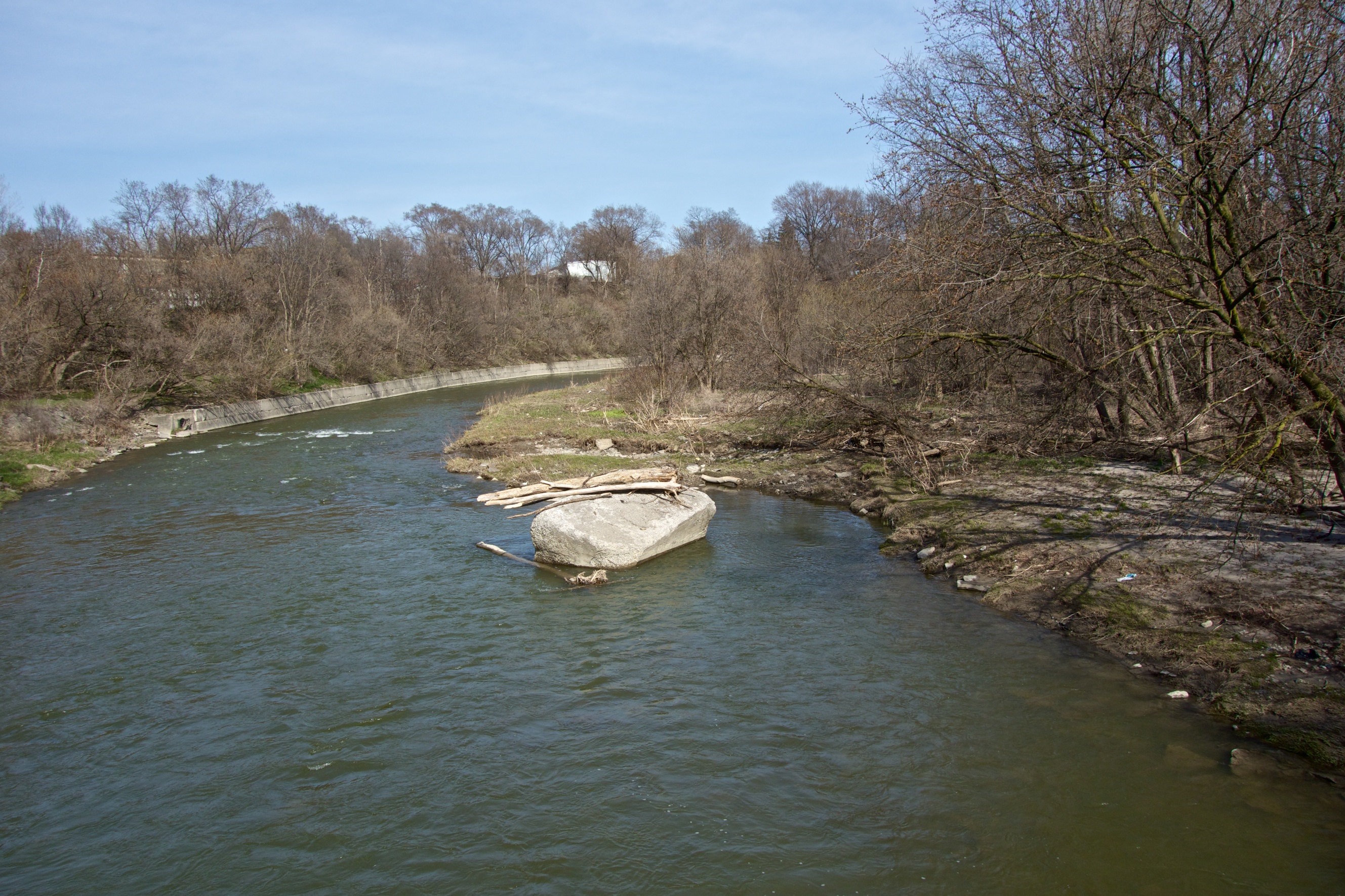
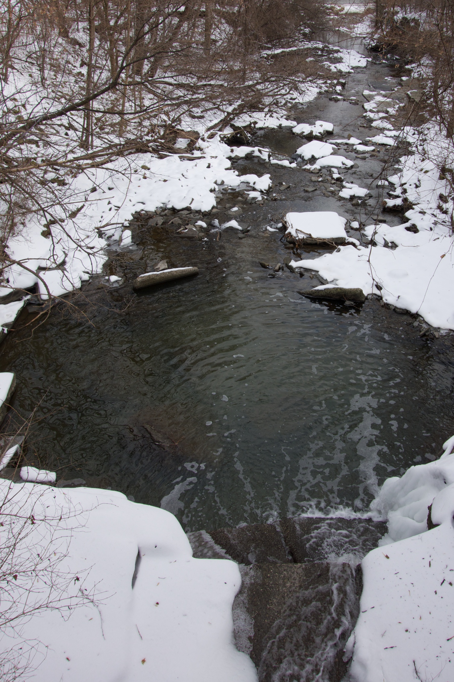
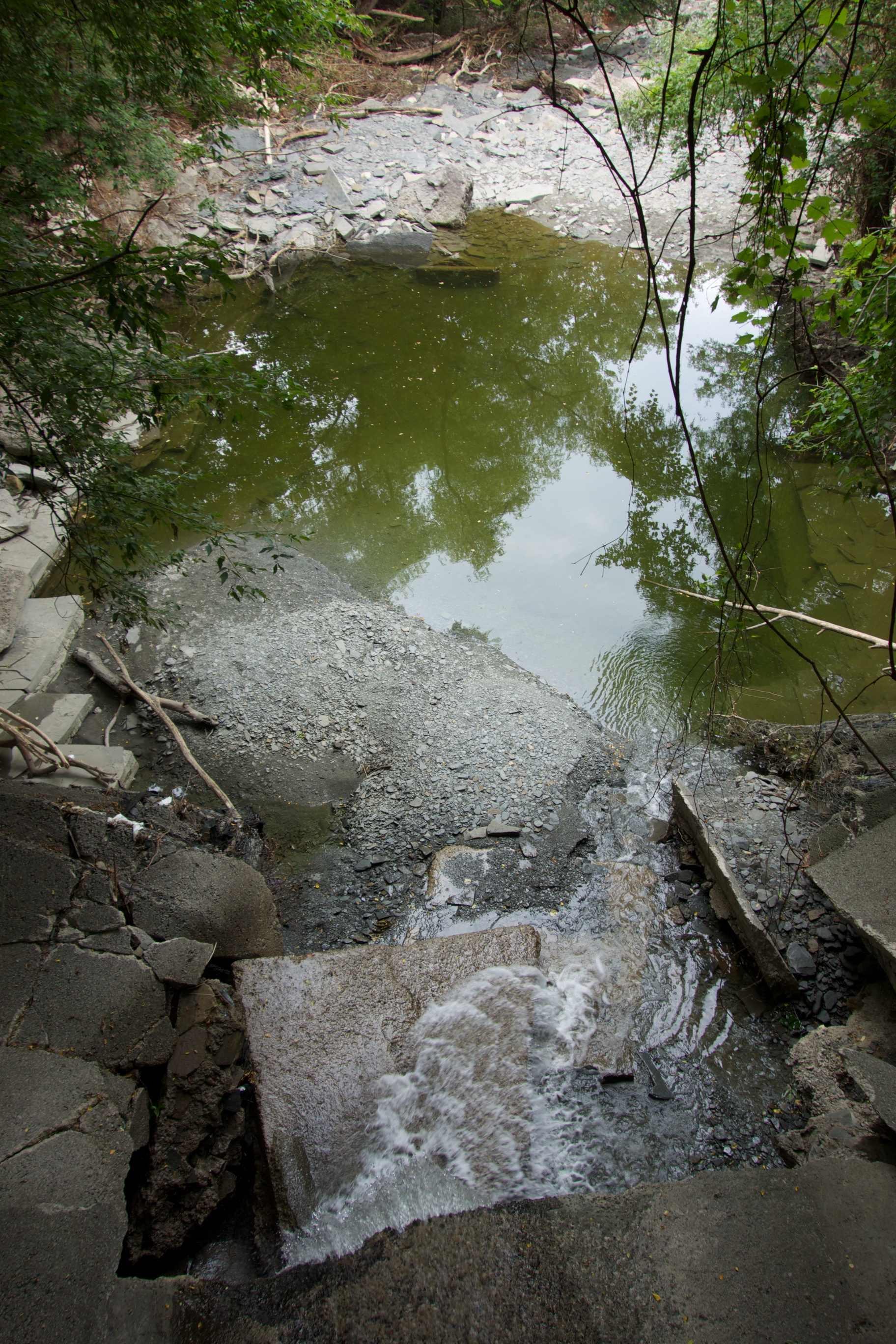
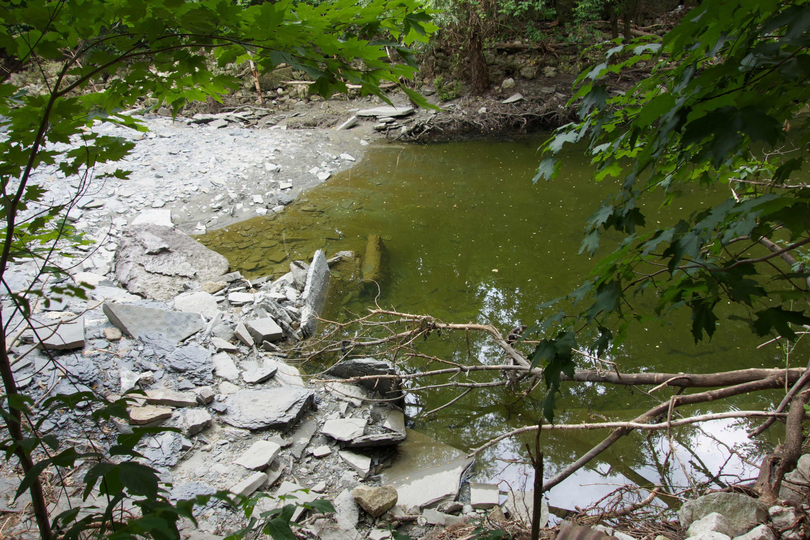
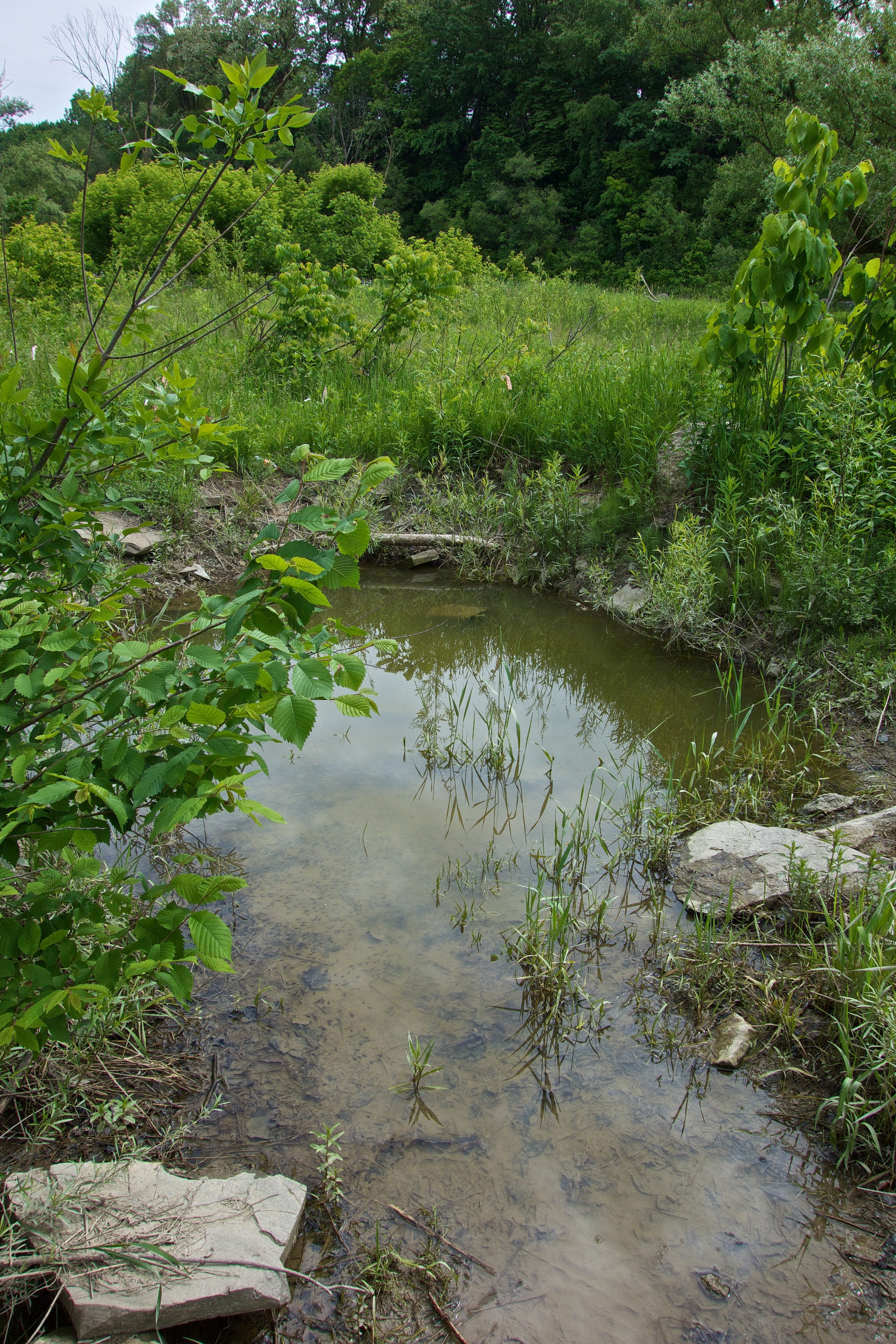
The fishway provides a gentler current and slope so that large fish can make their way up the ‘ladder’ with rest stops along the way. Unfortunately, beavers stuff the fishway with wooden debris in the hopes of creating a dam. Needless to say, the blockages need to be cleared several times a year so that fish can migrate to their spawning grounds.
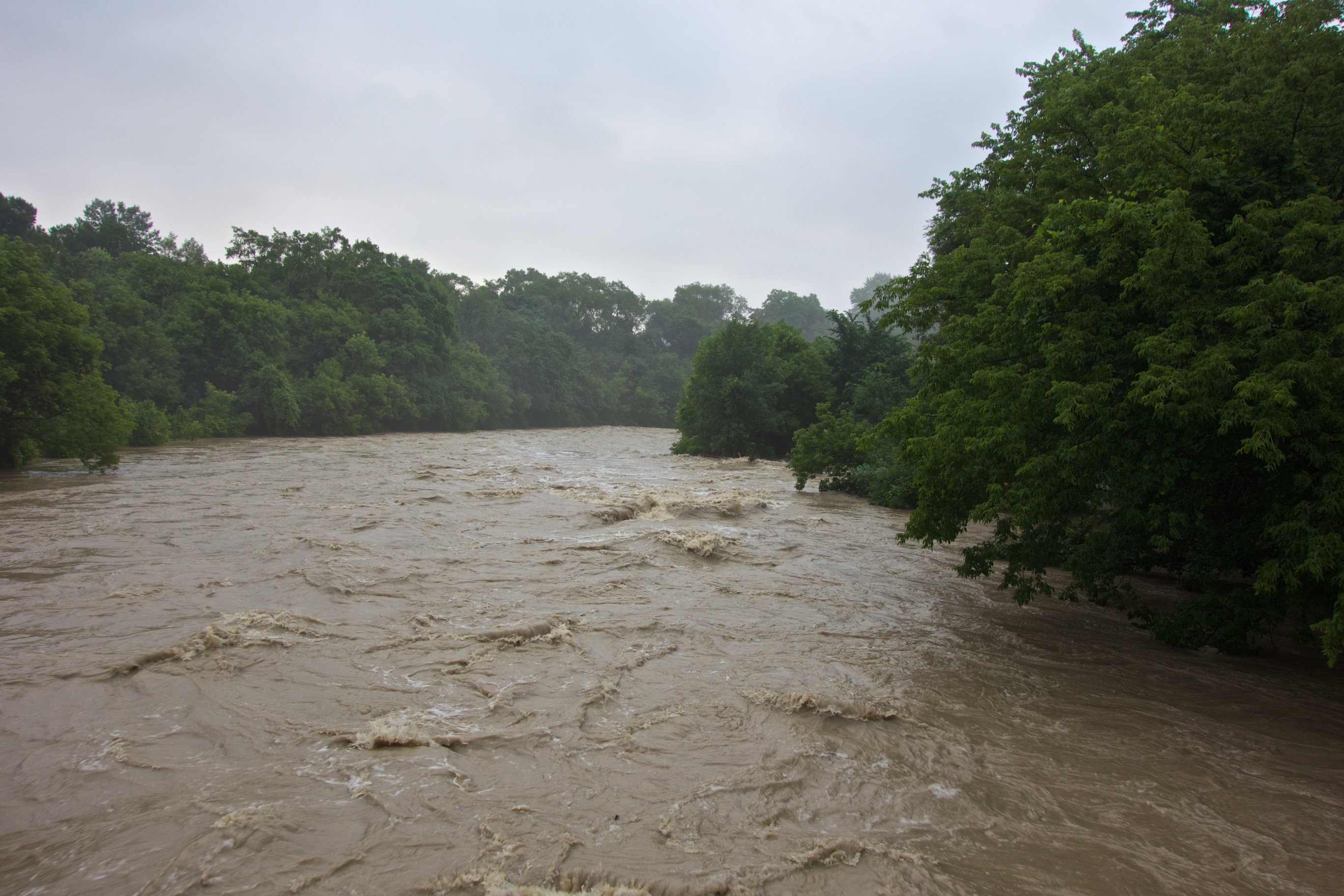
On Friday, two workers were clearing the way for the salmon and told me that when water levels rise (as they did on Saturday), these large Lake Ontario fish will be able to access and use the ladder. From there they will swim upstream to their birthplace, spawn and return to the lake – assuming they can run the gauntlet of people out to get them.
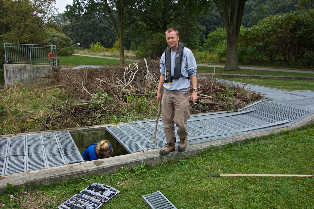
Toronto and Region Conservation Authority workers clear the top of the fishway.
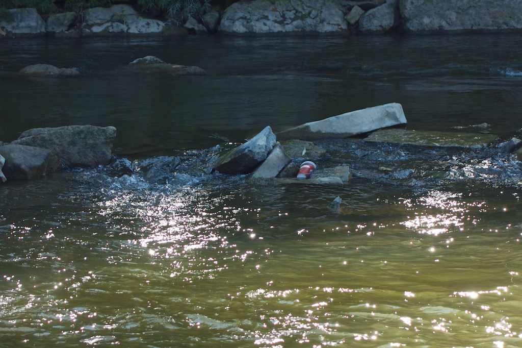
Since the ladder was built I have watched in vain for a fish to appear at the exit. Today, (Tuesday September 24th) I had a premonition and with the camera ready, just like that, a fish emerged. The water was a little murky and I was a little late but here’s the evidence; the ladder works.
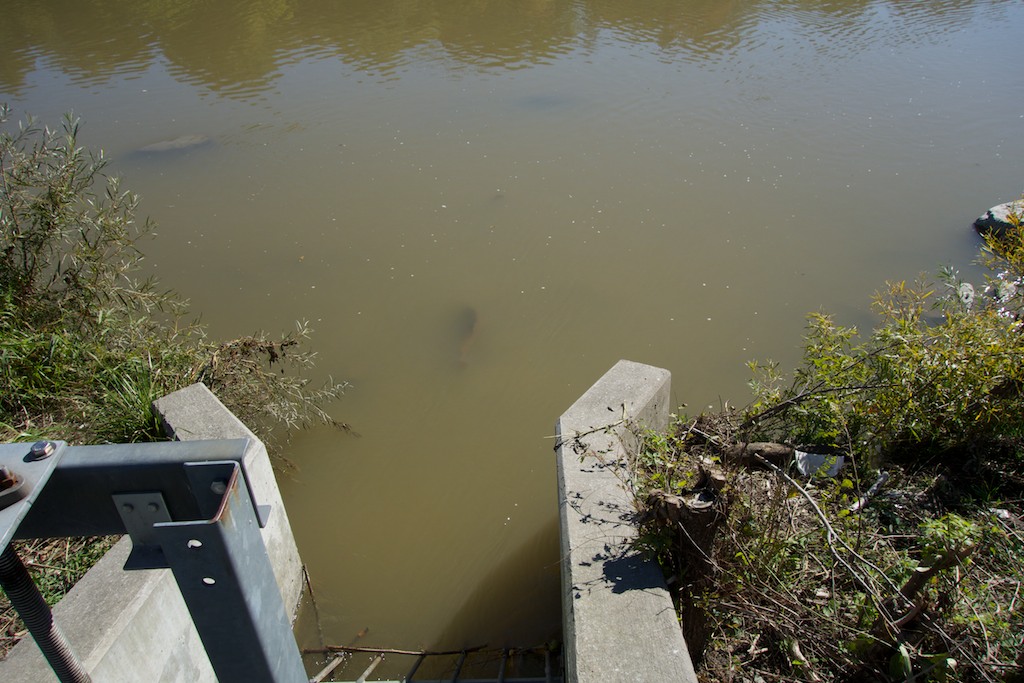
The salmon (middle top of photo) continues its journey up the river.
In spite of their impressive size, salmon will soon be seen along the Humber as far upstream as Bolton and Palgrave.
For its part, the TRCA is studying the further removal of obstacles to fish migration along the Humber and the weir in Raymore Park is the highest. Lowering and notching of the weir will allow the fish to leap upstream the old-fashioned and low-tech way. This will end the high maintenance costs of the fishway and finally allow the beavers to block it to their hearts’ content.