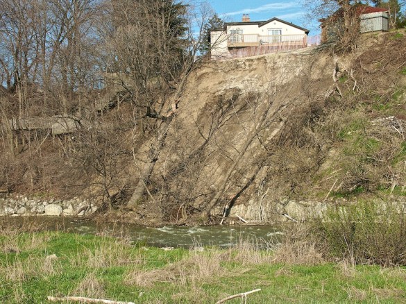
More than a decade ago, the owner of a house on Sykes Avenue in Weston suddenly lost several feet off the back end of their property. The house overlooks a sharp curve of the Humber River as it turns to the south. During April rains in 2004, the rear of the property abruptly vanished along with several mature trees and other vegetation. Luckily nobody was standing near the edge.
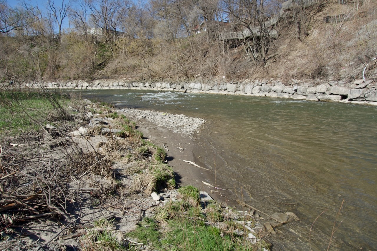
Shortly after the landslide in April 2004.
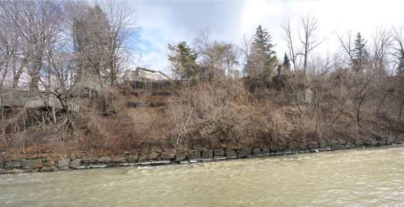
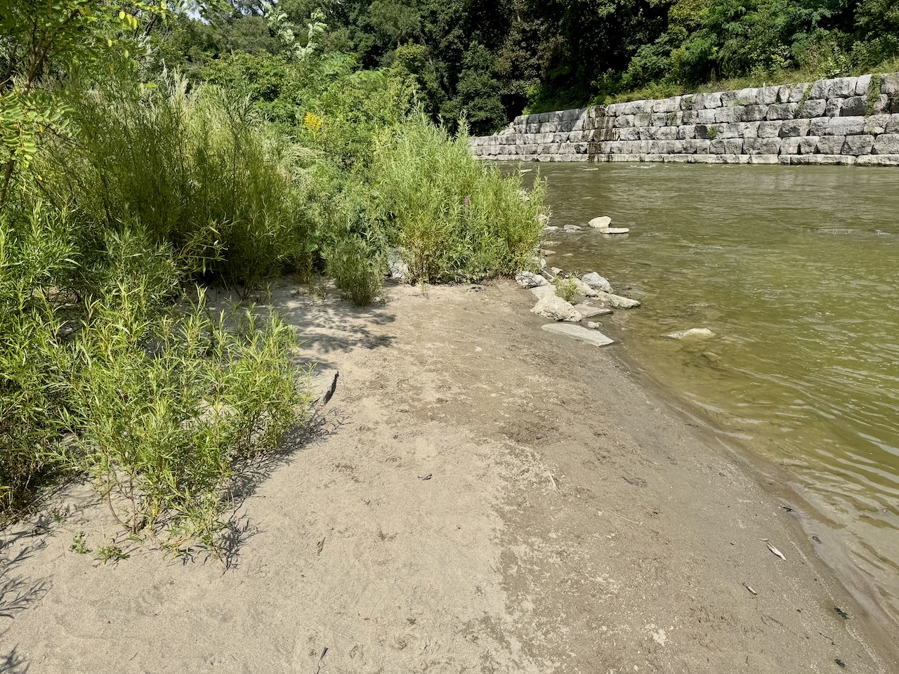
A panorama view of the bank as it looks today. Note the current retaining wall and the precarious position of the tree on the right.
That summer, the fallen trees actually went into leaf and remained in place for most of the season but were eventually washed down the Humber. What caused the erosion? Who knows; it probably didn’t help that each autumn, the owner at the time drained the pool over the top and into the river. The likely explanation is that the slope was simply too steep to withstand the shearing forces and nature adjusted the angle. TRCA is responsible for erosion control and has a handy guide for those ‘living on the edge’. It must have been painful to update the property deeds to reflect the new reality. After this event, the owner put in some vegetation and other stabilization measures but by then the rot had started and moved downstream taking chunks of other back yards into the river.
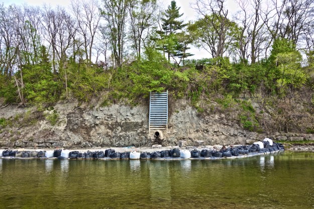
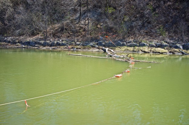
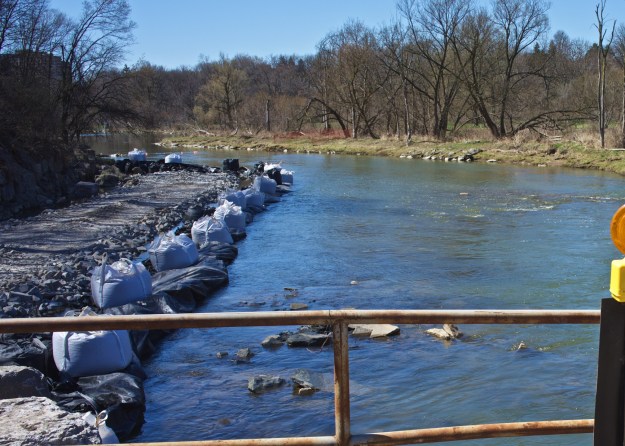
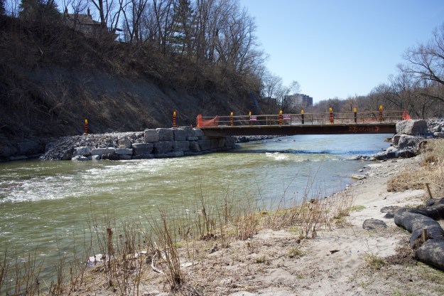
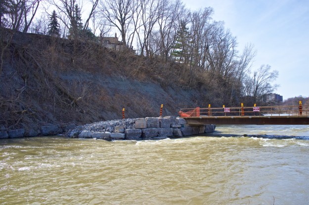
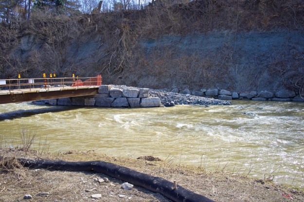
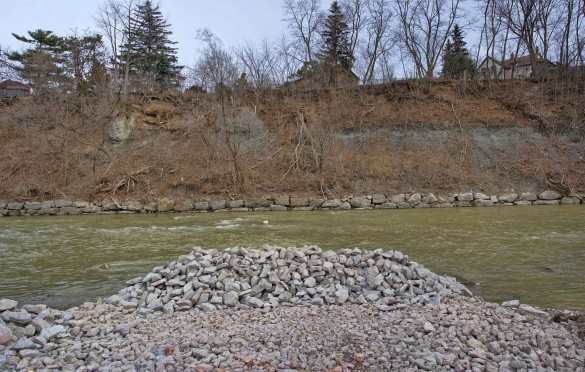
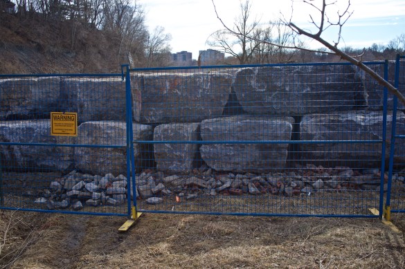
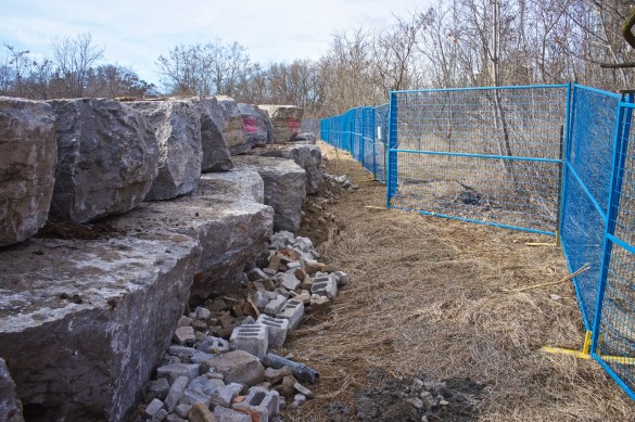
A retaining wall of sorts is already in place, built in 1981 and it has been high enough to provide ‘toe protection’ for most flood events. Unfortunately it wasn’t tall enough to cope with major events such as the storm of July 2013.
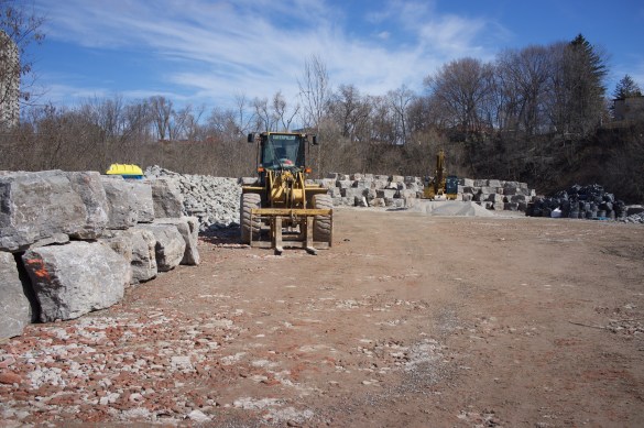
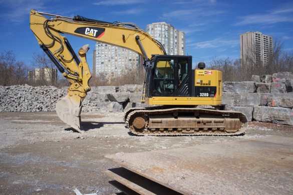
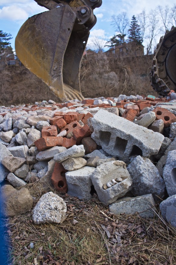
After extensive study, TRCA has decided that in order to stabilize this stretch of the Humber, a 6.5 metre tall ‘replacement armourstone wall’ and stabilization measures need to be put in place on 170 metres of the east bank before more land disappears downstream.
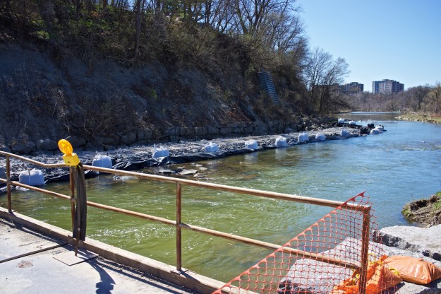
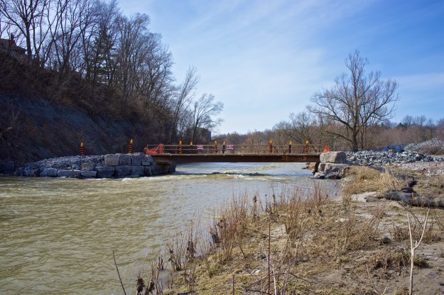
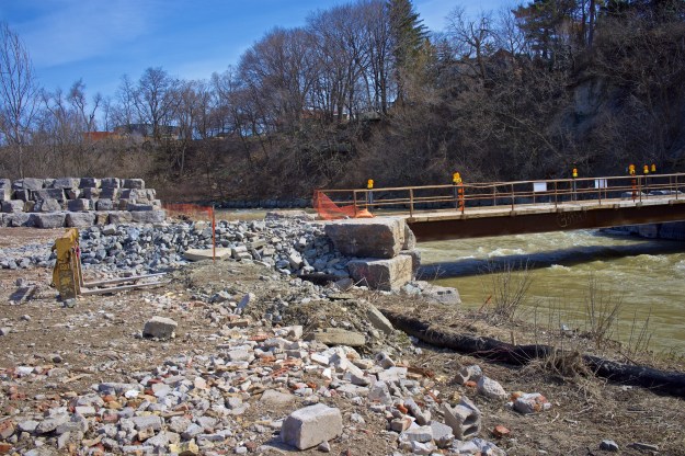
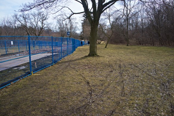
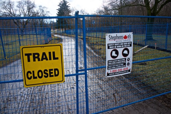
Raymore Park entrance. Notice that the pathway and direct footbridge access is blocked to pedestrians. This could have been avoided by fencing off a narrow gap on the left.
Looking south from the parking lot. The trail resumes further down.
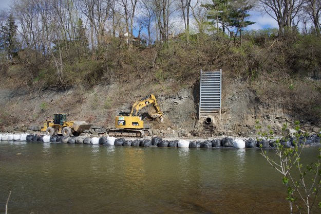
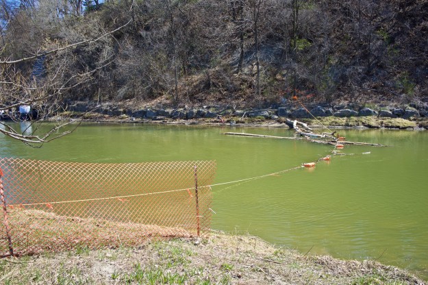
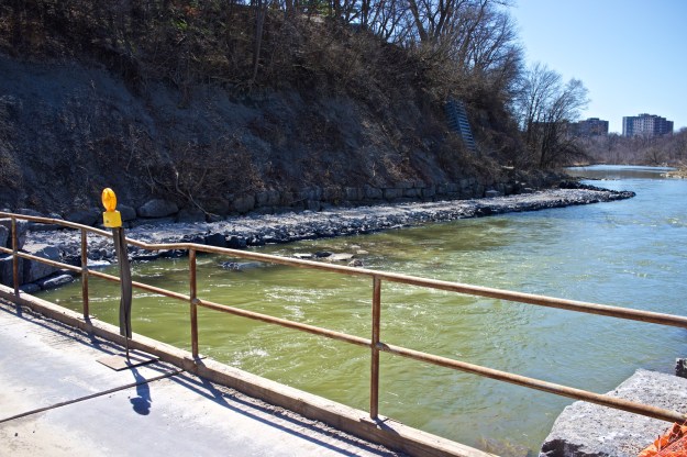
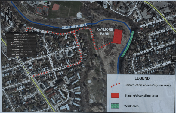
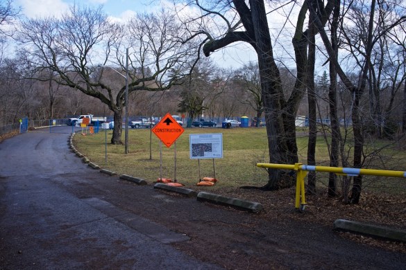
Since construction from the top of the east side is impossible, the plan is to access the wall through Raymore Park.
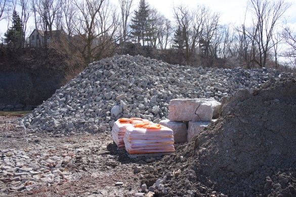
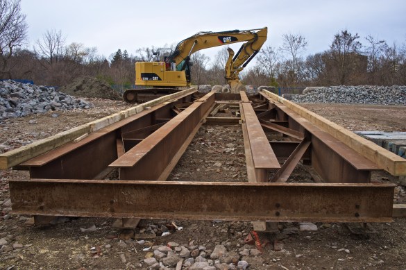
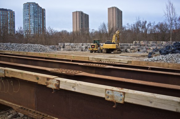
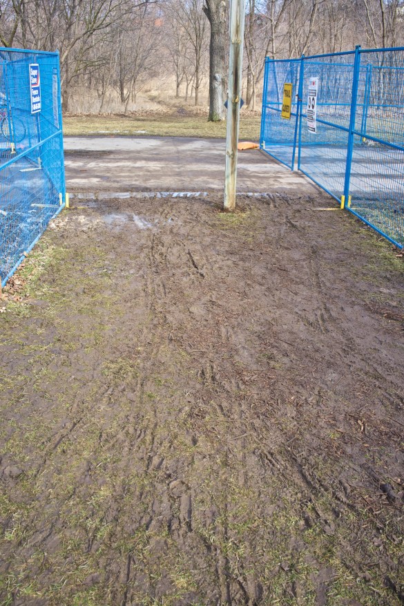
Unfortunately the solid winter ground from the bike path to the river expected by the construction crew has failed to materialize (so far) and a steady stream of trucks has been offloading fill onto the site in order to construct a stable road down to the river.
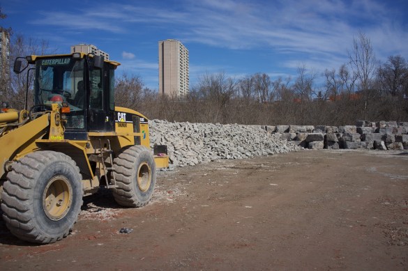
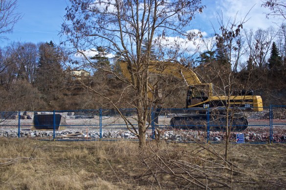
Sadly dozens of native trees that were planted several years ago have been removed from a surprisingly large area. Presumably these will be replaced but this will delay the expected native canopy planned for this section of the park.
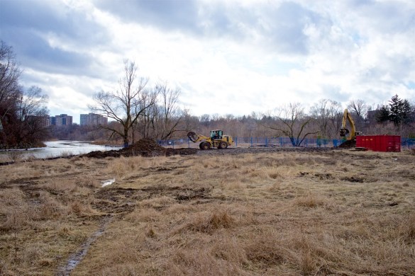
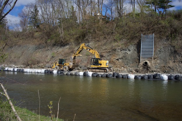
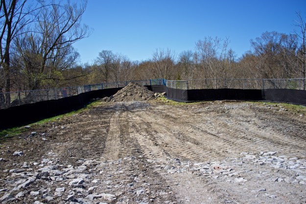
The new road under construction leading to the river. Notice the clearance of all trees and shrubs.
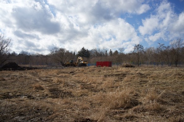
Another view showing the extent of the clearance.
In the meantime, pedestrians are having a messy time getting access to the footbridge from Raymore Drive, the continuation of the path further down the park and there are questions regarding the replacement of trees and shrubs lost when the land was cleared.
According to the leaflet delivered to homes in the area, the work is scheduled to be completed by the end of March and restoration of the land will take place in the fall. Projected cost: up to a maximum of $250,000.
At the same time, more sewer rehabilitation work is ongoing along the Humber that will necessitate further tree clearance along the path of the sewer line between now and the end of March and this will extend along the river between Raymore Drive to well past Eglinton. The City of Toronto has more information here.
Later this spring will begin the construction (if given final approval) of the proposed leash free zone (Many dog owners seem to have declared Raymore Park leash free already). This will bring even more heavy equipment through the park. A final meeting is scheduled for February 25th at 6:30pm in Westmount Junior School, 95 Chapman Rd. Councillor Rob Ford will be in attendance.