Category Archives: TRCA

Exploring Toronto’s Aerial History: Raymore Park Before Hurricane Hazel

In the City of Toronto Archives there are extensive aerial photos of the city taken between 1947 and 1992. They are black and white images but reasonably detailed. While researching Hurricane Hazel I was able to download an image of what is now Raymore Park to reveal the community that existed just over a year before Hurricane Hazel struck in October 1954. Colourizing and sharpening the photo makes it resemble today’s satellite images (details are unchanged but colours are arbitrary and not historically accurate) from Google and help appreciate the extent of community that existed back then. I have labelled relevant streets.

Raymore Drive extended into what is now the park, hugging the river’s edge before heading south and looping back onto Gilhaven Avenue.

Click to enlarge.

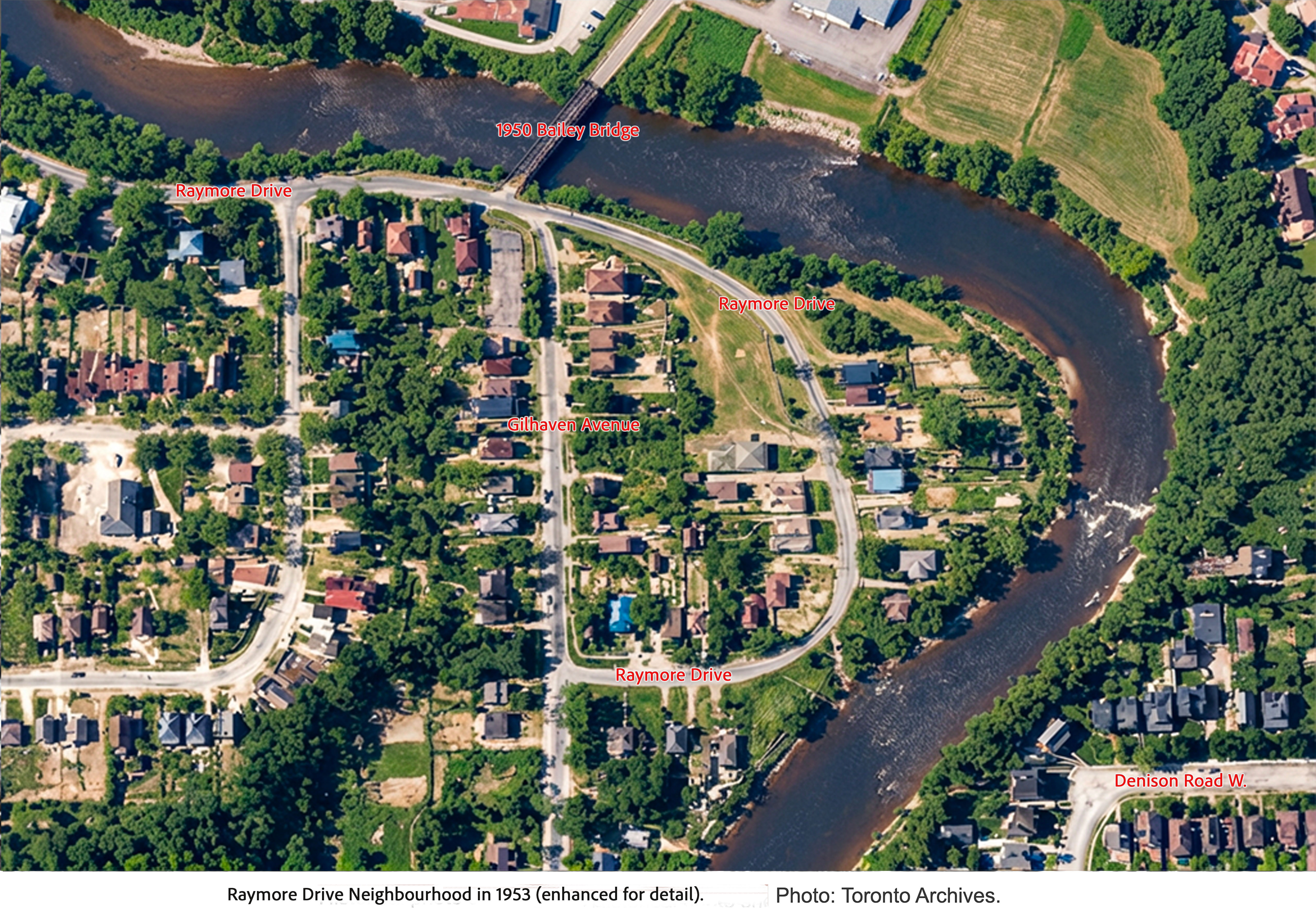
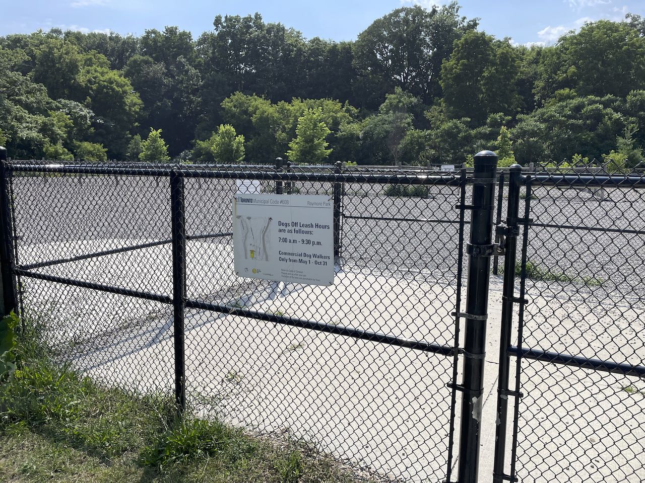
I was surprised at the size of the community with houses occupying much of the flood plain land and stretching a considerable way down Gilhaven Avenue (now the approximate location of the bike path). It looks as if it was an idyllic place to live – riverside dwellings but with city amenities. There was even a beach for the kids. Many of the homes were cottage style on blocks while some had full basements. Most are a lot smaller than our modern dwellings. The homes destroyed seem to have been along the river’s edge at the far right and lower edge of the peninsula. The people who died lived on this stretch of Raymore.

At the top of the image, on the other bank of the river, parts of the (now demolished) water filtration plant can be seen.

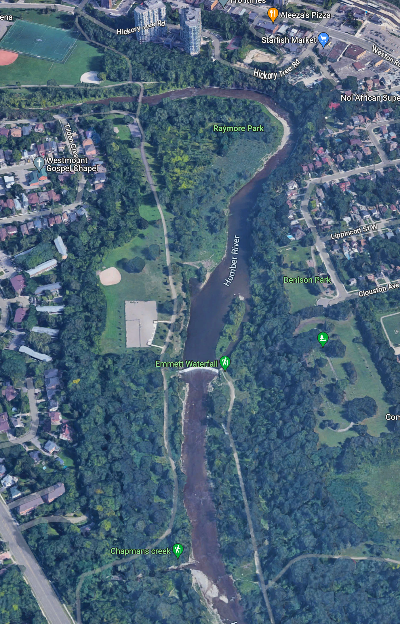
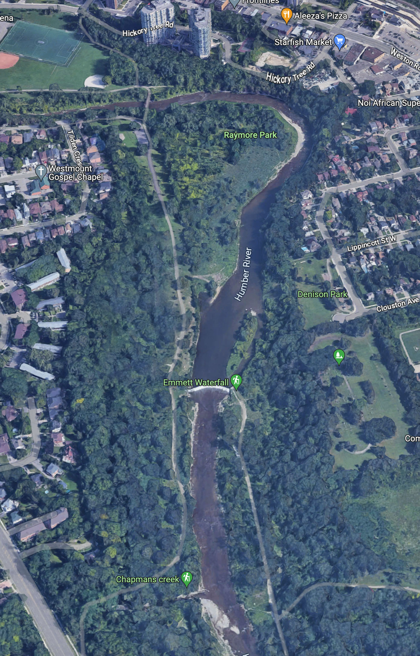
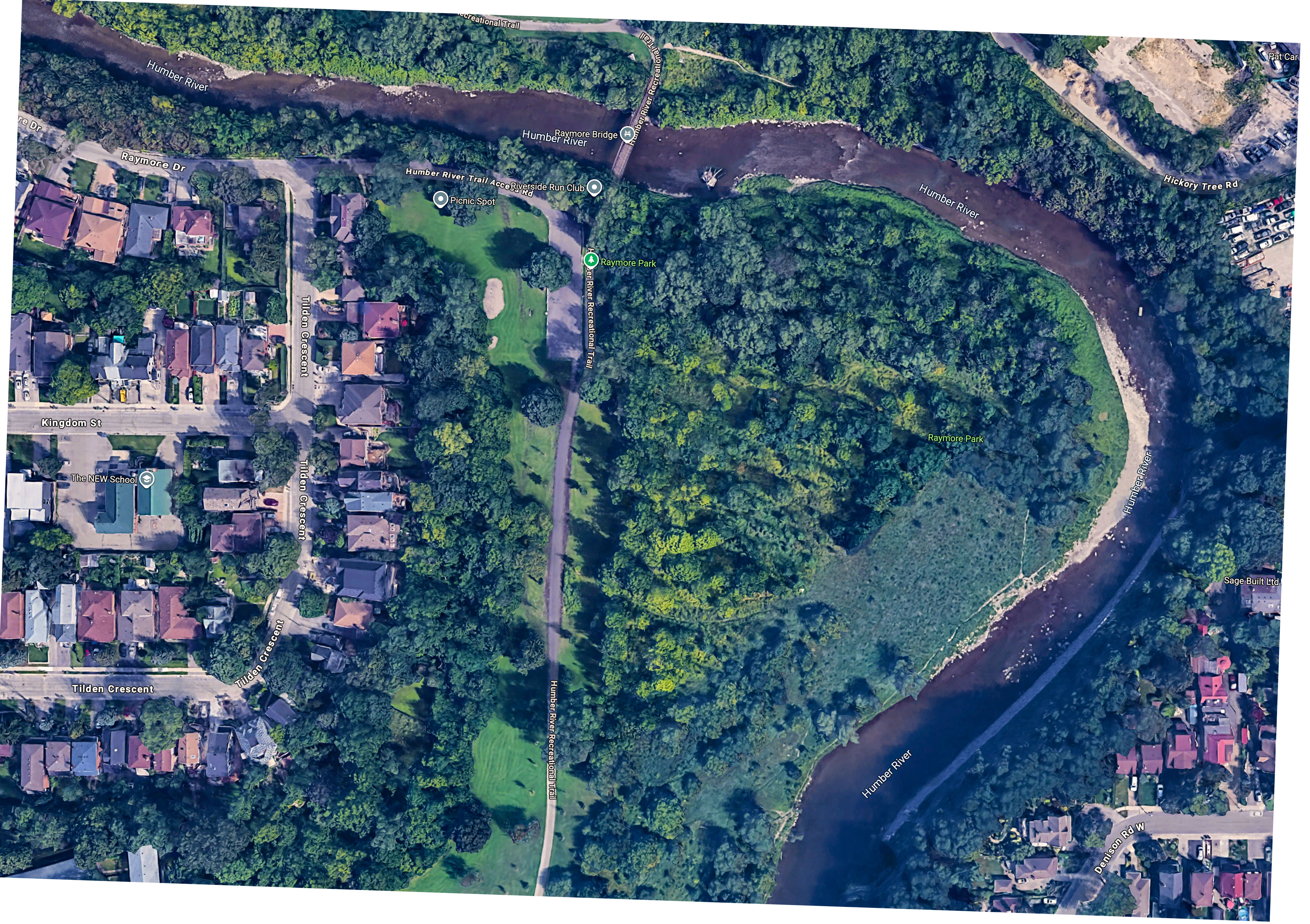
Below is a recent satellite image and I have adjusted the size and rotation to match that of the 1953 photo.

From Google. Click to enlarge.

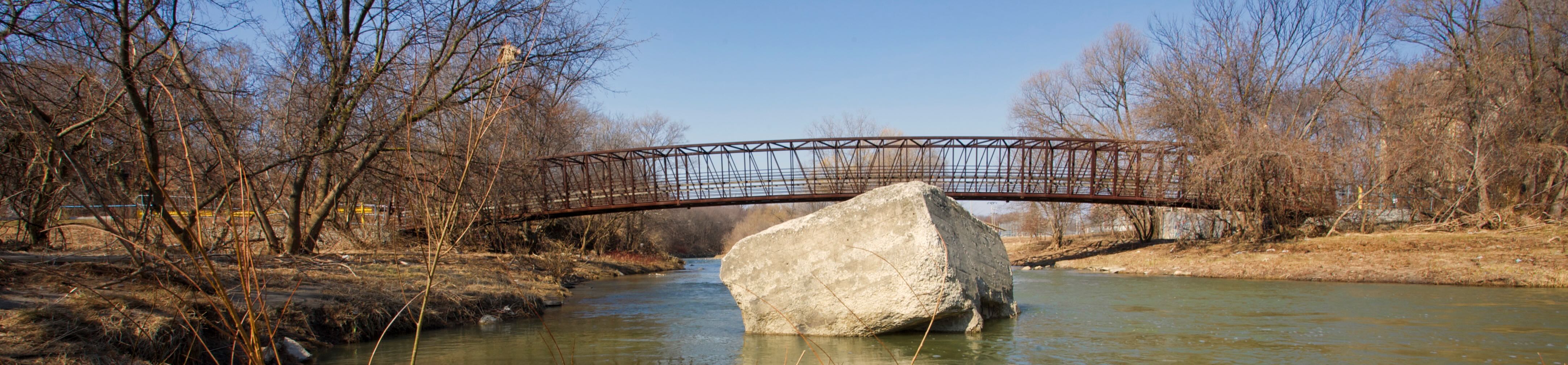
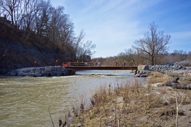
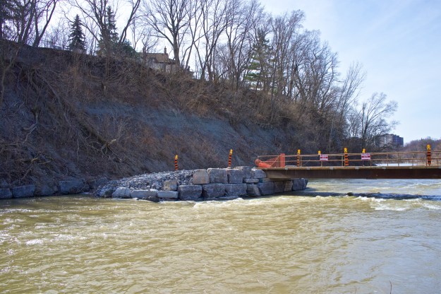
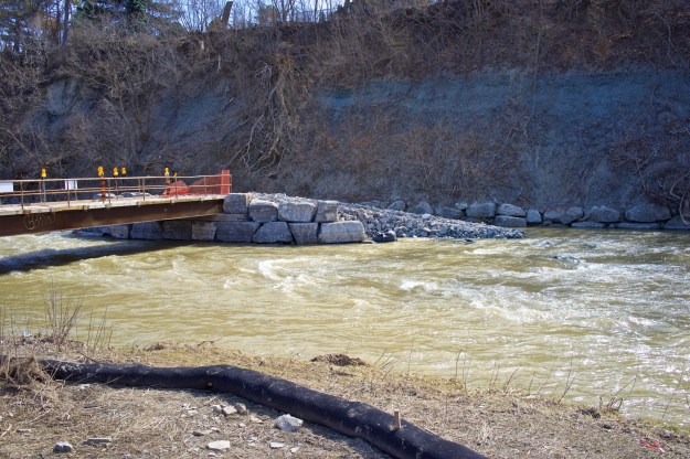
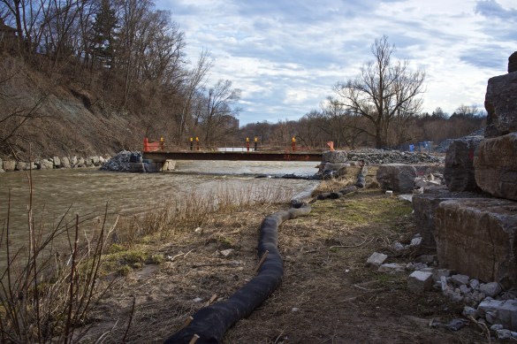
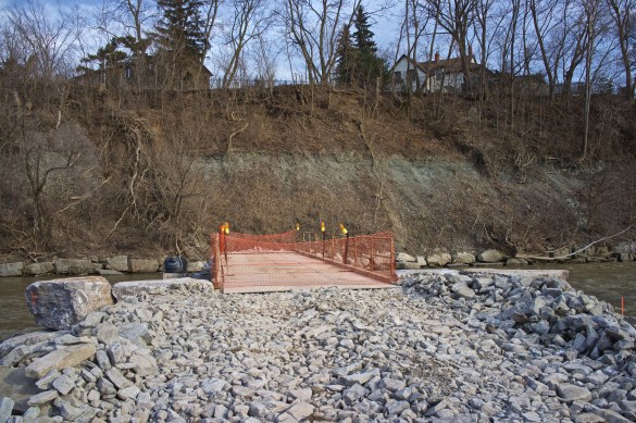
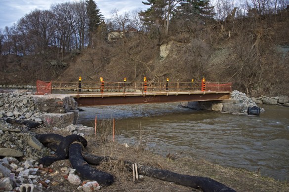
The Bailey Bridge seen in the upper photo was put there in 1950 and both of the old abutments can be seen to this day. The current footbridge was installed in 2005.

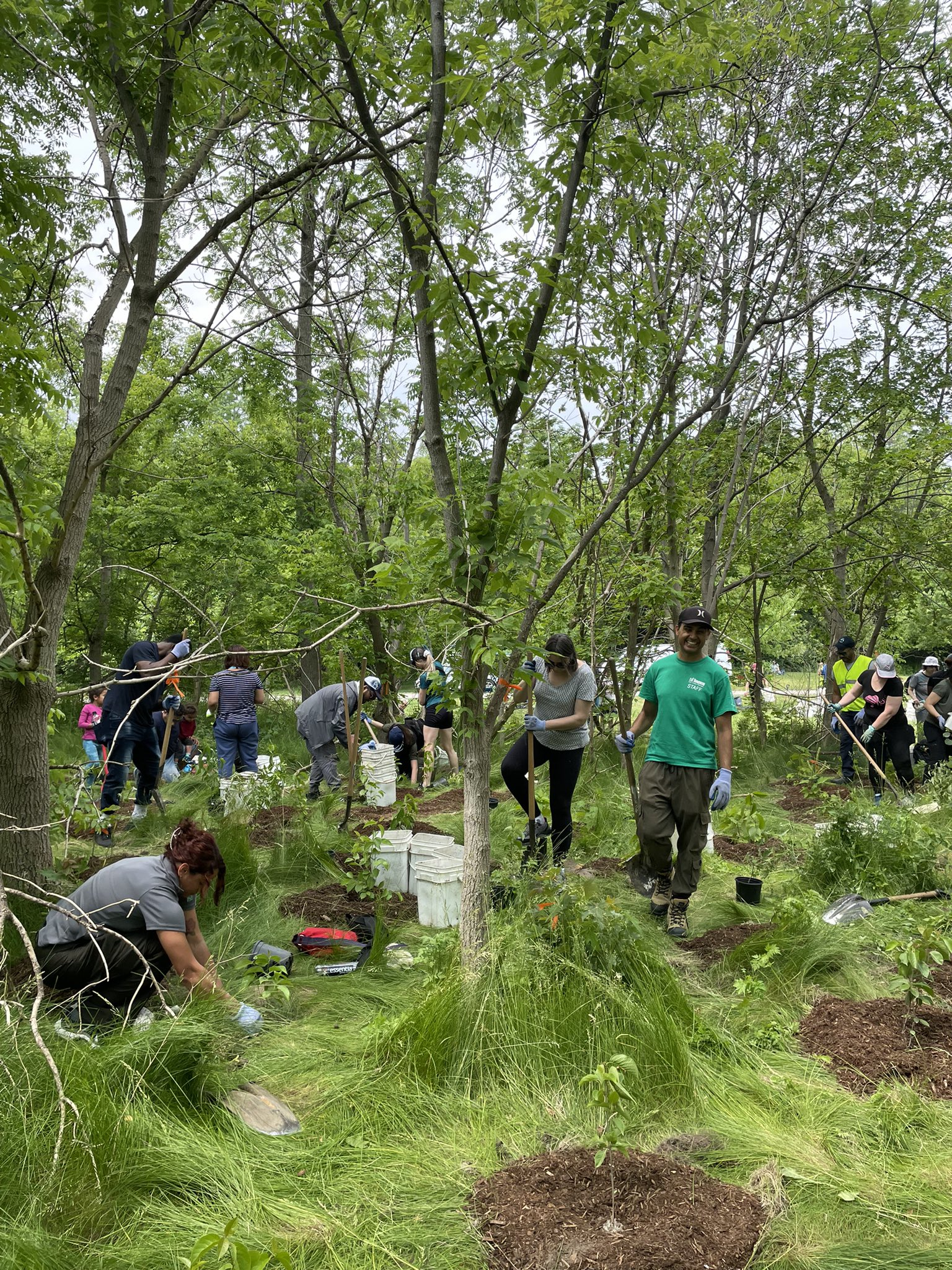
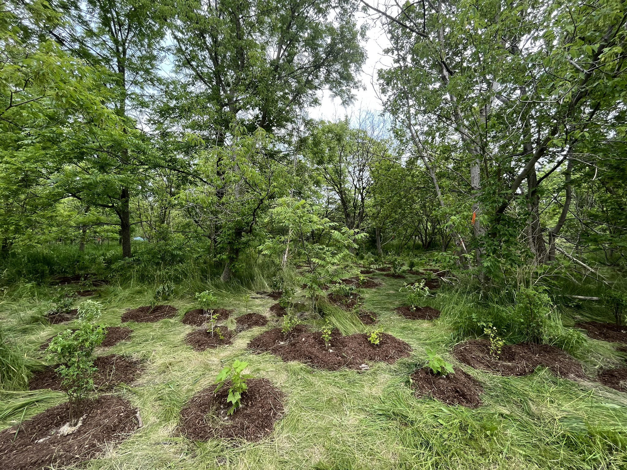
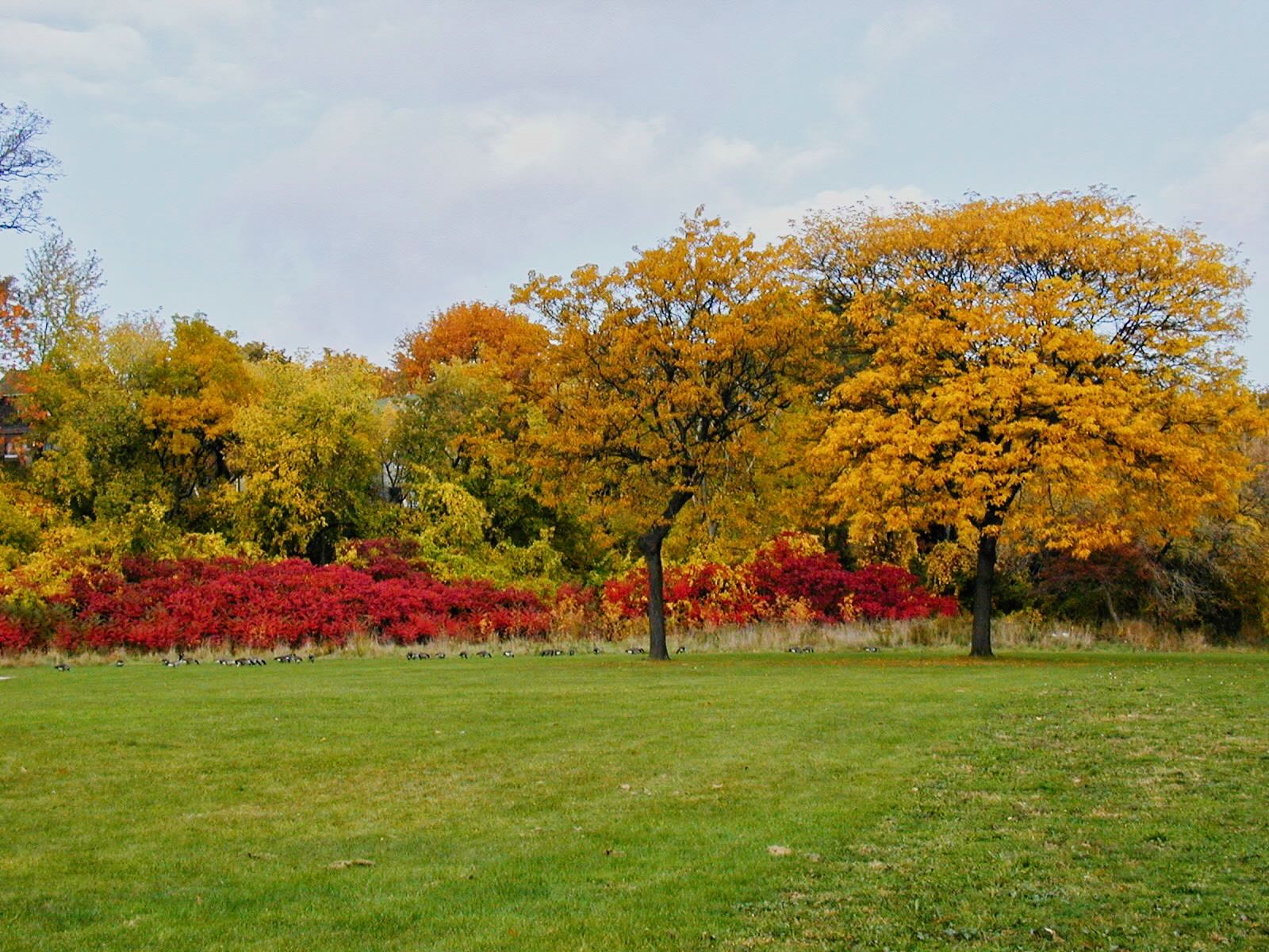
Some of the homes along what is now the bike path were undamaged apart from flooded basements but authorities at the time elected to remove all homes in the flood plain leaving only Tilden Crescent intact. Raymore Drive was ended at Tilden and Gilhaven Avenue ceased to exist.

Very few of the buildings on surviving streets from 1953 exist today – I recognize the house that once stood at the east corner of Raymore and what is now Tilden, Westmount Gospel Chapel on Kingdom and some homes on Denison. Readers are welcome to add discoveries of their own.

Old Encampment tough to remove.

The layers of specialty run deep at City Hall and particularly the various teams of the Parks and Rec. people.

The people who set this up are long gone but the memory lingers on… April 28, 2026.

This collection of garbage from an abandoned encampment has been sitting for what looks like a few months in the middle of the wild area just south of the parking lot. I discovered it while doing research on Hurricane Hazel. One would expect that the city would want it cleaned up quickly.

11 days ago, I submitted a request to 311 to have the area cleaned up. Yesterday I phoned to check on progress and this morning I had a message from Jacqueline at Parks saying that the reason it has taken so long is as follows:

First the site had to be checked by the Encampments Team to make sure it’s not active. Ok, fair enough. This took place on April 20.

Next, Parks Operations checked out the site and determined that it’s too close to the ravine. It’s on flat ground and nowhere near the water but whatever.

A view of the mess from the other direction. April 28, 2026.

The Ravines Team was then assigned. I guess the Encampments Team isn’t able to make such determinations.

Great, so where’s the Ravines Team? Sadly, the Ravines Team cannot do their job because, “Conditions are not great because of all the rain so we don’t send our staff out until things have settled in terms of terrain and stability”. I assume that they worry their truck will get stuck in the soft ground.

By sheer chance, a clean-up crew from TRCA (with a canopy tent) was present in the park today and about a dozen able-bodied people emerged from a huge bus ready to do a park clean-up. There were grabbers galore for ease of pick-up and lots of gloves and garbage bags.

I talked to a lady under the canopy tent and let her know about the old encampment. I offered to guide people to where it was but she insisted she would find it. She told me the park had vey little litter to pick up otherwise.

This story has a happy ending – right?

A bus dropping off a TRCA clean-up team at 10:05 on April 28, 2026.

Wrong!

On returning this afternoon, TRCA and the canopy tent had vanished but sadly the garbage hadn’t. Rain is forecast for the next seven days so conditions will continue to be too wet for the Ravines Team.

In the meantime, this garbage will pollute the park and encourage others to do so. Call me naive but how hard would it be to keep the truck on the path while the team bags and carries the garbage 70 metres to the truck?

Off-Leash Area, six years later.

The Raymore Park dog off-leash area (DOLA) was opened with some fanfare by Premier Doug Ford’s nephew six years ago. Its design followed standard Toronto Parks and Forestry protocols, namely removal of vegetation and topsoil then replacement with pea-gravel and fenced with rustic poles and rails backed up by a wire containment fence. The aim was to provide an off-leash area where dogs could exercise and socialize safely. The idea, sold at a community presentation was that the DOLA would be used mainly by local residents and that any extra traffic would be minimal.

The site of the present-day DOLA back in October 2008 looking south-west..
The DOLA under construction in February 2017 looking north-west.
Then councillor (red top) Mike Ford at the opening ceremony on July 10, 2017.

The DOLA was built with several design flaws.

1. The small dog enclosure is only accessible by passing through the large dog enclosure.

Small dogs must run the gauntlet to get to their enclosure. July 2017.
The small dog area with landscape fabric in the foreground. July 2023.

2. The pea gravel surface irritates dog paws making exercise out of the question for most.

3. No shade for dogs and owners. A few trees have been planted but these will take many years to mature.

Some trees have been planted but no shade – and harsh pea gravel. July 2023.

4. The space is totally alienated from nature and looks more like a cattle feedlot.

The DOLA and remaining (unused) baseball diamond just north of Emmet Waterfall. Google Maps.

A few observations:

  1. The DOLA is empty most of the day.
  2. The DOLA is popular with commercial dog walkers but a majority of individual owners seem to prefer other parts of Raymore park.
  3. Commercial dog walkers are banned from November through May but many of them use the park year-round.
  4. Compared to the rest of the park, the off-leash section is a barren wasteland.
  5. Thanks to pea gravel making running uncomfortable, dogs get little exercise.
  6. Many people ignore leash by-laws in the park.
  7. The DOLA has done little to protect park wildlife from off-leash dogs.
  8. By-law enforcement seems to have disappeared since Covid.
  9. The DOLA seems to have been a huge waste of money and resources.

Overall Grade: D-

Public Consultation:

A Toronto-wide consultation process was begun in June 2019 to gather feedback on how to improve DOLA design with stakeholder meetings and public surveys. The effort seems to have ground to a halt during Covid as there are no updates beyond this one in 2020.

My two cents: The DOLA should never have been built as there was no demand for it – especially for one so flawed. Far better, cheaper and less disruptive, to have allowed the huge open space between the two unused baseball diamonds to be planted with native trees and create a woodland / wildlife corridor that would join with the one south of the weir.

What might have been – extending the woods north beyond the falls to form a wildlife corridor. Google Maps.

Extra Credit: Read Maria Kwok’s thorough review of Raymore Park’s DOLA here.

(Another) Mid Humber Gap Trail Update

Readers may remember that the Humber cycle and pedestrian trail has a gap around the junction of Weston Road and St Phillips. The trail ends because the Humber’s banks are occupied by private property – mainly the Weston Golf and Country Club.

The gap in the trail forces able-bodied cyclists to lug their bikes up a huge flight of stairs and deters a huge number of others who are daunted by the danger of Weston Road and the physical exertion required to push a bike up several stories.

Cyclists climbing the stairs towards a dangerous trek along Weston Road.
It’s the end of the trail for this family.
The dangerous stretch of Weston Road that links two sections of the trail. Note the optimistic ‘sharrows’ indicating that vehicles share the road with cyclists.

After more than two decades of study and consultation, a solution was found out of several options that would allow the trail to continue its way alongside the Humber without encountering stairs or traffic. The solution involved a couple of bridges and some fencing where the golf club borders the river. After the final hurdle of an environmental assessment by the city and TRCA, the project was given the green light. Ominously, somewhere in the documents was the fact that the Weston Golf and Country Club was concerned about the safety of pedestrians and cyclists during flood events. Some of the great unwashed might find themselves in the Humber after a rainstorm. Think of the liability.

The WGCC is a popular club with a waiting list to get in. They have a decades-old arrangement with the city to defer a (confidential) percentage of their property taxes as long as they operate as a golf course. The club has powerful members who may or may not have the ear of Premier Ford who lives nearby.

The entrance to Weston Golf and Country Club on St Phillips

Enter a pantomime villain in the shape of David Piccini, Ontario’s 34 year-old Environment Minister. Piccini has likely been told to kill the project and may well have done so. Piccini insists that the environmental assessment done by the city and TRCA is somehow inadequate. He has demanded a do-over, effectively stalling the project. In response, the city has commenced a Notice of Application for a Judicial Review in Divisional Court and is challenging the Province’s order for further study on the Mid Humber Gap Trail.

The hearing is scheduled for November 15, 2023.

Is it really the end of the trail?

I guess we’ll find out about the power of a publicly subsidized golf course and how easily due process in a democracy can be perverted – or we might be pleasantly surprised at the judiciary acting in the public interest.

Toronto’s new mayor may have something to say about this.

Tree planting a success

A large number of people gathered on the morning of Saturday June 10 to plant 325 native trees and shrubs in the wild area just south of the parking lot.

Shovels of all sizes at the ready.
An impressively large crowd attended.

The event organized by The Humber River Citizens’ Alliance and the City of Toronto was begun by a talk from Toronto historian Madeleine McDowell who gave an outline of the events of Hurricane Hazel which eventually prompted the establishment of conservation areas throughout the GTA.

Madeleine McDowell outlines the story of Hurricane Hazel and Raymore Park.

Anishnaabe Grandmother Waterkeeper Vivian Recollet spoke of the value of nature and the need to respect growing things.

Vivian Recollet talks about native traditions and respect for the land.

The event was well organized and the work went quickly.

Volunteers hard at work. From Toronto Forestry Twitter account.

As mentioned, a total of 325 trees and shrubs were planted and the recent rain will no doubt help considerably with their establishment.

Trees and shrubs in their new home along with lots of mulch. From Toronto Forestry Twitter account.

Raymore Park: changes over the years – Part 1.

This year marks 30 years since I started coming to Raymore Park. During that time many changes have occurred, most of them reflecting adjustments in park philosophy and management.

1. Pesticides:

Herbicides were sprayed here – just north of the current off-leash area. October 2000.

Back in 1993, park staff would spray grassy areas with herbicide in order to keep weeds down and in particular, poison ivy. They used Roundup (Glyphosate) which is pretty potent. Caution notices were placed on the grass informing people that weedkiller had been sprayed but these didn’t last long. At that time, much more of the park was grass (more on that in another article). Despite the claims of Monsanto, Roundup when sprayed over such a wide area is probably terrible for wildlife and dogs. The City banned pesticides in theory in late 1998 but the practice continued for a while after that according to this article from 2000.

2. The Humber Footbridge.

The 1917 ‘swing’ footbridge that was condemned and replaced in 1950. Photo via Weston Historical Society.

When Hurricane Hazel struck in 1954, a four-year-old footbridge over the Humber was swept away. This link between Westmount and the stores in Weston wasn’t replaced until 1995 some 41 years later. The bridge gets a substantial amount of use from cyclists, sightseers and commuters who can be whisked to the airport or downtown in about 15 minutes via the UP Express on Weston Road.

Read this excellent article on the three Weston footbridges from the Weston Historical Society.

The bridge with an abutment of the 1950 version in the foreground; looking upstream in March 2009.

3. Garbage Containers.

Garbage containers were either lined wire-mesh bins or the occasional re-purposed oil drum back in the 20th Century. There were no recycling containers back then – just open-topped receptacles that went uncollected during the winter. The cans and baskets weren’t replaced with the current wheeled carts until 2012.

Even with our clearly marked carts, park users are fairly indiscriminate where they toss their waste, so the recycling bins become contaminated and their contents worthless. As a result, garbage and recycling are collected by the same truck and the contents lumped in altogether.

From February 2004.

Today in Raymore Park – April 13, 2023.

A group of TRCA employees and volunteers was on a litter cleanup this morning and they gathered quite a haul of trash in perfect weather with temperatures in the 20’s.

All in a morning’s work.

I shouldn’t be surprised at the volume of trash and litter the park receives on a regular basis but this is a fairly typical haul for springtime and more was being gathered while I was there.

Protest planned for January 7

From Stop the Trains in Our Parks:

Join us for a peaceful protest to tell Metrolinx and the Ford Government to listen to the community and keep the entire Eglinton Crosstown West Extension (ECWE) underground. We must act now: Metrolinx plans to clear cut thousands of trees in the coming months!

Date: Saturday, January 7, 2023 

Time: 9:30 a.m. to 12:30 p.m.

Location: Starts at the parking lot at 101 Emmett Avenue (near Jane Street and Eglinton Avenue West)

Bring your family, friends and neighbours! Help spread the word!


The Indigenous community and residents in York South-Weston/Mount Dennis are fed up with Metrolinx and the Ford Government’s complete lack of transparency and meaningful community consultation on their ill-conceived plan to build a 1.5km section of the Eglinton Crosstown West Extension (ECWE) LRT as an elevated concrete structure running through irreplaceable urban forest and parkland.

We support the ECWE but demand that this 1.5km section is built underground like the rest of the line. Metrolinx has publicly admitted it is technically feasible to go underground. 

This greenspace—the Humber River, Eglinton Flats and Fergy Brown Park—is a sensitive ecosystem and wildlife corridor that is home to Threatened and Endangered species. It is used for Indigenous ceremony and education, recreation, sports and social activities. 

Who’s leading the protest?

The protest is being led by the ENAGB Indigenous Youth Agency, with the support of allies and community groups, including Stop the Trains in Our Parks (STOP)the Mount Dennis Community Association (MDCA)the Mount Dennis eco-Neighbourhood Initiative (MDeNI), and others. 

About the ECWE

The Eglinton Crosstown West Extension (ECWE) will continue the Eglinton Crosstown LRT from Mount Dennis Station west to Renforth Drive. Metrolinx and the Ford Government plan to build most of the ECWE underground (the section that runs through Etobicoke), but in Mount Dennis, one of the most economically-disadvantaged neighbourhoods in the city, they plan on constructing an elevated LRT train expressway through Fergy Brown Park, Eglinton Flats and over the Humber River, with two massive overhead stations over Jane Street and Scarlett Road.

Learn more

Watch ENAGB’s video message 

Read ENAGB’s letter to Metrolinx Board Chair and Ford Government 

Watch video with drone footage of the parkland  

Questions?

Email stopthetrainsinourparks@gmail.com 

Retaining Wall Update April 12

It’s truly astonishing seeing the scope of this work and the seemingly glacial pace at which it is trundling along. As of last weekend, not much has changed except that the new bridge has had its eastern abutment extended to the far bank.

The bridge with its extended abutment.

The bridge with its extended abutment.

The result of the new abutment is to constrict the river at this point and warnings have been placed south of the bridge about the dangerous flow.

A close-up of the abutment.

A close-up of the abutment.

The extended abutment from downstream.

The extended abutment from downstream.

text

The faster flowing water downstream.


Retaining Wall Update March 30

Another week has gone by and progress has been made in the form of the long awaited bridge. We are now at the point (end of March) where the work was estimated to have been completed. As I have pointed out before, this is a huge undertaking. The scale of the materials and work needed to upgrade this relatively short section of retaining wall is staggering. The hard part is gaining access a long way from any roads and from the opposite bank of the river.

Panoramic shot of the bridge abutments.

A panoramic shot of the bridge abutments. The bags of gravel are to help protect the near abutment from the strong spring current.


The bridge with decking newly installed.

The bridge with decking newly installed. According to the orange paint, the capacity of the bridge is 27,000 lbs. I’m surprised they are still working in pounds.


Looking across the bridge.

A view of the bridge deck and western abutment. On the far bank, a distinct geological layer change can be seen, about a third of the way from the top. The lower grey shale layer is from the time Weston was covered by a tropical sea.

A view of the bridge from the south.

A view of the bridge from the south.

This is literally a ‘bridge to nowhere’ as the span is there to provide access to the opposite bank for the crane rather than to cross the river. Now the actual work of building the retaining wall can begin. It will be interesting to see how they go about removing the existing wall while stabilizing the slope.